
Bristlecone Trail
Hike to the Wheeler Peak Bristlecone Grove 2.8 mi round trip · the Park Service's write-up
1-3 Hours · no dogs · Spring, Summer, Fall
Start Bristlecone Trailhead
Trail Overview
Total Distance: 2.8 miles / 4.5 kilometers
Starting elevation: 9,890 feet / 2,987 meters
Elevation Gain: 600 feet / 183 meters
Difficulty: Moderate
Time: 1.5 hours - 3 hours
Begin at : Bristlecone Trailhead/End of the Scenic Drive
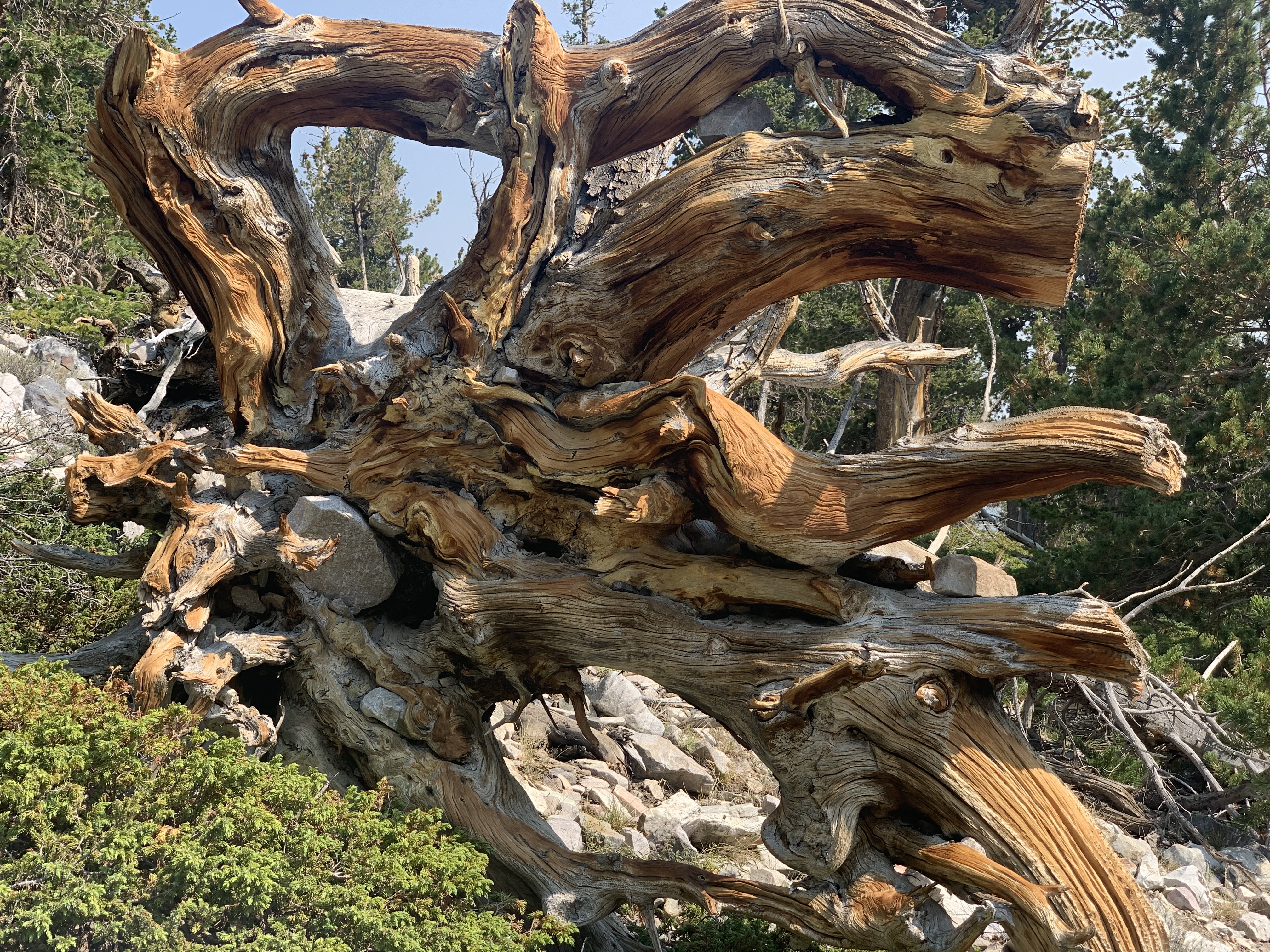
Perhaps the most popular trail in Great Basin National Park, the Bristlecone Trail steers visitors up to the Wheeler Peak Bristlecone Grove, the most easily accessible in the park. An interpretive loop with signs talking about these bristlecones and their impressively long lives sits at the end of the trail, with the Glacier Trail beckoning beyond. The grove extends well beyond the loop, and was home to the Prometheus Tree, the oldest non-clonal organism on earth when it was cut down in 1964, prior to the creation of the national park in 1986. These ancient trees have been seen to grow as old at 5,200 years in the case of Prometheus, and have lived in what is now the park for untold millenia.
The Alpine Lakes Loop overlaps the early sections of this trail and can be linked together for a total combined distance of 4.1 miles / 6.6 kilometers. See the trail map below (unavailable on NPS app) for clarification on the overlapping sections.
Beginning at an elevation of just under 10,000 feet, these trails provide both a respite from the summer heat of the Snake Valley, but also added dangers in the form of altitude sickness and afternoon thunderstorms. Be prepared with plenty of water and salty snacks, or to return to your vehicle if you become symptomatic of altitude sickness or see thunderclouds rolling in.
This hike starts at the Bristlecone Trailhead at the end of the Wheeler Peak Scenic Drive. Parking outside of designated spaces or along the road is prohibited.
No pets permitted on park trails. Trained service animals allowed. Learn more about service animal regulations at this link.
Water
Potable water is not available along the Wheeler Peak Scenic Drive. Pack sufficient water with you, about one gallon per person per day. Water is available year-round at the nearby Lehman Caves Visitor Center or seasonally at the dump station.
Restrooms
The nearest restrooms are vault toilets at the Bristlecone Trailhead.
Accessibility The trail is rocky, narrow, has steep sections and is not accessible to wheelchairs.