
Baker Creek Loop Trail
Hike the Baker Creek Loop the Park Service's write-up
90-180 Minutes · no dogs
Start Baker Creek Trailhead
Trail Overview
Total Distance: 3.3 miles / 5.3 kilometers
Starting elevation: 8,020 feet / 2,445 meters
Elevation Gain: 850 feet / 259 meters
Difficulty: Easy/Moderate
Time: 1.5 hours - 3 hours
Begin at : Baker Creek Trailhead
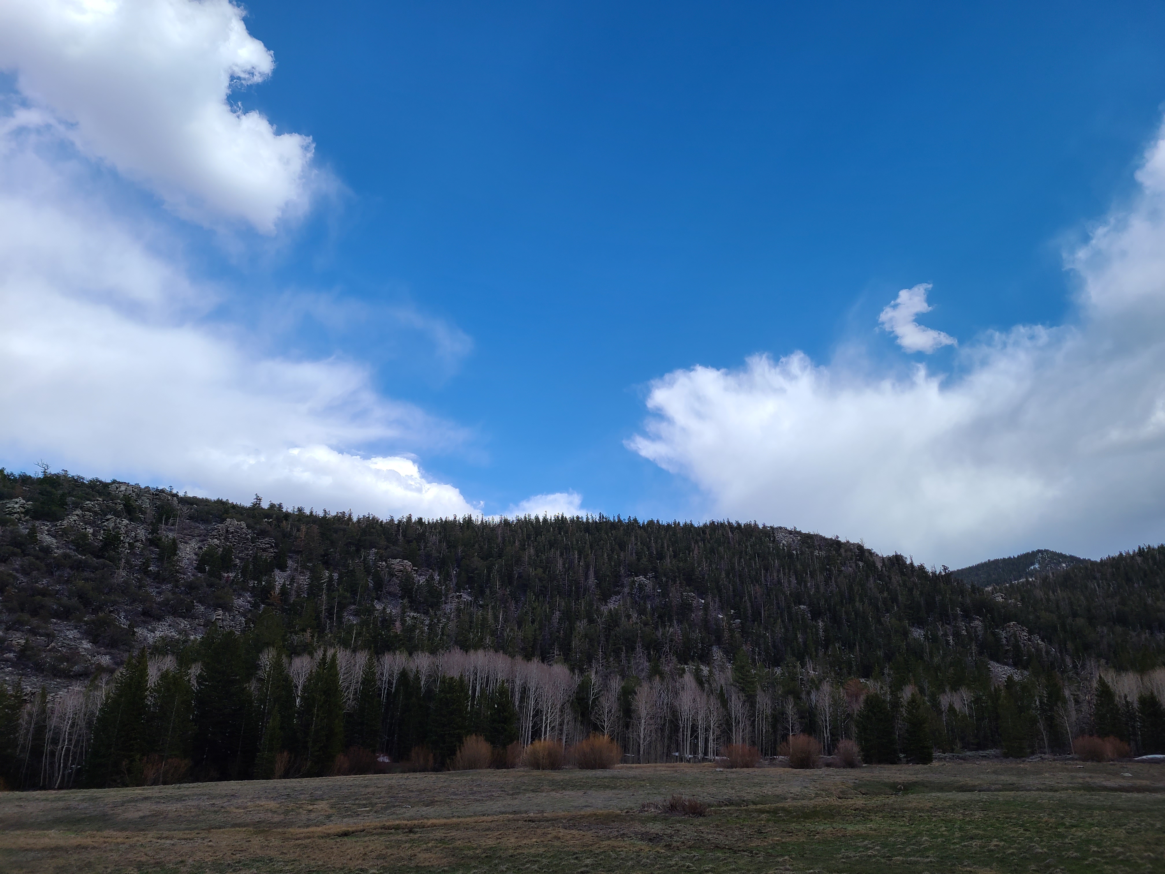
Baker Creek Loop is an upper easy/low moderate trail open for a majority of the year. This forested hike meanders through conifers and low lying sagebrush and grass meadows. The top of the loop greets visitors with the welcome sight of a green meadow in the summer and late spring, or a snow covered pristine surface in winter after a snowshoe. Wildflowers often fill the fields around the trailhead in the springtime, along with the meadows along the trail.
This hike starts at the Baker Creek Trailhead at the end of Baker Creek Road. Parking outside of designated spaces or along the road is prohibited.
No pets permitted on park trails. Trained service animals allowed. Learn more about service animal regulations at this link.
Water
Potable water is not available along Baker Creek Road. Pack sufficient water with you, about one gallon per person per day. Water is available year-round at the nearby Lehman Caves Visitor Center or seasonally at the dump station.
Restrooms
The nearest restrooms are pit toilets with no running water at the Baker Creek Trailhead.
Accessibility This trail is not accessible.