
Beach Trail
CampgroundsBoat launches
Along the way Public Boat Launch Bartlett Cove Campground
Trailheads Beach Trailhead 27 ft Drive there · Forest Trailhead 110 ft Drive there
Hike the Trails at Bartlett Cove the Park Service's write-up
no dogs
Start Bartlett Cove
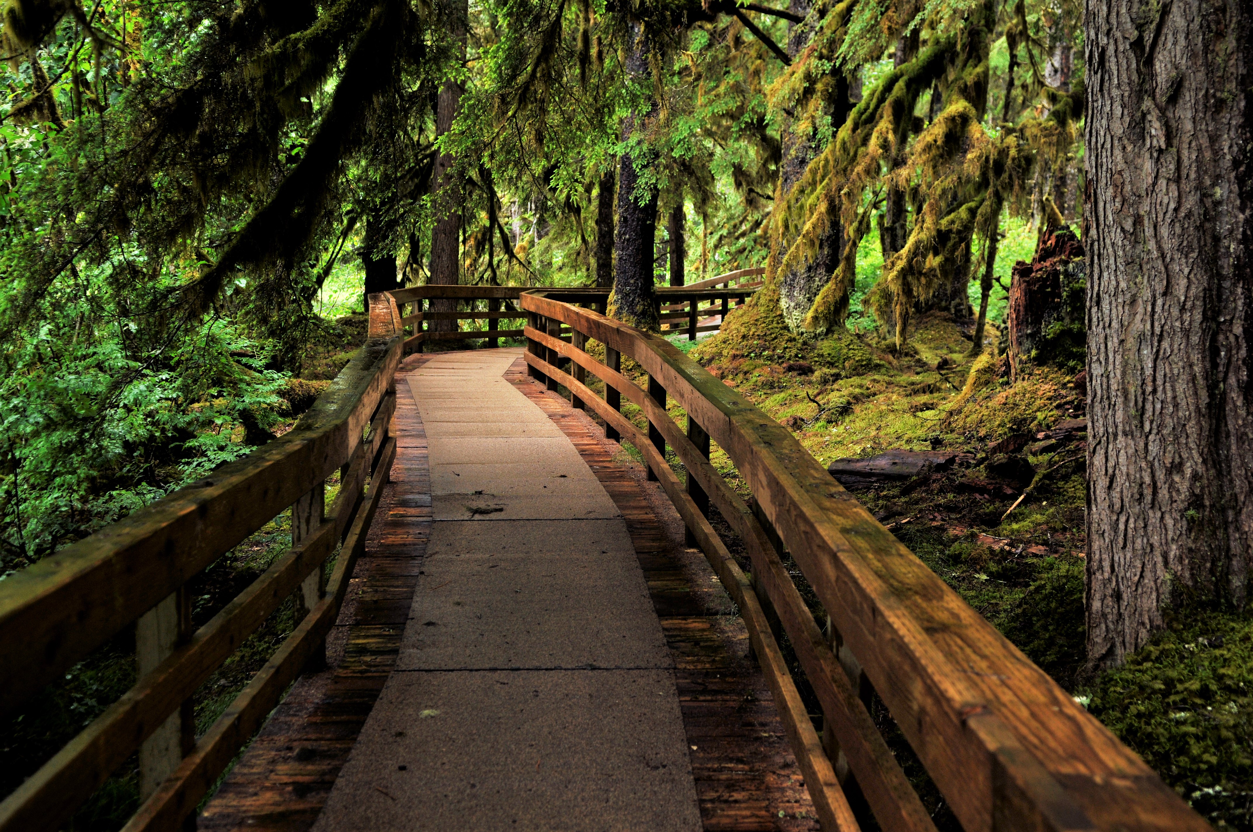
Walk through enchanting temperate rainforest, explore sea life in the intertidal zone, or soak in knowledge about the park's cultural history on a hike in Glacier Bay! There are four trails in the Bartlett Cove area: the Forest Loop Trail, the Bartlett River Trail, the Bartlett Lake Trail, and the Tlingit Trail. They vary in length, but can accommodate a variety of ability levels and ages. Though there is no trail, exploring the shoreline from Bartlett Cove is also an incredible way to experience the park. Visit the Glacier Bay hiking page for information on trail length and descriptions.
Ranger Recommendation
The wet climate of Southeast Alaska makes for muddy, often slippery trails and surfaces. Be sure to wear sturdy shoes with good traction. Rubber boots ( SE Alaskan Sneakers ) are popular here. Watch where you are stepping and take your time!
Accessibility The trails vary in grade and width. All are dirt paths, with roots, rocks, and muddy areas.