49 named trails · 73 miles · 8 trailheads · 1 with the Park Service's own write-up. The lines, trailheads and points are the Park Service's; the write-ups are the Service's own words; the climbing is read from USGS elevation along each line.
9.3 mi one way · about 100 ft of climbing · 150 ft of descent · 39 ft–101 ft · earth, gravel surface · atv, bike, dog sled, hiking, horse, ski, snowmobile, snowshoe · seasonal: Winter seasonal closure
1.7 mi one way · about 80 ft of climbing · 200 ft of descent · 59 ft–207 ft · native surface · dog sled, hiking, horse, ski, snowshoe · seasonal: Winter seasonal closure
TrailheadBartlett River/Bartlett Lake Trailhead 196 ft Drive there
Hike the Trails at Bartlett Cove the Park Service's write-up
no dogs
Start Bartlett Cove
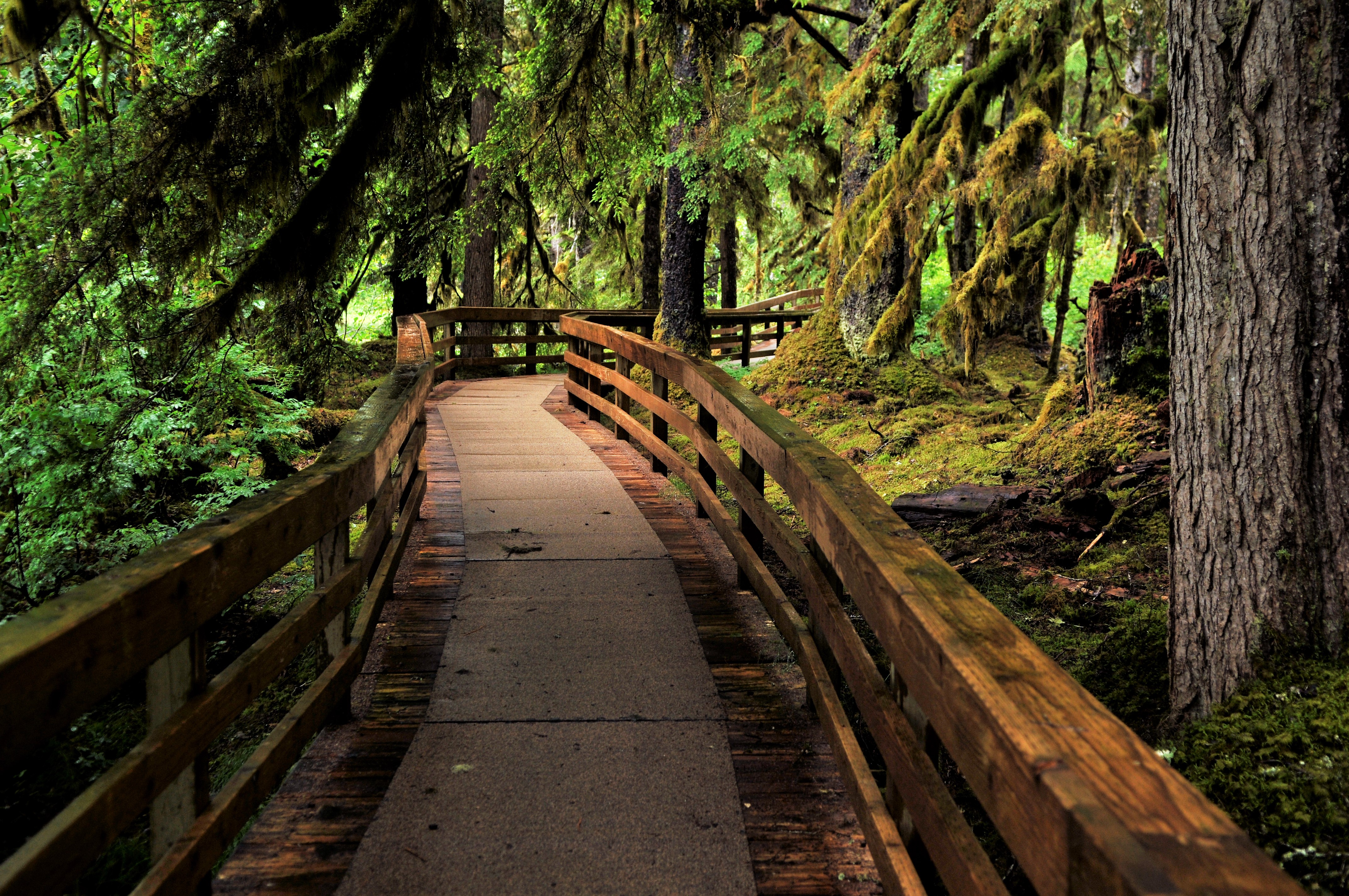
Walk through enchanting temperate rainforest, explore sea life in the intertidal zone, or soak in knowledge about the park's cultural history on a hike in Glacier Bay! There are four trails in the Bartlett Cove area: the Forest Loop Trail, the Bartlett River Trail, the Bartlett Lake Trail, and the Tlingit Trail. They vary in length, but can accommodate a variety of ability levels and ages. Though there is no trail, exploring the shoreline from Bartlett Cove is also an incredible way to experience the park. Visit the Glacier Bay hiking page for information on trail length and descriptions.
Ranger Recommendation
The wet climate of Southeast Alaska makes for muddy, often slippery trails and surfaces. Be sure to wear sturdy shoes with good traction. Rubber boots ( SE Alaskan Sneakers ) are popular here. Watch where you are stepping and take your time!
Accessibility The trails vary in grade and width. All are dirt paths, with roots, rocks, and muddy areas.
0.3 mi one way · 30 ft of descent · 6 ft–27 ft · gravel surface · atv, bike, dog sled, hiking, horse, ski, snowmobile, snowshoe · seasonal: Dunes area subject to erosion with little use in winter. Trails redriven in the beginning of summer season, Winter seasonal closure
1.4 mi one way · about 10 ft of climbing · -1 ft–10 ft · gravel surface · atv, bike, dog sled, hiking, horse, ski, snowmobile, snowshoe · seasonal: Dunes area routes are subject to erosion and redriven at the beginning of the summer season., Dunes area subject to erosion with little use in winter. Trails redriven in the beginning of summer season, Winter seasonal closure
0.1 mi one way · 10 ft of descent · 9 ft–21 ft · gravel surface · atv, bike, dog sled, hiking, horse, ski, snowmobile, snowshoe · seasonal: Winter seasonal closure
2.1 mi one way · about 40 ft of climbing · -2 ft–62 ft · gravel surface · atv, bike, dog sled, hiking, horse, ski, snowmobile, snowshoe · seasonal: Dunes area routes are subject to erosion and redriven at the beginning of the summer season., Winter seasonal closure
2.2 mi one way · 12 ft–26 ft · sand surface · atv, bike, dog sled, hiking, horse, ski, snowmobile, snowshoe · seasonal: Dunes area routes are subject to erosion and redriven at the beginning of the summer season., Winter seasonal closure. Dunes area subject to erosion with trails redriven in the beginning of summer season
3.6 mi one way · about 30 ft of climbing · 1 ft–34 ft · native, sand surface · atv, bike, dog sled, hiking, horse, ski, snowmobile, snowshoe · seasonal: Dunes area routes are subject to erosion and redriven at the beginning of the summer season., Winter seasonal closure
3.2 mi one way · about 10 ft of climbing · 7 ft–35 ft · sand surface · seasonal: Dunes area routes are subject to erosion and redriven at the beginning of the summer season., Dunes area subject to erosion with little use in winter. Trails redriven in the beginning of summer season, Dunes area subject to erosion with trails redriven in the beginning of summer season
2.0 mi one way · 17 ft–30 ft · native, sand surface · atv, bike, dog sled, hiking, horse, ski, snowmobile, snowshoe · seasonal: Dunes area routes are subject to erosion and redriven at the beginning of the summer season., Winter seasonal closure
1.9 mi one way · 10 ft of descent · 16 ft–37 ft · gravel surface · atv, bike, dog sled, hiking, horse, ski, snowmobile, snowshoe · seasonal: Winter seasonal closure
1.6 mi one way · 20 ft–27 ft · gravel, native surface · atv, bike, dog sled, hiking, horse, ski, snowmobile, snowshoe · seasonal: Winter seasonal closure
1.3 mi one way · 12 ft–22 ft · native, sand surface · atv, bike, dog sled, hiking, horse, ski, snowmobile, snowshoe · seasonal: Winter seasonal closure
4.0 mi one way · about 10 ft of climbing · 4 ft–26 ft · gravel, native surface · atv, bike, dog sled, hiking, horse, ski, snowmobile, snowshoe · seasonal: Dunes area routes are subject to erosion and redriven at the beginning of the summer season., Dunes area subject to erosion with little use in winter. Trails redriven in the beginning of summer season, Winter seasonal closure
The lines are the National Park Service's public trails layer, the trailheads and the waterfalls, views, peaks and historic places along them the Service's public points of interest, read 2026-10-14 and simplified for the map. The write-ups are the Service's own "things to do", unedited. Heights come from USGS 3DEP through Terrain Tiles on AWS (Mapzen/Tilezen), read along each line and rounded; a short trail on steep ground can be off by a few tens of feet. Closures change: check the park's own site before you go.