
Zuni-Acoma Trail
Trailhead Zuni-Acoma Trailhead 6,934 ft Drive there
Follow Ancient Footpaths on the Zuni-Acoma Trail 7.5 mi one way · the Park Service's write-up
2-8 Hours · dogs allowed · season <p>This hike is best done in the cooler months of the year. There is little shade and it can be very hot in the summer months. Summer thunderstorms can occur suddenly and winter snows can make route finding challenging. </p>
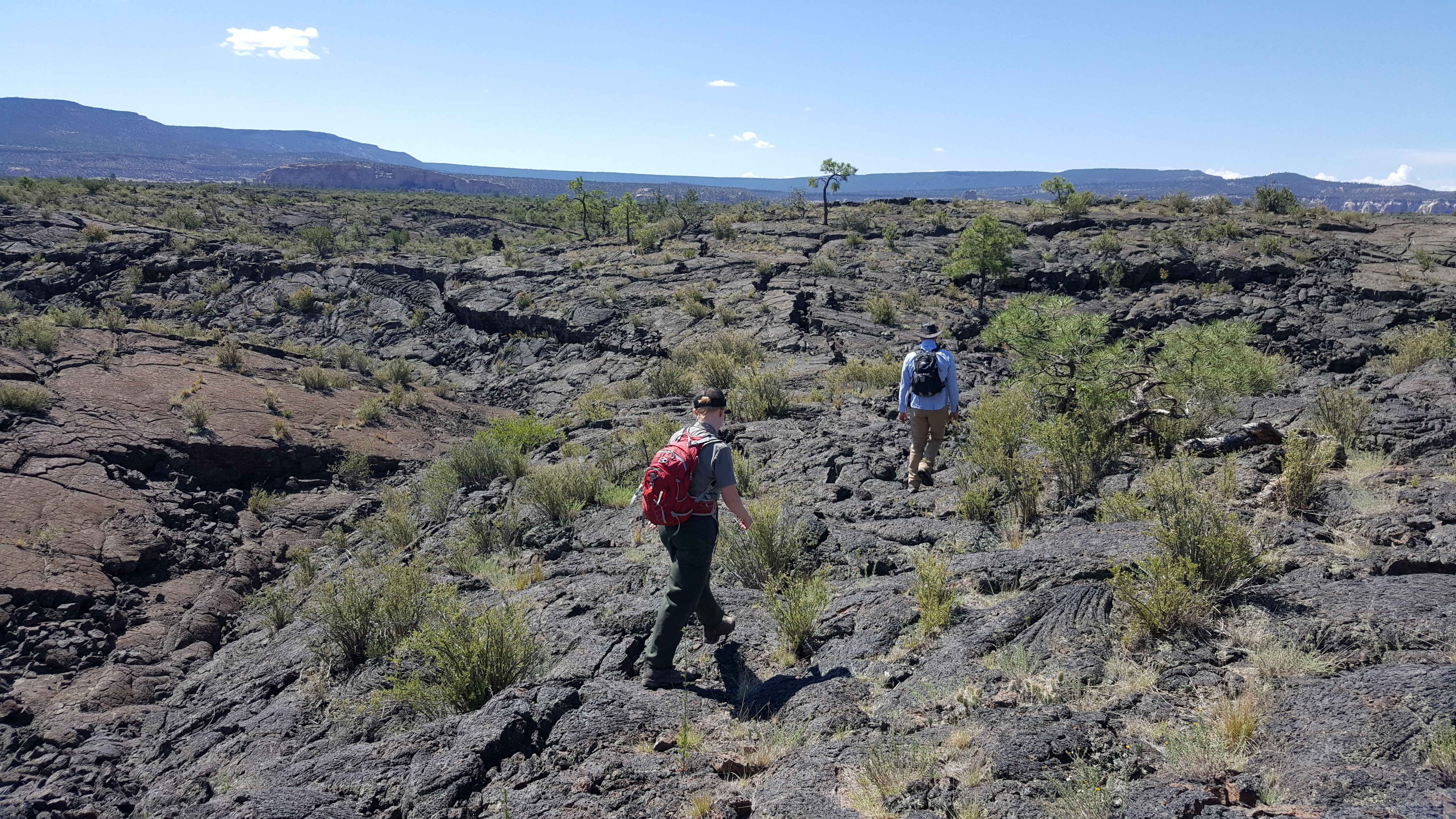
Hike a historic trail across the lava flows of El Malpais. The Zuni-Acoma trail is an ancient trail used by Puebloans, Navajo, Spanish and American explorers, and other travelers to journey between the pueblos of Zuni and Acoma. It is a very strenuous 7.5 mile one-way hike (a car shuttle is recommended) and follows a cairned route most of the way. This classic El Malpais hike is part of the 3,100 mile long Continental Divide National Scenic Trail. You can sample short parts of the Zuni-Acoma trail from either trailhead if you aren’t up for the entire hike. Due to its strenuous nature, this hike best done in the cooler months and is not recommended for pets due to the jagged rock of the lava flow.
The Zuni-Acoma trail is accessible from either Highway 117 or Highway 53 . The Highway 53 Trailhead has vault toilets and picnic tables.
Accessibility This Zuni-Acoma trail crosses several major lava flows. The trail is a route across the lava marked by cairns. The lava surface is very sharp and uneven. In many places, the route crosses deep crevasses that must be stepped across.