El Malpais National Monument · New Mexico

The Narrows

1.5 mi of trail, end to end · Hike the Narrows Rim Trail: 8 mi round trip in the Service's write-up · about 20 ft of climbing · 7,080 ft–7,099 ft · hiking

7,081 ft 7,097 ft · 1.5 mi high 7,099 ft

Hike the Narrows Rim Trail 8 mi round trip · the Park Service's write-up

1-6 Hours · dogs allowed · season <p>Summer thunderstorms, high winds and lightening can make this area dangerous. Winter snows can make this trail icy and hard to find.  </p>

Start Narrows Rim Trail
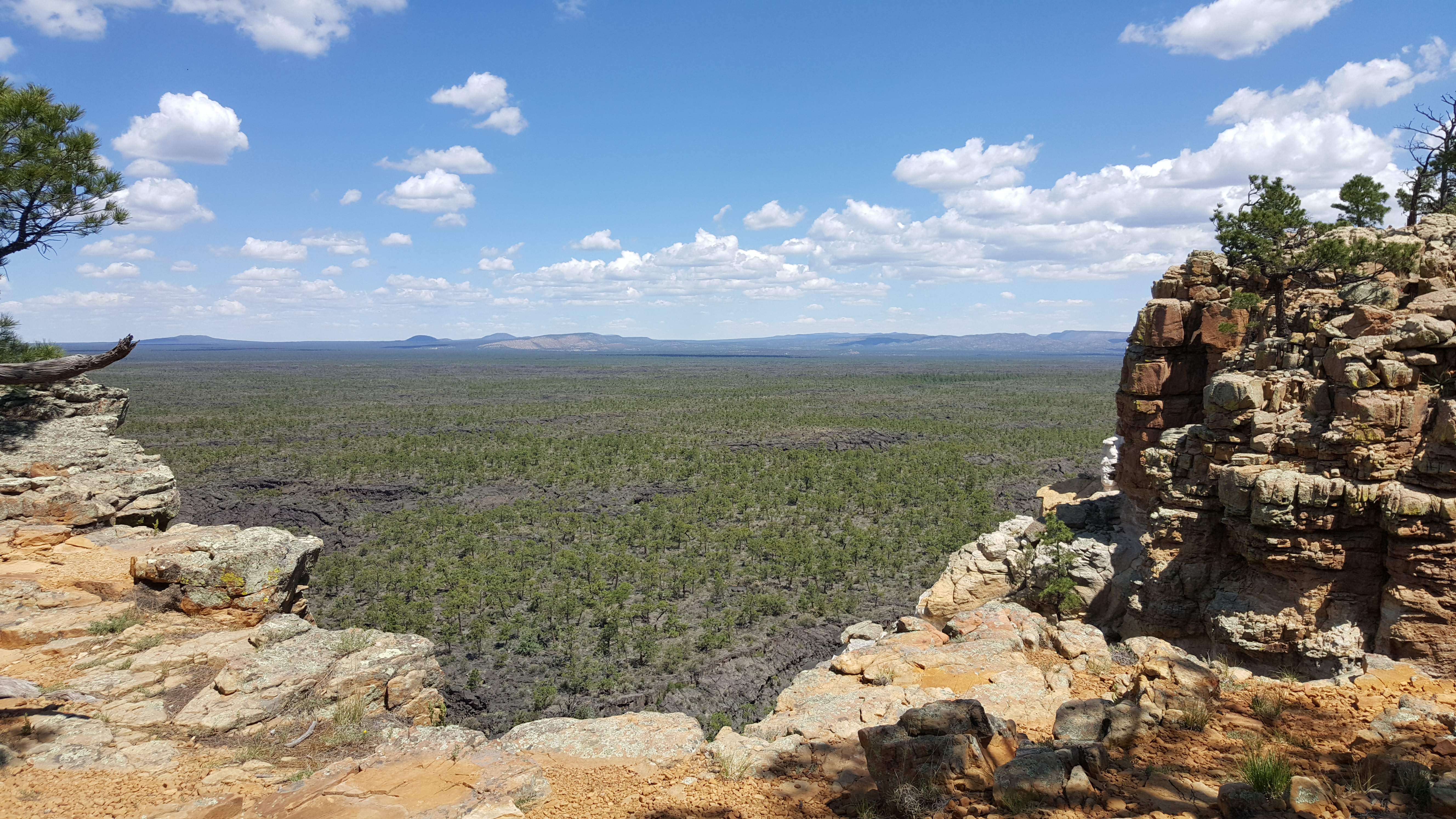
view over a flat, dark landscape dotted with small trees framed by high sandstone outcroppings
Enjoy views of the young volcanic landscape of El Malpais from atop high sandstone cliffs. Photo: NPS Photo

Enjoy spectacular views from this hike along Cretaceous-aged sandstone ramparts high above the young lava landscape of El Malpais National Monument. The expansive scenery of the lava flows and surrounding countryside ends with a distant view of the La Ventana Natural Arch. This moderate hike is 8 miles round trip and is dog friendly. Sweeping panoramic views over the McCartys Lava Flow can be had just a short distance (about 30 minutes or so) up this trail for those not wishing to do the entire hike.

Accessibility This trail is rocky and uneven. The beginning of the trail requires large steps up onto the sandstone bluff. The trail is sometimes difficult to find. Once at the top of the bluff, the trail is mostly flat.

This hike on nps.gov

All 10 trails in El Malpais National MonumentFind a trailOn the parks mapPark on nps.gov

About this trail's facts

The lines are the National Park Service's public trails layer, the trailheads and the waterfalls, views, peaks and historic places along them the Service's public points of interest, read 2026-10-16 and simplified for the map; the length is the line's, end to end. The write-ups are the Service's own "things to do" text, unedited. Heights come from USGS 3DEP through Terrain Tiles on AWS (Mapzen/Tilezen), read along each line and rounded; a short trail on steep ground can be off by a few tens of feet. Closures change: check the park's own site before you go.