
Lava Falls
Trailhead Lava Falls Trailhead 7,124 ft Drive there
Traverse the Lava Falls Trail the Park Service's write-up
1-2 Hours · dogs allowed · season <p>Lava Falls can be visited all year around. Summer thunderstorms can pop up suddenly and winter snows can make route finding on the lava flow very challenging. </p>
Start Lava Falls Trailhead
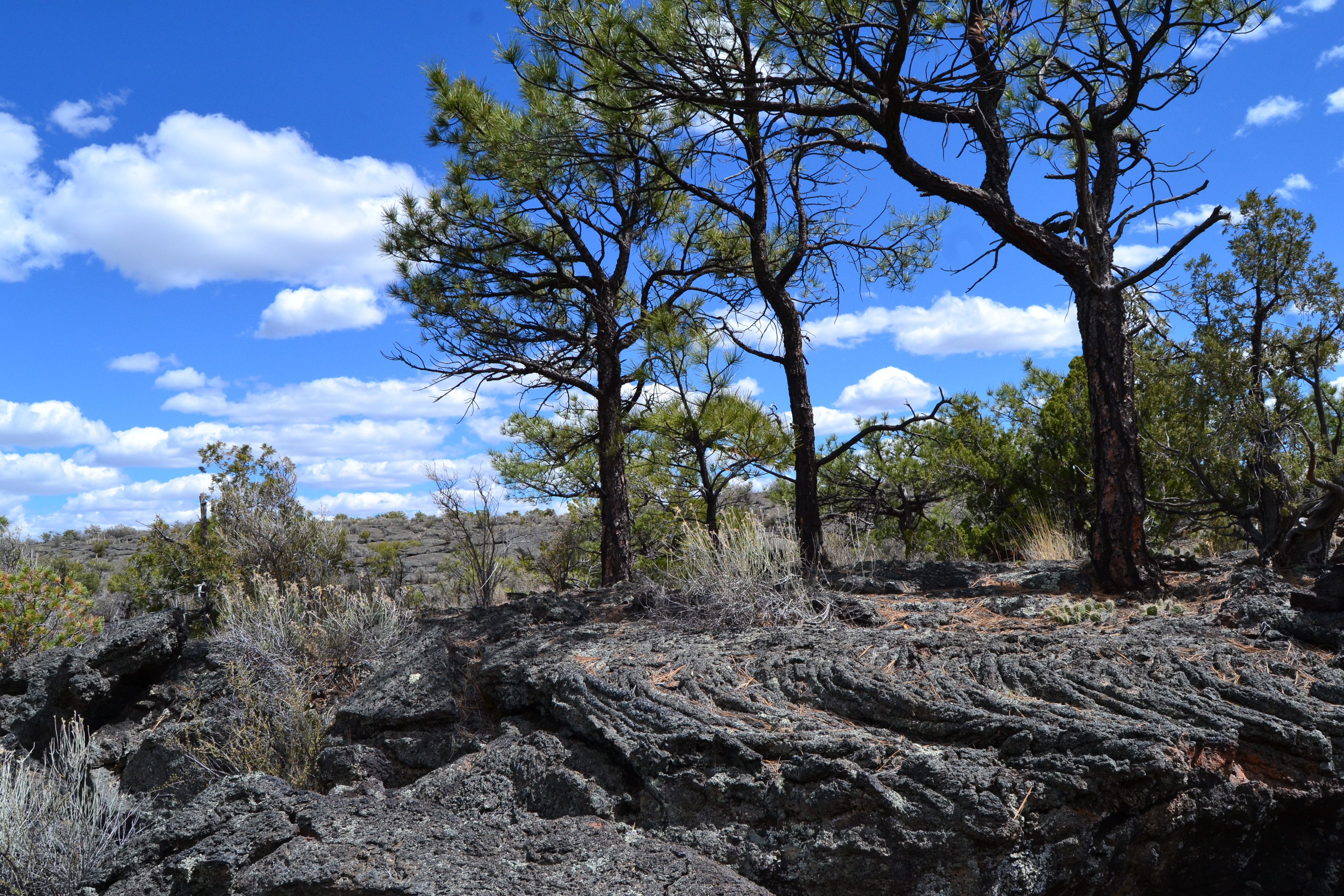
Hike on a lava flow! The Lava Falls Trail offers a unique way to experience the youngest lava flow at El Malpais National Monument. This rugged, one-mile cairned route across the lava passes by numerous volcanic features. Among the features you may encounter is the McCartys Crater-- the source of the lava you are hiking on--visible as a jagged ridge in the middle of the lava field and the Lava Falls Amphitheater. Pressure ridges, squeeze ups and lava toes can also be encountered. Good examples of pāhoehoe lava, which is smooth and ropy, abound on this trail.
This trail is a cairn- marked route, following the rock stacks around the loop. Always make sure you have a cairn in sight when hiking this route. Due to the very rugged nature of hiking on lava, good shoes, appropriate clothing and plenty of water are essential. This hike is best done early or late in the day when it is cooler and is not recommended for pets due to its rugged nature. The lava flow has little shade and is very exposed, so be mindful of weather conditions before you set out.
Accessibility Trailhead signs, brochure box, picnic tables, and vault toilets are easily accessed from the gravel parking lot. The hiking route across the lava is very strenuous, with numerous deep cracks, uneven ground and sharp lava.