
Mountain Vista Trail
Shelters
Along the way Mountain Vista Bus Shelter Viewing Shelter
Trailheads Mountain Vista Trailhead 2,801 ft Drive there · Mountain Vista Trailhead 2,754 ft Drive there
Explore Mountain Vista & Savage River 2 mi round trip · the Park Service's write-up
2-6 Hours · no dogs · Spring, Summer, Fall · season <p>Vehicle access is limited in the fall, winter and spring. Depending on snow conditions, you may be able to drive here as early as April and as late as October. </p> <p>Access is more reliable in summer (May through September). </p> <p>The park is open in winter, but you would need to be ready to ski, hike or otherwise travel under your own power for about 10 miles from Park Headquarters to reach this area.</p> <p> </p>
Start Savage River
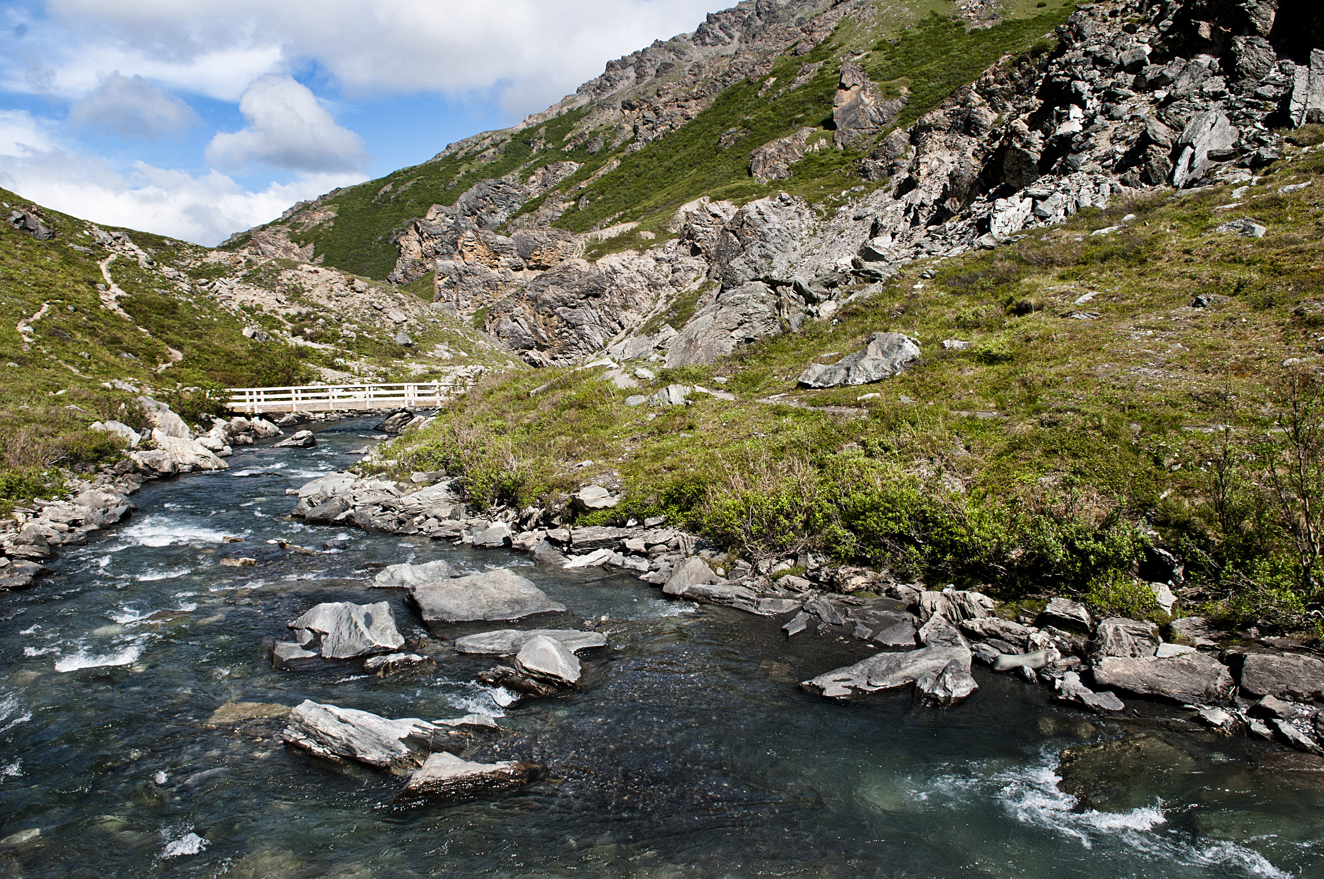
Alaska Native Place Name : Savage River is known as Tr'at'egheth No' in the Lower Tanana dialect, meaning " From Cottonwood Creek ."
Edge of the Wilderness
While most of Denali’s sole road is restricted just to bus traffic, any non-commercial vehicle can drive out to Mountain vista and Savage River in summer, as well as part of the spring and fall.
Located about 15 miles inside the park, the area is scenic, featuring several trails (some short, one long) and a picnic area.
Know Before You Go
You can park at, or ride the free bus to, either the Mountain Vista Rest Stop (Mile 13) or to the Savage Rest Area (Mile 15). Savage River Campground is situated between the two day-use areas. Trails connect the two areas, or you can walk the road.
The Savage River Shuttle can accommodate up to two bikes at a time.
The parking area can get full each day in summer. We recommend using the bus when possible, which you can catch at the Denali Visitor Center (or several other buildings near the park entrance).
This area can be very windy, so bring layers. It is also several hundred feet higher in elevation than the park entrance, so it can be a bit chillier than conditions at the visitor center.
Why Explore Mountain Vista and Savage River?
Scenery
The Denali Park Road is near the tree-line in this area. This means most of the vegetation is short and brushy, which lets you see for long distances. The Alaska Range, to the south, is very prominent and Mount McKinley can be seen on the way to, and from many points around, Savage River.
Wildlife
On occasion, large animals like bears, moose, Dall sheep and caribou can be seen in the area.
Access
You can get here in your own car when the park road is open (roughly May-September, sometimes in April and October). In summer, you can also use a free bus called the Savage River Shuttle to get here.
Things to Do at Savage River
Long hike
The Savage Alpine Trail is a strenuous trail. Start at either the Savage River parking lot or the Mountain Vista parking lot and hike one-way on the trail; in summer, you can then use a free bus called the Savage River Shuttle to travel back to your car (or back to the park entrance, if you came to the area originally via shuttle). You may also hike off-trail in this area, as long as you do not see any temporary signs indicating a wildlife closure has been instituted for any reason. Learn more about hiking in Denali .
Short hike
The Savage River Loop Trail is about 2 miles round-trip. It meanders alongside Savage River for about a mile, crosses the river on a small bridge, and winds back to the parking area.
Picnic
Picnic tables are available. Please be cautious about your food; mew gulls and squirrels in this area can be very persistent at trying to steal food. Do not allow wildlife to obtain food from you!
Leaf-peeping
In August, this landscape typically erupts into a vivid sea of red foliage, as dwarf birch is prevalent. The exact peak of fall colors is variable, but typically the second or third week of August is the high point.
Cross-country ski
The road is impassable to this point for most of the early and mid-winter, but we begin plowing the park road in March. Once vehicle access is possible, in late winter and spring, this is a popular area for skiing.
Accessibility The free Savage River Shuttle is wheelchair-accessible. Restrooms at Mountain Vista Rest Area and the Savage River Rest Area are wheelchair accessible. Savage River Loop Trail For the first quarter-mile, the Savage River Loop Trail is surfaced with compacted gravel and is 48” wide, with negligible elevation change; after that, the trail grows very narrow ( Savage Alpine Trail This long trail is fairly narrow (