
Horseshoe Lake Trail
Trailhead Horseshoe Lake Trailhead 1,771 ft Drive there
Early Morning Hike to Horseshoe Lake 1 mi round trip · the Park Service's write-up
2-3 Hours · no dogs · Spring, Summer, Fall
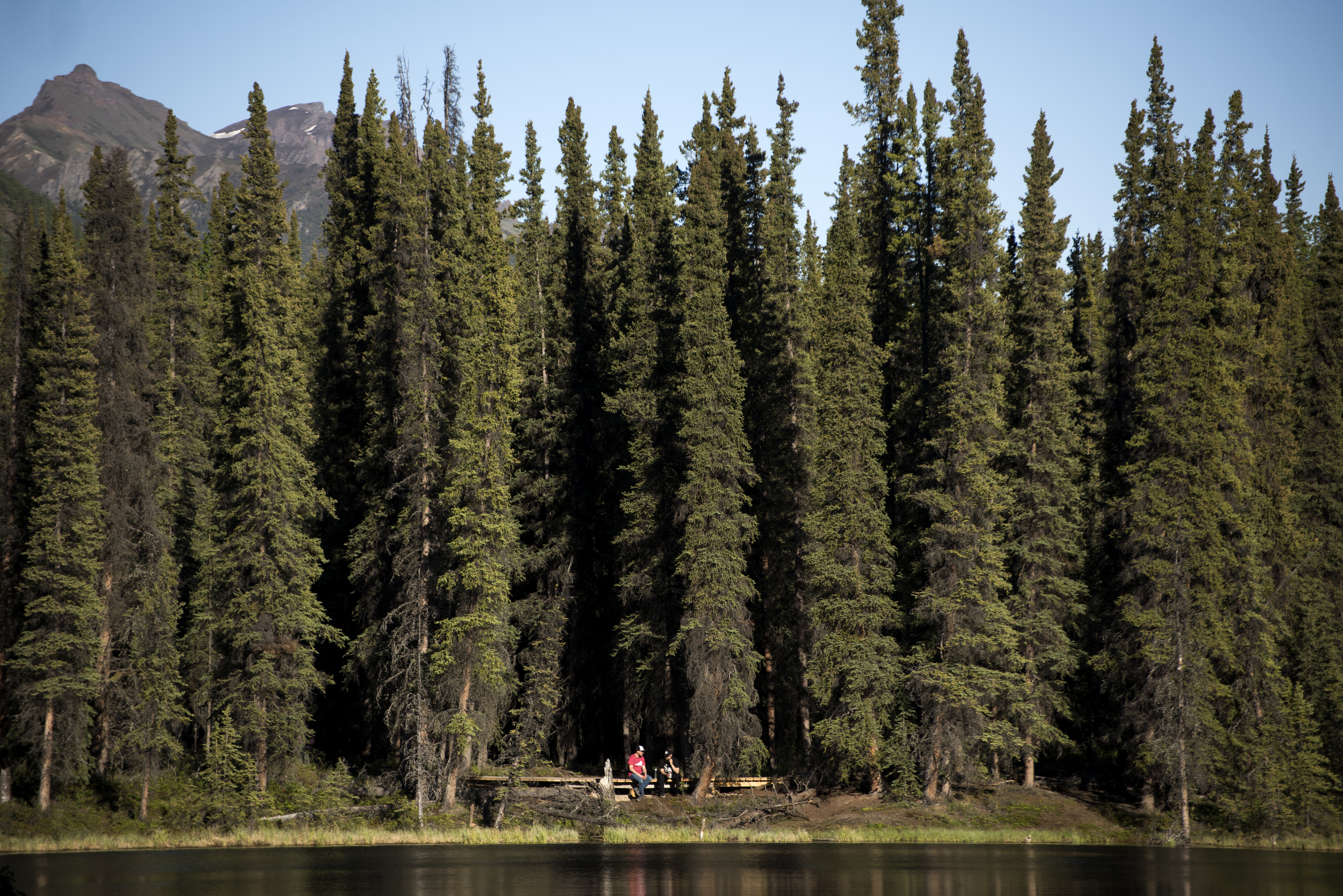
Horseshoe Lake Trail starts high above its namesake lake. A bench offers a nice overlook of the lake, and affords a resting spot for hikers who do not wish to descend (and then ascend!) a steep hill.
Description
This is one of the most popular trails in Denali, but it is not usually busy early in the morning. If you start hiking by 7 am, you are likely to encounter few fellow-hikers. This also ensures you will be back at the visitor center well before noon, which is a common departure time for people leaving Denali by train or bus.
Horseshoe Lake is one of the best places to look for wildlife in the entrance area of Denali. Though wildlife sightings are never guaranteed, an early morning hike to Horseshoe Lake is one of your best bets for seeing a variety of animals, such as beavers, waterfowl and moose.
Benches overlook the lake from high above, after which the trail descends steeply to the lake. Hikers who travel downhill will find the trail winding its way around the lake, making a large loop. Several observation platforms sit along the lake, letting you keep an eye out for wildlife. The trail also gets very close to a beaver dam (please be sure not to walk off trail and onto the dam!).
Hiking the entire trail without any stops will take around 2 hours, but you may find it rewarding to spend more time in the area, enjoying the tranquility of the lake and hoping to spot some wildlife.
Access
There are several ways to reach this trail.
From the Denali Visitor Center
The most direct route is to hike the Bike Path in the direction of the Denali Bus Depot. At the railroad tracks, cross the park road and continue along the Horseshoe Lake Trail.
A longer route is to hike the Taiga Trail until it meets the Horseshoe Lake Trail. This route adds roughly 1 mile round-trip (or just half a mile if you plan to only hike the Taiga trail on the way to or from the lake, instead of in both directions).
From the Denali Bus Depot
Hike the Bike Path in the direction of the Denali Visitor Center. At the railroad tracks, cross the park road and continue along the Horseshoe Lake Trail.
From the park road / Alaska Railroad junction
A small parking lot is at the junction of the park road and the train tracks. You can park there or be dropped off by your hotel.
Wildlife Safety
Any time you're in Denali, you might encounter bears, wolves, or moose. Know how to behave around wildlife to keep yourself and wild animals safe!
Pets Pets are prohibited on most park trails.
Accessibility Quick Details Distance (round-trip from the Denali Visitor Center): 2.2 miles Duration (round-trip): Around 2 hours Elevation change: 250 feet gain, mainly in one long hill. Max grade: 20% Trail width: 5' Surface: A mix of well-compacted gravel, loose gravel and areas of exposed roots and other impediments. Though pets are prohibited on this trail, service animals are able to accompany visitors.