Curecanti National Recreation Area · Colorado

Ponderosa Trail

0.4 mi of trail, end to end · Hike Dillon Pinnacles: 1.9 mi one way in the Service's write-up · 7,533 ft–7,543 ft · hiking

Campgrounds

7,538 ft 7,542 ft · 0.3 mi high 7,542 ft

Along the way Ponderosa Campground

Hike Dillon Pinnacles 1.9 mi one way · the Park Service's write-up

2-3 Hours · dogs allowed

Start Dillon Pinnacles Trail
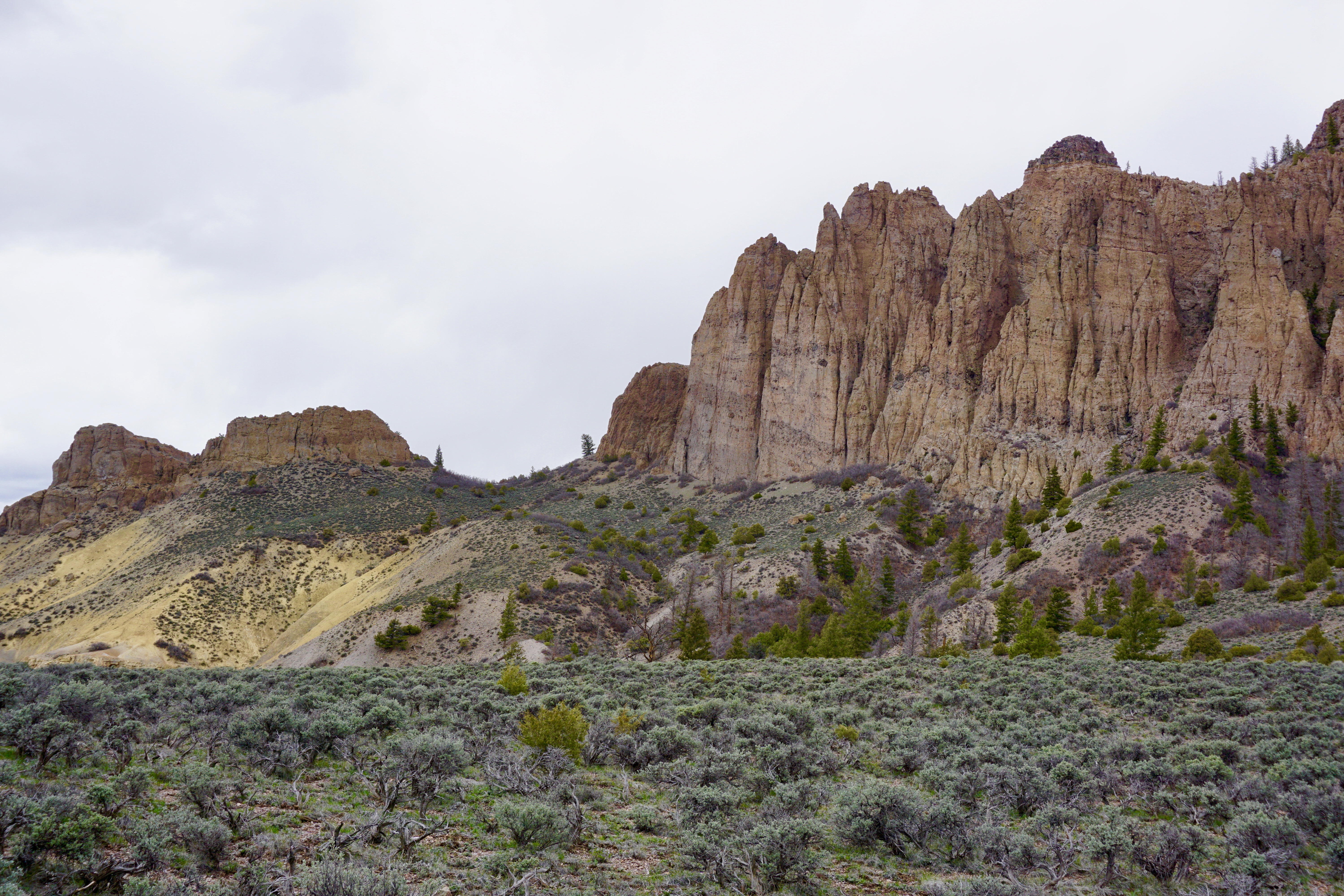
Tall rock spires in front of scrub land
Dillon Pinnacles Photo: NPS Photo

Ascending through sagebrush, ponderosa pine and riparian habitats, this trail offers spectacular views of Blue Mesa Reservoir, the distant San Juan Mountain peaks, and the eroded volcanic Dillon Pinnacles. Along the trail are a few shady places to rest and open sunny vistas with possible glimpses of bighorn sheep.

Horses are permitted. Good shoes or boots are recommended. Carry at least 2 quarts of water per person.

Length: 1.9 miles (3.2 km) one way

Difficulty: Moderately strenuous

Accessibility This trail is not accessible due to steep grades and uneven terrain.

This hike on nps.gov

All 19 trails in Curecanti National Recreation AreaFind a trailOn the parks mapPark on nps.gov

About this trail's facts

The lines are the National Park Service's public trails layer, the trailheads and the waterfalls, views, peaks and historic places along them the Service's public points of interest, read 2026-10-16 and simplified for the map; the length is the line's, end to end. The write-ups are the Service's own "things to do" text, unedited. Heights come from USGS 3DEP through Terrain Tiles on AWS (Mapzen/Tilezen), read along each line and rounded; a short trail on steep ground can be off by a few tens of feet. Closures change: check the park's own site before you go.