Curecanti National Recreation Area · Colorado

Neversink Trail

0.6 mi of trail, end to end · about 10 ft of climbing · 7,545 ft–7,557 ft · trail class Developed · hiking

Picnic areas

7,545 ft 7,557 ft · 0.6 mi high 7,557 ft

Along the way Neversink Picnic Area

Trailhead Neversink Trail 7,545 ft Drive there

Hike Neversink Trail the Park Service's write-up

30-60 Minutes · dogs allowed

Start Neversink Trailhead
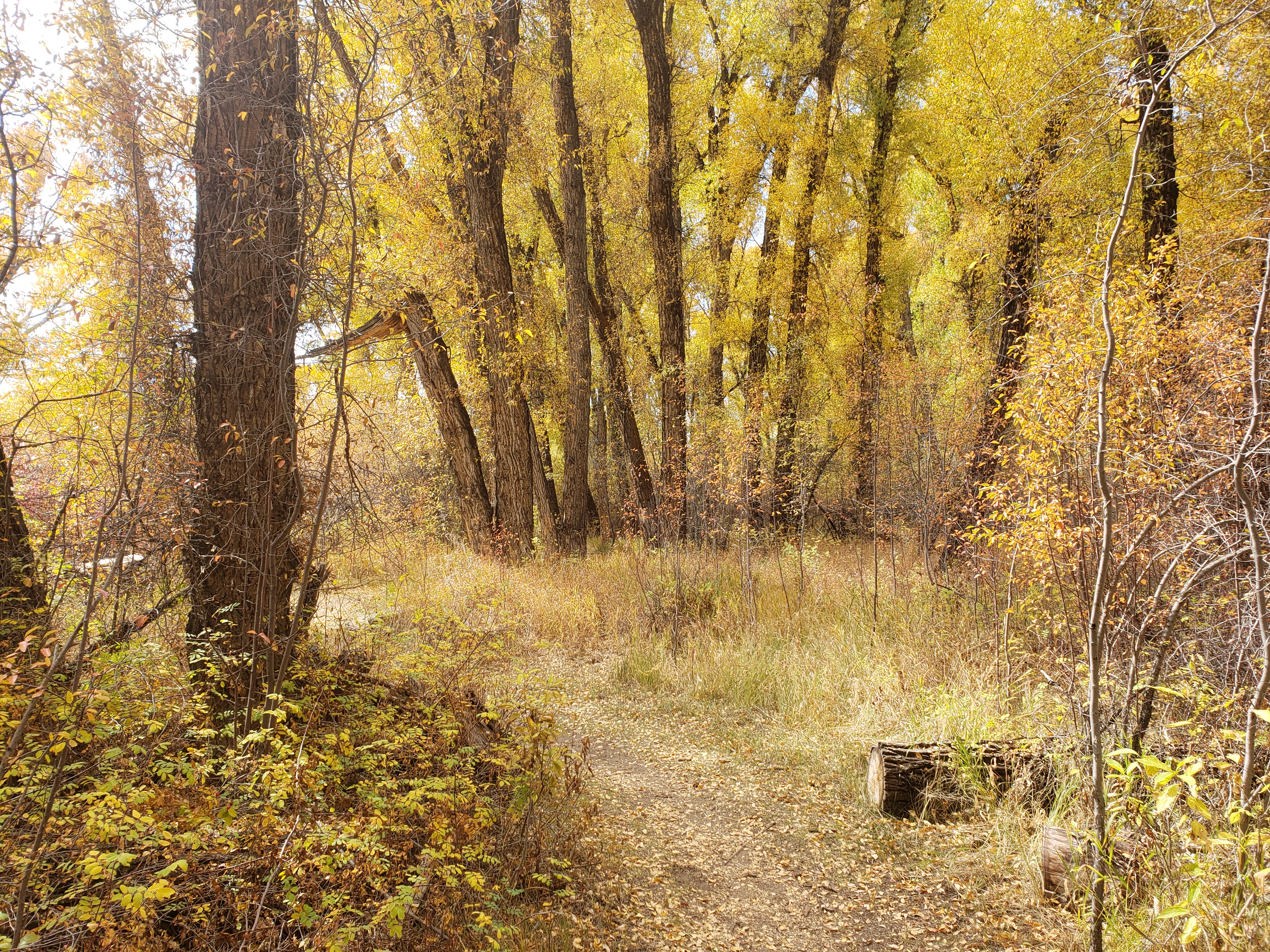
A trail in autumn with yellow leaves and a path between trees
Neversink Trail meanders under trees Photo: NPS/L. Stoorza

The Neversink Trail is located nearest to Gunnison on the north bank of the Gunnison River near a Great Blue Heron rookery. This streamside habitat with its heavy undergrowth of grasses, flowers, cottonwoods, and willows, is ideal for birdwatching or just a quiet stroll.

Trail can become muddy after heavy precipitation or flooding.

Distance (one-way): .5 mi (.9 km)

Difficulty: Easy

Accessibility This trail is flat and provides easy walking. The beginning of the trail is wheelchair accessible.

This hike on nps.gov

All 19 trails in Curecanti National Recreation AreaFind a trailOn the parks mapPark on nps.gov

About this trail's facts

The lines are the National Park Service's public trails layer, the trailheads and the waterfalls, views, peaks and historic places along them the Service's public points of interest, read 2026-10-16 and simplified for the map; the length is the line's, end to end. The write-ups are the Service's own "things to do" text, unedited. Heights come from USGS 3DEP through Terrain Tiles on AWS (Mapzen/Tilezen), read along each line and rounded; a short trail on steep ground can be off by a few tens of feet. Closures change: check the park's own site before you go.