Curecanti National Recreation Area · Colorado

Curecanti Creek Trail

2.0 mi of trail, end to end · about 70 ft of climbing · 800 ft of descent · 7,284 ft–8,028 ft · trail class Developed · hiking

ViewsPicnic areas

8,016 ft 7,284 ft · 1.6 mi high 8,028 ft

Along the way Pioneer Point Picnic Area Curecanti Creek Trail Overlook Curecanti Needle Overlook West Elk Mt. Overlook

Trailhead Curecanti Creek Trail 8,018 ft Drive there

Hike Curecanti Creek Trail the Park Service's write-up

2-3 Hours · dogs allowed · Spring, Summer, Fall

Start Pioneer Point
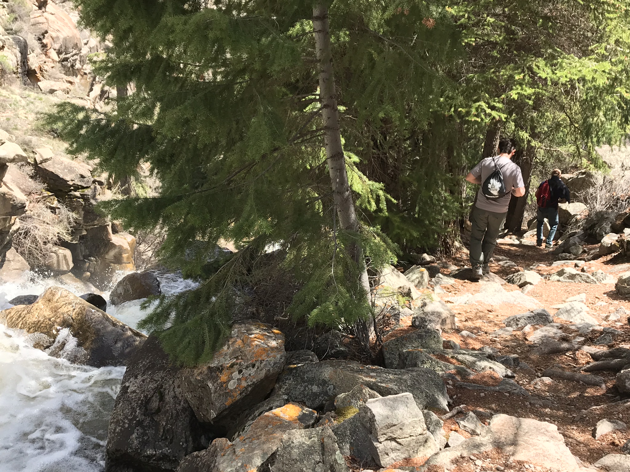
Curecanti Creek hiking trail
Hikers pass by crystal cascades in the spruce and fir forest Photo: NPS/Matt Johnson

After descending from the high rim of the Upper Black Canyon of the Gunnison, the trail follows Curecanti Creek as it descends toward Morrow Point Reservoir. The Curecanti Needle, a 700 ft (213 m) granite spire, towers above at the trail's end.

The first half of the trail begins in the sun on a southwest facing slope and the second half is partially shaded by fir and spruce trees. Good shoes or boots are recommended. Carry at least 2 quarts of water per person.

Distance (one-way): 2 mi (3.2 km)

Difficulty: Strenuous

Accessibility Curecanti Creek Trail has steep grades with uneven terrain. It is not wheelchair accessible.

This hike on nps.gov

All 19 trails in Curecanti National Recreation AreaFind a trailOn the parks mapPark on nps.gov

About this trail's facts

The lines are the National Park Service's public trails layer, the trailheads and the waterfalls, views, peaks and historic places along them the Service's public points of interest, read 2026-10-16 and simplified for the map; the length is the line's, end to end. The write-ups are the Service's own "things to do" text, unedited. Heights come from USGS 3DEP through Terrain Tiles on AWS (Mapzen/Tilezen), read along each line and rounded; a short trail on steep ground can be off by a few tens of feet. Closures change: check the park's own site before you go.