
Passenger Ferry
Visitor centers
Along the way Mainland Visitor Center
Hike the River Trail the Park Service's write-up
20-30 Minutes · no dogs · entrance fee applies
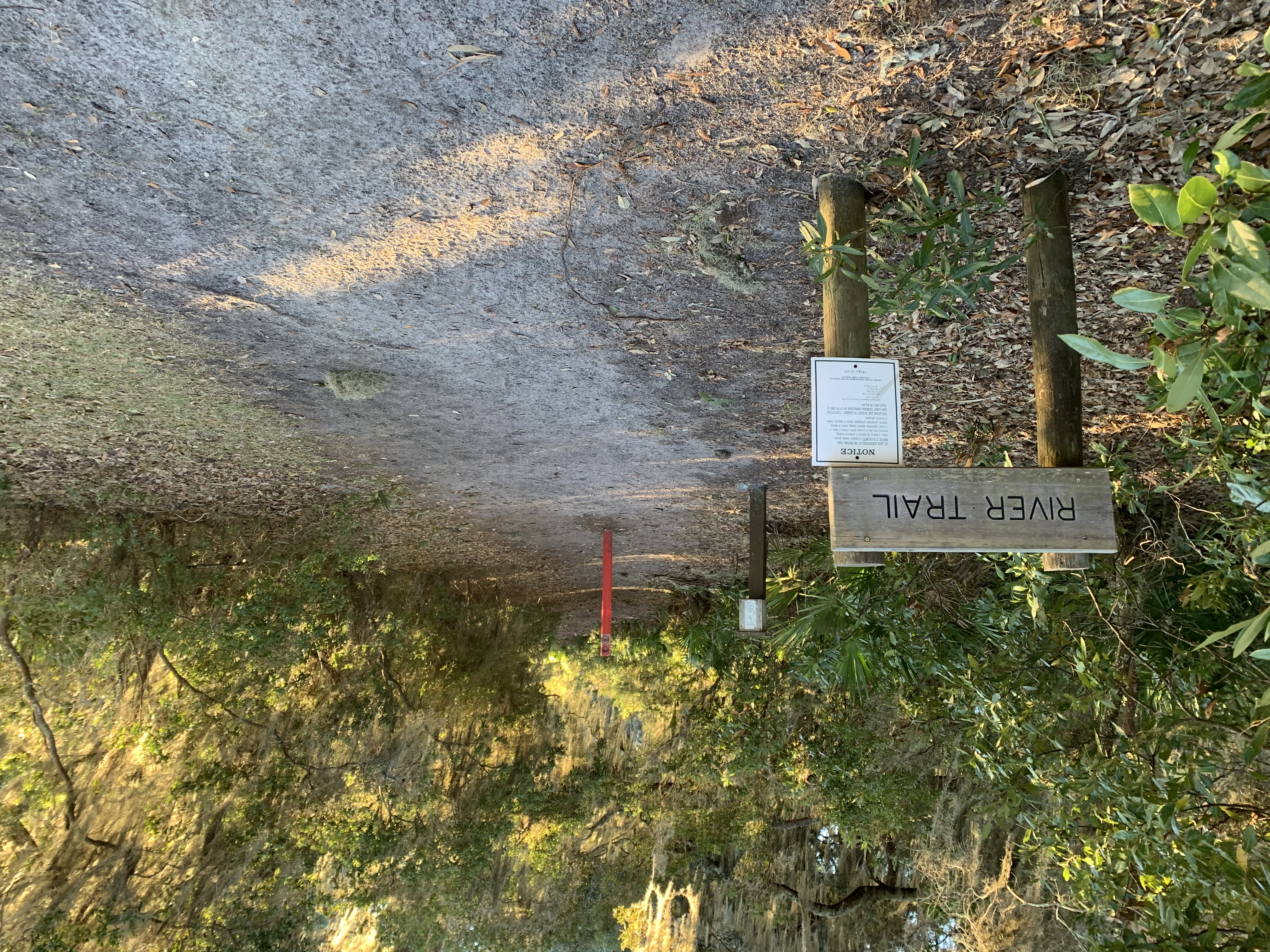
The River Trail is 0.8 miles long and runs directly north to south connecting the Sea Camp and Dungeness Docks. Use this trail to avoid vehicle traffic along the main road. The ends of the trail parallel the Intracoastal Waterway and offers several viewpoints of the river and marshlands. The middle portion of the trail turns inland and winds through the maritime forest. This trail is a great place for birding, with a combination of forest and river habitats creating the opportunity to view a variety of birds, ranging from bald eagles to warblers. The trail is also used by much of the island’s wildlife including deer, turkeys, and horses. There are several benches along the trial to rest and enjoy the natural surroundings. Bikes are not allowed on any of Cumberland’s trails.
Pets Pets are not allowed on the ferry, but are allowed on private boats. They must be leashed at all times. Please pick up after your pet and pack out the waste.
Accessibility The River trail is a sand trail with a relatively hard packed surface. There are several sections of soft sand that can grow during dry conditions. There is little elevation change along the trail and some sections of exposed roots. It is wide enough to accomodate a beach wheelchair. Bikes are not allowed.