
National Seashore · Georgia
Trails in Cumberland Island National Seashore
40 named trails · 49 miles · 2 with the Park Service's own write-up. The lines, trailheads and points are the Park Service's; the write-ups are the Service's own words; the climbing is read from USGS elevation along each line.
40 trails, A to Z.
Beach Creek Dune Crossing
Beach Creek Trail
Brickhill Trail
Backcountry camps
Along the way Brickhill Bluff
Bunkley Trail
Burbank Trail
Duck House Trail
Backcountry camps
Along the way Yankee Paradise
Dungeness Beach Crossing
Inter-Dune Boardwalk
Killman Field Trail
Kings Bottom Trail
Lost Road Trail
Marsh Boardwalk
Views
Along the way Scenic Overlook
Nightingale Trail
Hike the Nightingale Trail the Park Service's write-up
20-30 Minutes · no dogs · entrance fee applies
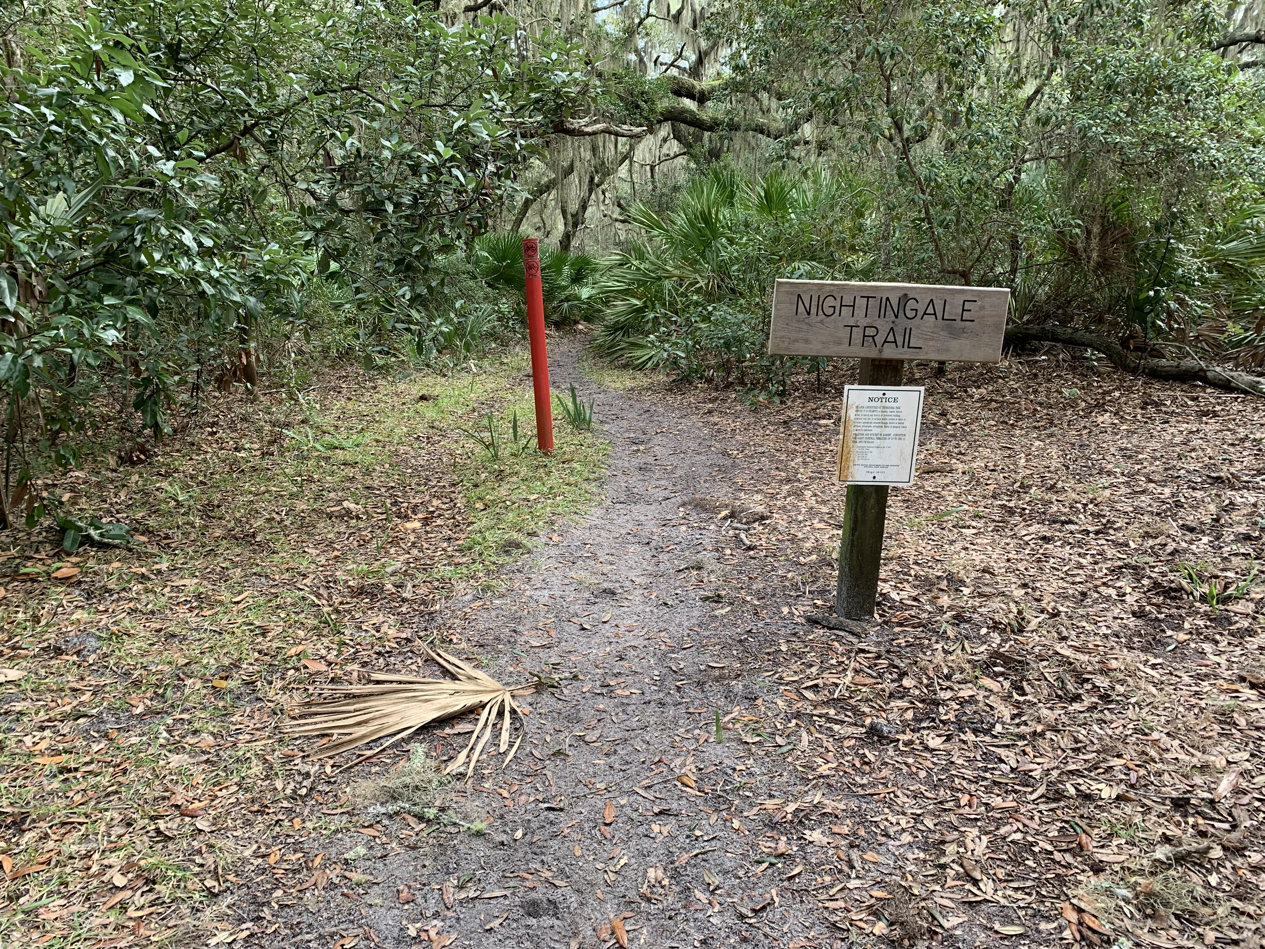
The Nightingale Trail is a U-shaped trail that traverses the middle of the maritime forest. The trail is 0.8 miles long with trail heads along the Main Road and Coleman Avenue (near the Dungeness support area). The trail is entirely in the maritime forest and does not access the beach. For day trippers and south end explorers, the trial is a great way to experience the grandeur and solitude of the forest without heading into the wilderness area. The trail is lined with dense saw palmettos and the canopy consists of large mature live oak trees, dripping with muscadine vines and spanish moss. One may encounter a variety of wildlife along the trail including pileated woodpeckers, whitetail deer, and armadillos.
If starting from the main road, the trail goes east for 0.3 miles, south for 0.1 miles and southwest for the remaining 0.4 miles. If starting from Coleman Avenue, the trail goes northeast for 0.1 miles, north for 0.1 miles and west for the remaining 0.4 miles.
Pets Pets are not allowed on the ferry, but are allowed on private boats. They must be leashed at all times. Please pick up after your pet and pack out the waste.
Accessibility The trail has a well packed, sandy foot bed. During prologed dry periods, several sections of soft sand can develop. There is little to no elevation gain/loss. The trail is wide enough for a beach wheelchair. Bikes are not allowed on any of Cumberland's trails.
Old River Trail
Oyster Pond Trail
Parallel Trail
Passenger Ferry
Visitor centers
Along the way Mainland Visitor Center
Hike the River Trail the Park Service's write-up
20-30 Minutes · no dogs · entrance fee applies
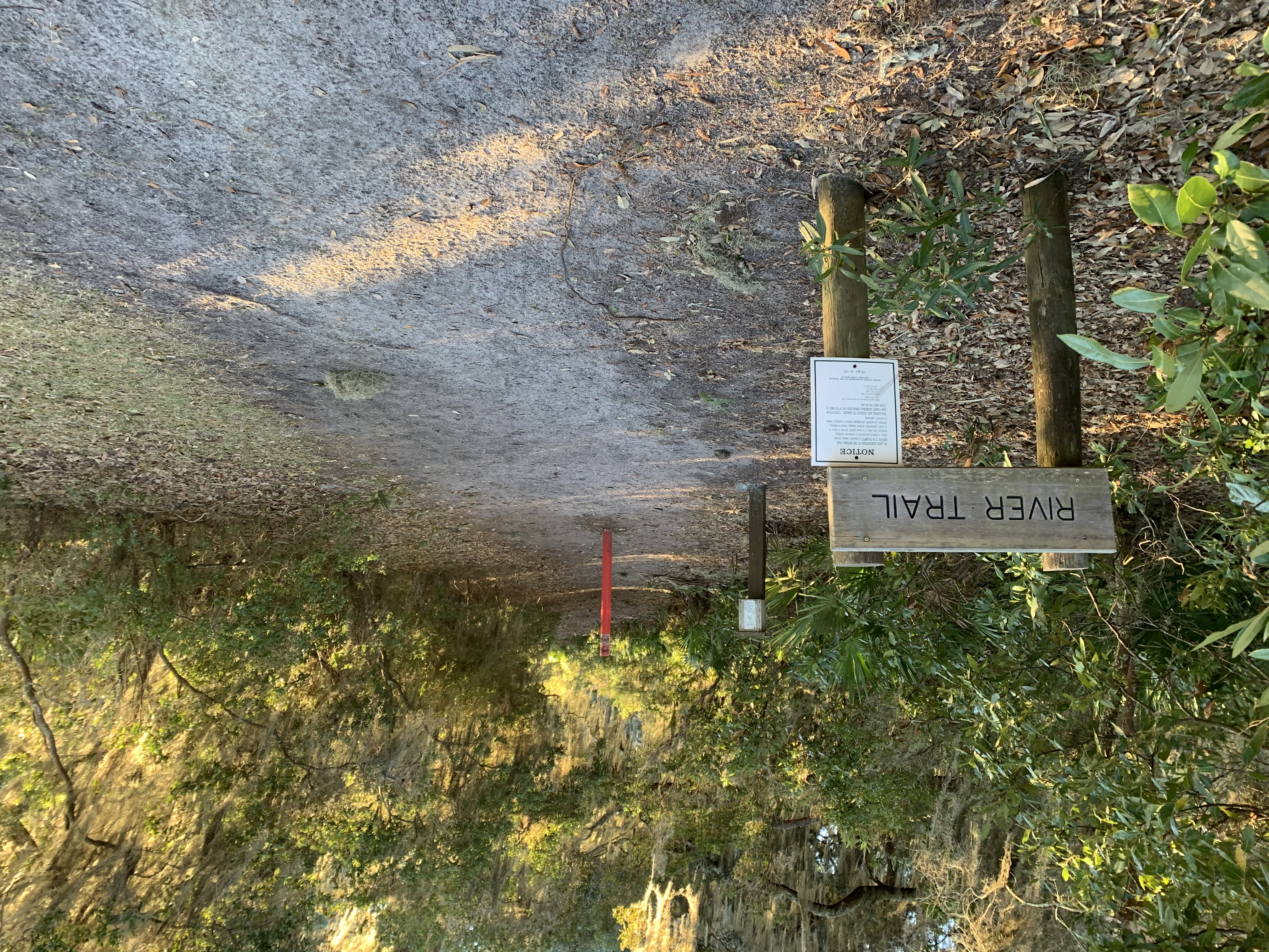
The River Trail is 0.8 miles long and runs directly north to south connecting the Sea Camp and Dungeness Docks. Use this trail to avoid vehicle traffic along the main road. The ends of the trail parallel the Intracoastal Waterway and offers several viewpoints of the river and marshlands. The middle portion of the trail turns inland and winds through the maritime forest. This trail is a great place for birding, with a combination of forest and river habitats creating the opportunity to view a variety of birds, ranging from bald eagles to warblers. The trail is also used by much of the island’s wildlife including deer, turkeys, and horses. There are several benches along the trial to rest and enjoy the natural surroundings. Bikes are not allowed on any of Cumberland’s trails.
Pets Pets are not allowed on the ferry, but are allowed on private boats. They must be leashed at all times. Please pick up after your pet and pack out the waste.
Accessibility The River trail is a sand trail with a relatively hard packed surface. There are several sections of soft sand that can grow during dry conditions. There is little elevation change along the trail and some sections of exposed roots. It is wide enough to accomodate a beach wheelchair. Bikes are not allowed.
Pratts Trail
Backcountry camps
Along the way Stafford Beach
Ranger Station Trail
Rayfield Trail
River Trail
Visitor centers
Along the way Sea Camp Ranger Station
Roller Coaster Trail
Sea Camp Group Camp
Sea Camp Group Trail
Sea Camp Loop Trail
Campgrounds
Along the way Sea Camp Beach
Seacamp Boardwalk
Short Cut To Rct
Short Cut To Rct-n
Short Cut To Rct-s
South Cut Trail
South Point Trail
Stafford Beach Trail
Backcountry camps
Along the way Stafford Beach
Stafford Cemetery Trail
History
Along the way Stafford Cemetery
Table Point Trail
Tar Kiln Trail
Terrapin Point Trail
Whitney Lake Trail
Willow Pond Trail
Yankee Paradise Trail
More hikes the Park Service describes
Write-ups that name no single mapped trail, in the Service's words.
- Hike the Southend Loop · 3-5 Hours · no dogs
Take a 4.5 miles hike through the forest, over the marsh and along the beach. Take some time to explore the Dungeness historic district, wildlife and history is everywhere! This Is a great 3-4 hour day hike for first time visitors that provides a taste of the island’s diversity. - Hike to Dungeness · 1-2 Hours · no dogs
Take a hike to the southern most historical district to see the ruins of a Carnegie mansion, learn about what it took to upkeep the estate, check out wildlife and enjoy the view of the salt marsh. This short hike can be enjoyed in just 2 hours. - Hike to Little Greyfield · 2-4 Hours · no dogs
Take a secluded hike through the maritime forest and along the beach. This hike will take you through saw palmetto, wax myrtle and under the canopy of sprawling live oak trees. The trail will intersect with the Little Greyfield beach crossing about two miles in. Take this crossing through the dunes to a particularly isolated portion of the beach. Turn right and keep the ocean to your left to return to Sea Camp. You can also take this loop the opposite way. - Hike to Sea Camp Beach · 20-30 Minutes · no dogs
With 17 miles of undeveloped beach, it is easy to find your own personal space on Cumberland’s beach. The wide-open space of the beach provides a striking contrast to the dense, tangled maritime forest. When you step out of the forest in the dunes, you feel like you are entering a whole new world. Whether you are looking for seashells, shorebirds or a tan, the beach on Cumberland will not disappoint.
About these trails
The lines are the National Park Service's public trails layer, the trailheads and the waterfalls, views, peaks and historic places along them the Service's public points of interest, read 2026-10-14 and simplified for the map. The write-ups are the Service's own "things to do", unedited. Heights come from USGS 3DEP through Terrain Tiles on AWS (Mapzen/Tilezen), read along each line and rounded; a short trail on steep ground can be off by a few tens of feet. Closures change: check the park's own site before you go.