
Nightingale Trail
Hike the Nightingale Trail the Park Service's write-up
20-30 Minutes · no dogs · entrance fee applies
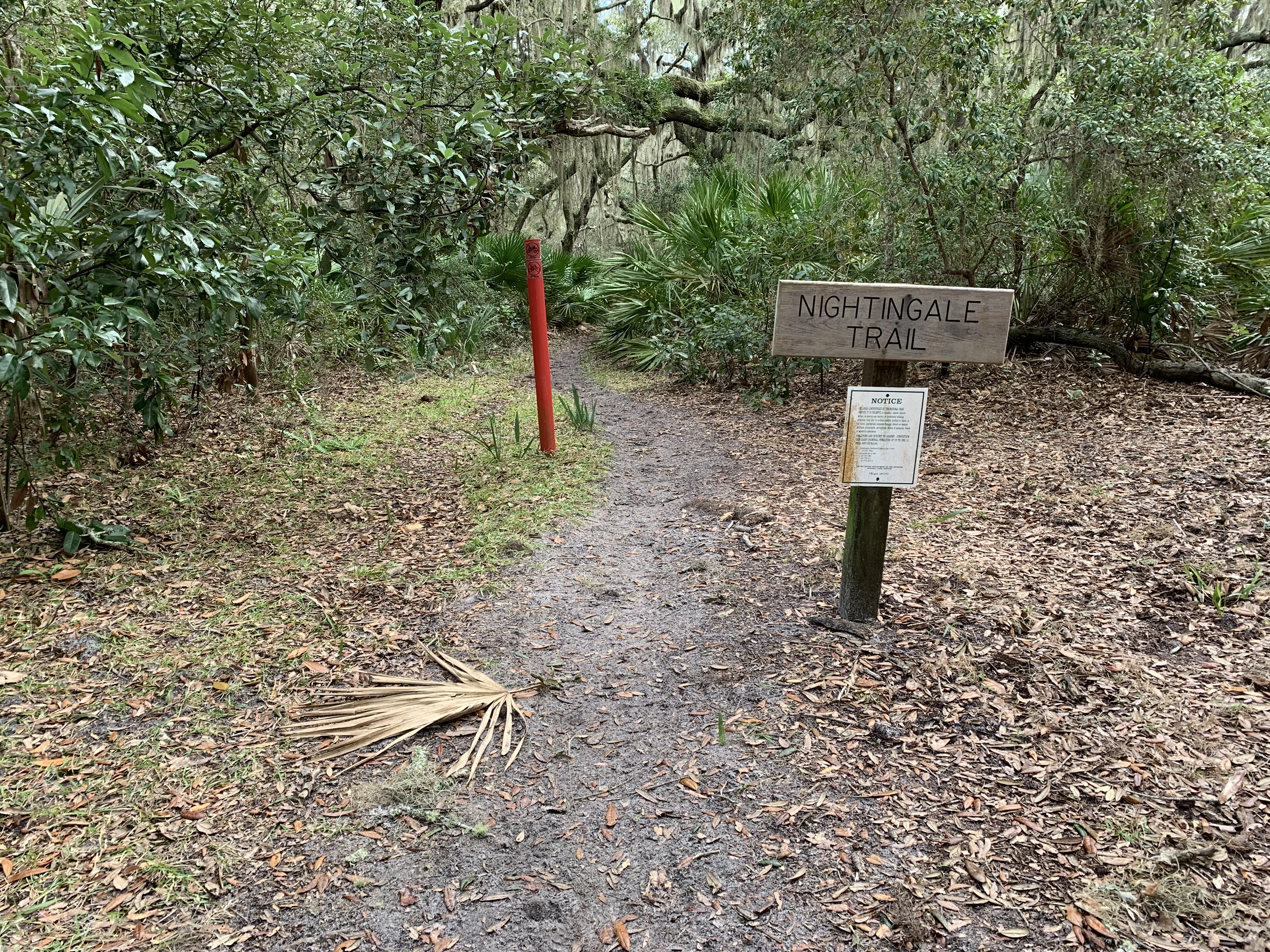
The Nightingale Trail is a U-shaped trail that traverses the middle of the maritime forest. The trail is 0.8 miles long with trail heads along the Main Road and Coleman Avenue (near the Dungeness support area). The trail is entirely in the maritime forest and does not access the beach. For day trippers and south end explorers, the trial is a great way to experience the grandeur and solitude of the forest without heading into the wilderness area. The trail is lined with dense saw palmettos and the canopy consists of large mature live oak trees, dripping with muscadine vines and spanish moss. One may encounter a variety of wildlife along the trail including pileated woodpeckers, whitetail deer, and armadillos.
If starting from the main road, the trail goes east for 0.3 miles, south for 0.1 miles and southwest for the remaining 0.4 miles. If starting from Coleman Avenue, the trail goes northeast for 0.1 miles, north for 0.1 miles and west for the remaining 0.4 miles.
Pets Pets are not allowed on the ferry, but are allowed on private boats. They must be leashed at all times. Please pick up after your pet and pack out the waste.
Accessibility The trail has a well packed, sandy foot bed. During prologed dry periods, several sections of soft sand can develop. There is little to no elevation gain/loss. The trail is wide enough for a beach wheelchair. Bikes are not allowed on any of Cumberland's trails.