
Wilderness Trail
Hike the Tree Molds Trail 2 mi round trip · the Park Service's write-up
60-90 Minutes · no dogs · Spring, Summer, Fall
Start Tree Molds Trailhead
Length: 2 mi (3.2 km) round-trip
Elevation gain: 108 ft (33 m)
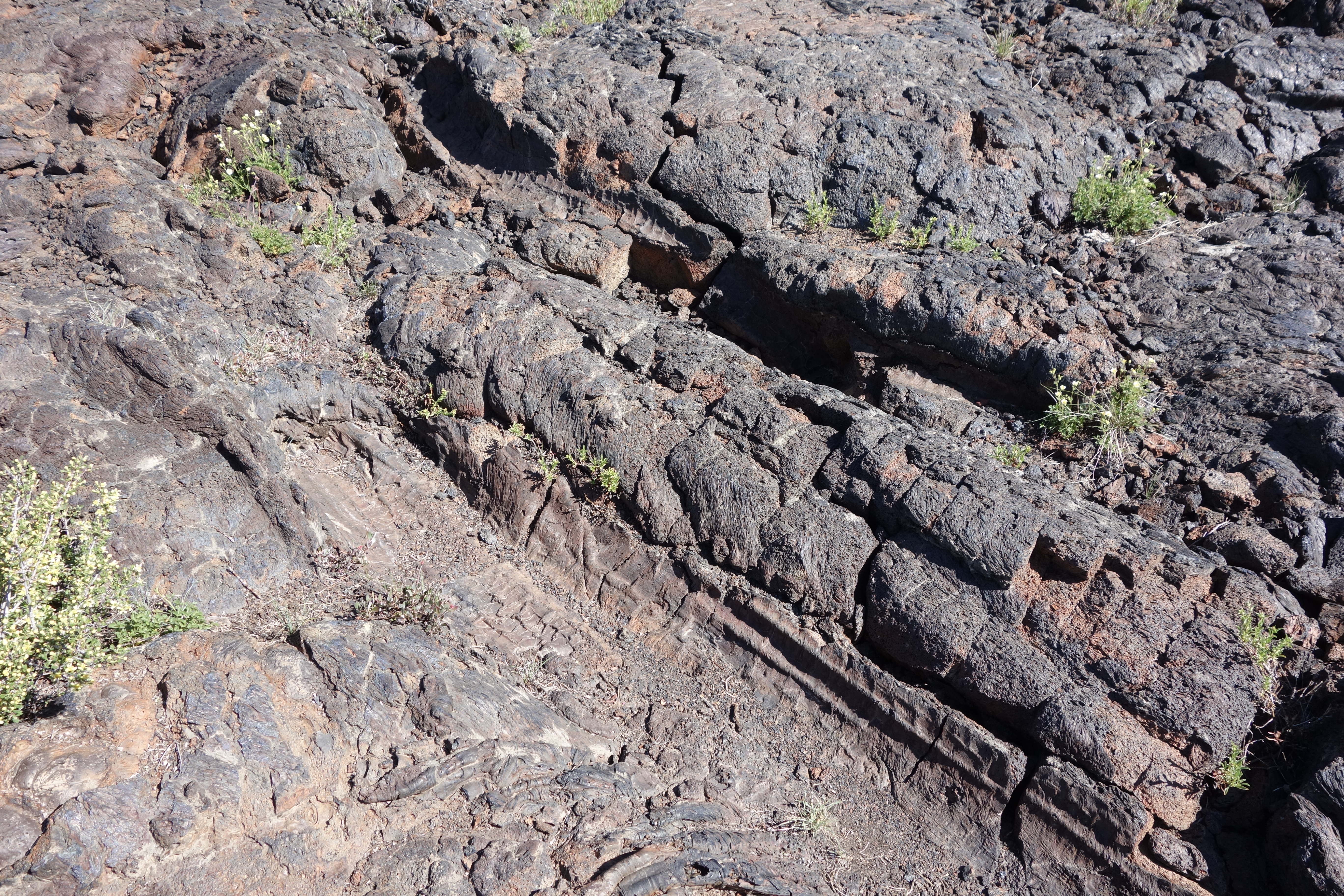
This trail winds through shrubs and stands of limber pine within the Craters of the Moon Wilderness before reaching the edge of the Blue Dragon Flow. While still molten, this lava flow knocked down and ignited trees. The charred tree trunks left impressions in the lava rock. In other places, the trees remained standing as the lava encased them, leaving vertical molds in the cooling lava.
The tree molds can be seen at the end of the trail, one mile from the trailhead.
Pets Pets are not allowed on any trails or in caves. Lava rocks are rough and jagged. The surface of the dark rocks can reach 150°F (65°C) or more in the summer and quickly burns paws. Pets should never be left unattended in vehicles or the campground. Parking areas do not have shade and air temperatures can exceed 90°F (32°C) in the middle of summer.
Accessibility TRAIL LENGTH: 2 miles (3.2 km) round-trip to 1st group of tree molds CUMULATIVE ELEVATION CHANGE: gain 108 ft (33 m), loss 147 ft (45 m) TYPICAL GRADE: 3° (5.1%) 20% of trail is from 4.5° to 14° (8% to 25%) Standard wheelchair ramp is 4.5° (8%) TYPICAL CROSS SLOPE: 2.5° (4%) 36% of trail is from 4.5° to 10° (8% to 18%) TYPICAL TREAD WIDTH: 44 in (113 cm) MINIMUM TREAD WIDTH: 17 in (43 cm) TRAIL SURFACE: Asphalt and gravel-like cinders 10% of trail is PAVED, 90% of trail is cinder OBSTRUCTIONS: ROCKS to 5 inches WARNING: Trail measurements end after one mile at the marked tree molds. After that point, expect rocks, ruts, and steps of varying sizes. Trail conditions may have changed since this trail was assessed. Temporary obstructions may include downed trees and rock fall. Maximum grades and cross slopes may vary by 10% or more.