
North Crater Trail
Trailheads North Crater Trailhead 5,859 ft Drive there · North Crater Trailhead 6,054 ft Drive there · Snow Cone Trailhead 6,037 ft Drive there · Spatter Cones Trailhead 6,031 ft Drive there
Hike the North Crater Trail 3.5 mi round trip · the Park Service's write-up
90-120 Minutes · no dogs · Spring, Summer, Fall
Start North Crater Trailhead or Spatter Cones Parking Area
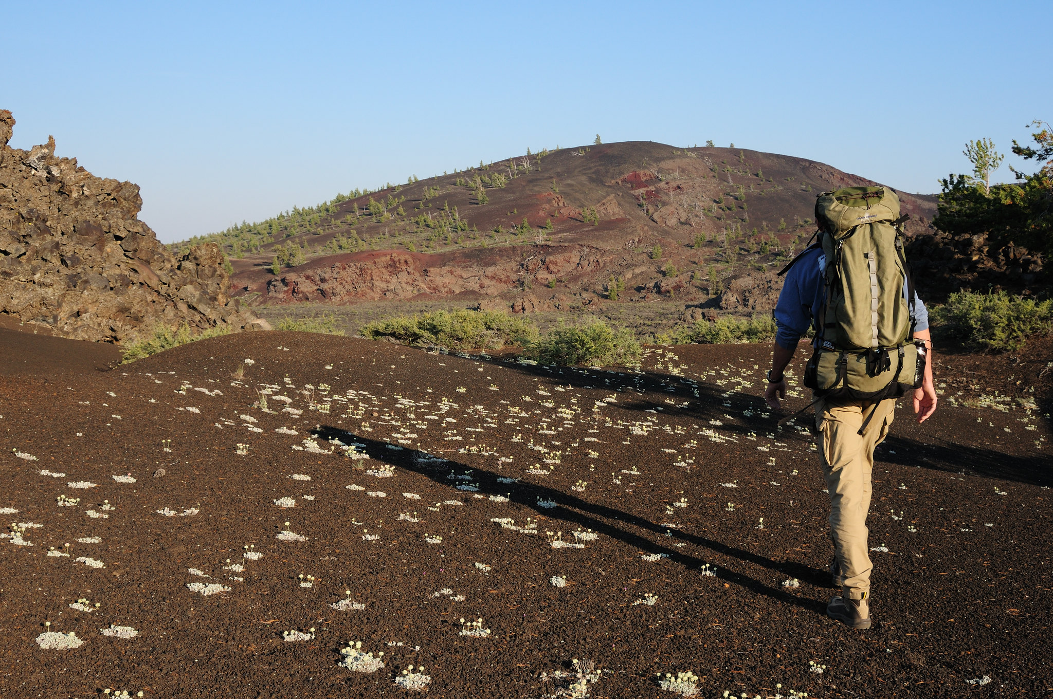
Trail length: 3.5 miles (5.6 km) round-trip
Elevation gain: 758 ft (231 m)
This strenuous trail traverses North Crater and drops into the crater mouth, the vent for the North Crater flow. The trail continues to the rim of Big Craters before descending to the Spatter Cones. For your safety and to protect fragile lava formations, off-trail travel is not permitted at the Spatter Cones or Big Craters areas.
Start your hike at either end of the trail. The northern trailhead is located just a few hundred feet up the park road from the adjacent North Crater Flow Trailhead, and the southern trailhead is located at the Spatter Cones parking area, branching off from the Snow Cone walkway. Hike out and back, or arrange to be picked up or dropped off at one end for a shorter trip.
Pets Pets are not allowed on any trails or in caves. Lava rocks are rough and jagged. The surface of the dark rocks and asphalt can reach 150°F (65°C) or more in the summer and quickly burns paws. Pets should never be left unattended in vehicles or the campground. Parking areas do not have shade and air temperatures can exceed 90°F (32°C) in the middle of summer.
Accessibility TRAIL LENGTH: 3.5 miles (5.6 km) round-trip CUMULATIVE ELEVATION CHANGE: gain 758 ft (231 m), loss 510 ft (155 m) TYPICAL GRADE: 7.5° (13.4%) 64% of trail is from 4.5° to 43° (8% to 94%) Standard wheelchair ramp is 4.5° (8%) TYPICAL CROSS SLOPE: 2.5° (4.2%) 28% of trail is from 4.5° to 48.5° (8% to 113%) TYPICAL TREAD WIDTH: 44 in (111 cm) MINIMUM TREAD WIDTH: 18 in (46 cm) TRAIL SURFACE: Gravel-like cinders and lava rock 90% of trail is FIRM or HARD, 10% of trail is PAVED OBSTRUCTIONS: ROCKS to 10 inches, RUTS to 16 inches, STEPS to 19 inches WARNING: There is one uprooted tree along the trail that restricts vertical clearance to 54 inches. Trail conditions may have changed since this trail was assessed. Temporary obstructions may include downed trees and rock fall. Maximum grades and cross slopes may vary by 10% or more.