
Devils Orchard Trail
Picnic areas
Along the way Devil's Orchard Picnic Area
Trailheads Devil's Orchard Trailhead 5,742 ft Drive there · Devil's Orchard Trailhead 5,742 ft Drive there
Hike Devils Orchard 0.5 mi loop · the Park Service's write-up
30-45 Minutes · no dogs · Spring, Summer, Fall
Trail Length: 0.5 mi (0.8 km) loop
Elevation gain: 39 ft (12 m)
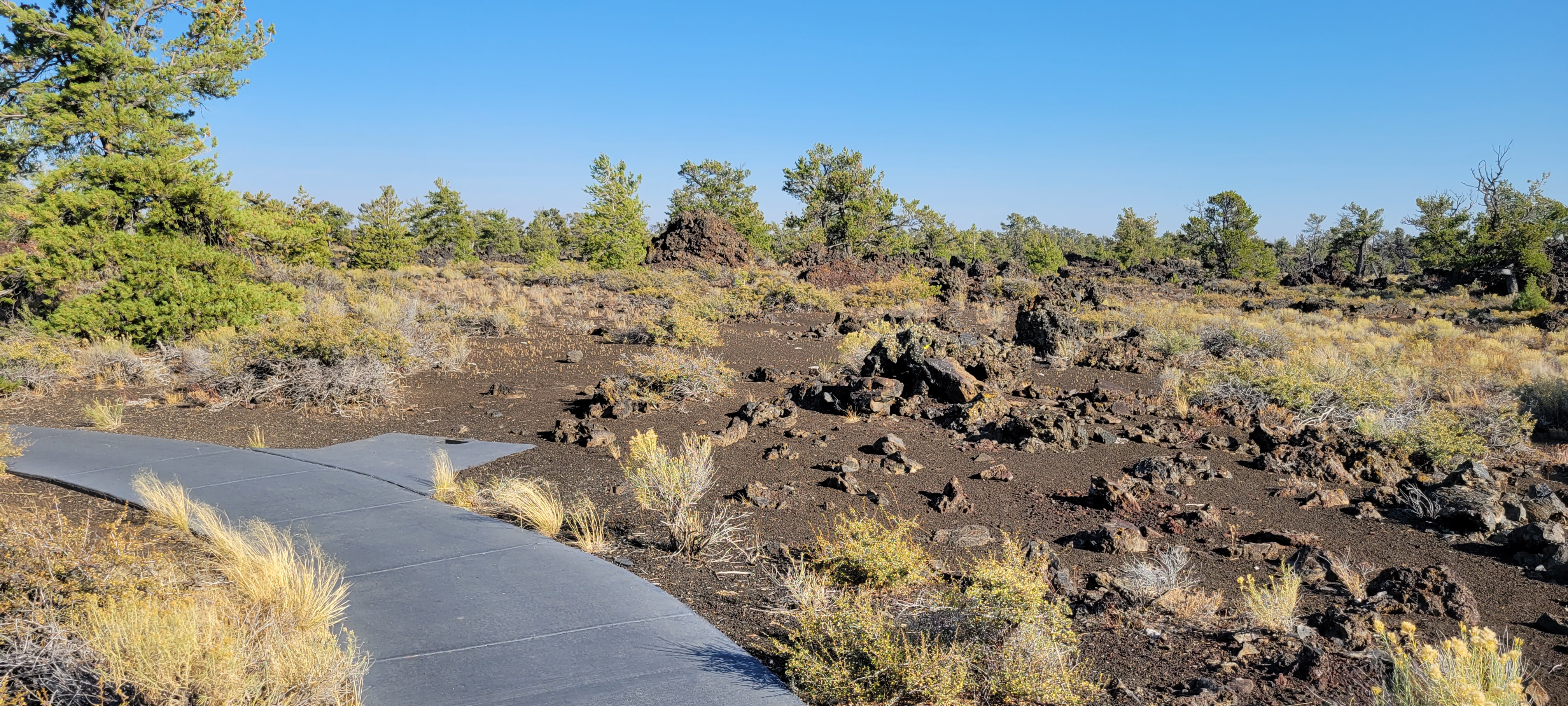
This fully accessible loop trail meanders through an open limber pine woodland and around blocky lava flows. Large, broken-off pieces of North Crater volcano can be seen along the trail. Interpretive signs discuss the indigenous relationship with the land and the unique adaptations plants and animals have evolved to survive here.
Pets Pets are not allowed on any trails or in caves. Lava rocks are rough and jagged. The surface of the dark rocks and asphalt can reach 150°F (65°C) or more in the summer and quickly burns paws. Pets should never be left unattended in vehicles or the campground. Parking areas do not have shade and air temperatures can exceed 90°F (32°C) in the middle of summer.
Accessibility Fully Accessible Trail TRAIL LENGTH: 0.5 miles (0.8 km) loop CUMULATIVE ELEVATION CHANGE: Gain 39 ft (12 m), loss 28 ft (9 m) TYPICAL GRADE: 1.5° (2.5%) 12% of trail is from 4.5° to 9° (8% to 15%) Standard wheelchair ramp is 4.5° (8%) TYPICAL CROSS SLOPE: 2° (3.8%) TYPICAL TREAD WIDTH: 60 in (152 cm) MINIMUM TREAD WIDTH: 60 in (152 cm) TRAIL SURFACE: Concrete 100% of trail is PAVED