
Broken Top Loop Trail
Hike Broken Top Loop 1.8 mi loop · the Park Service's write-up
60-90 Minutes · no dogs · Spring, Summer, Fall
Start Tree Molds Parking Area
Trail Length: 1.8 mi (3 km) Loop
Elevation gain: 242 ft (74 m)
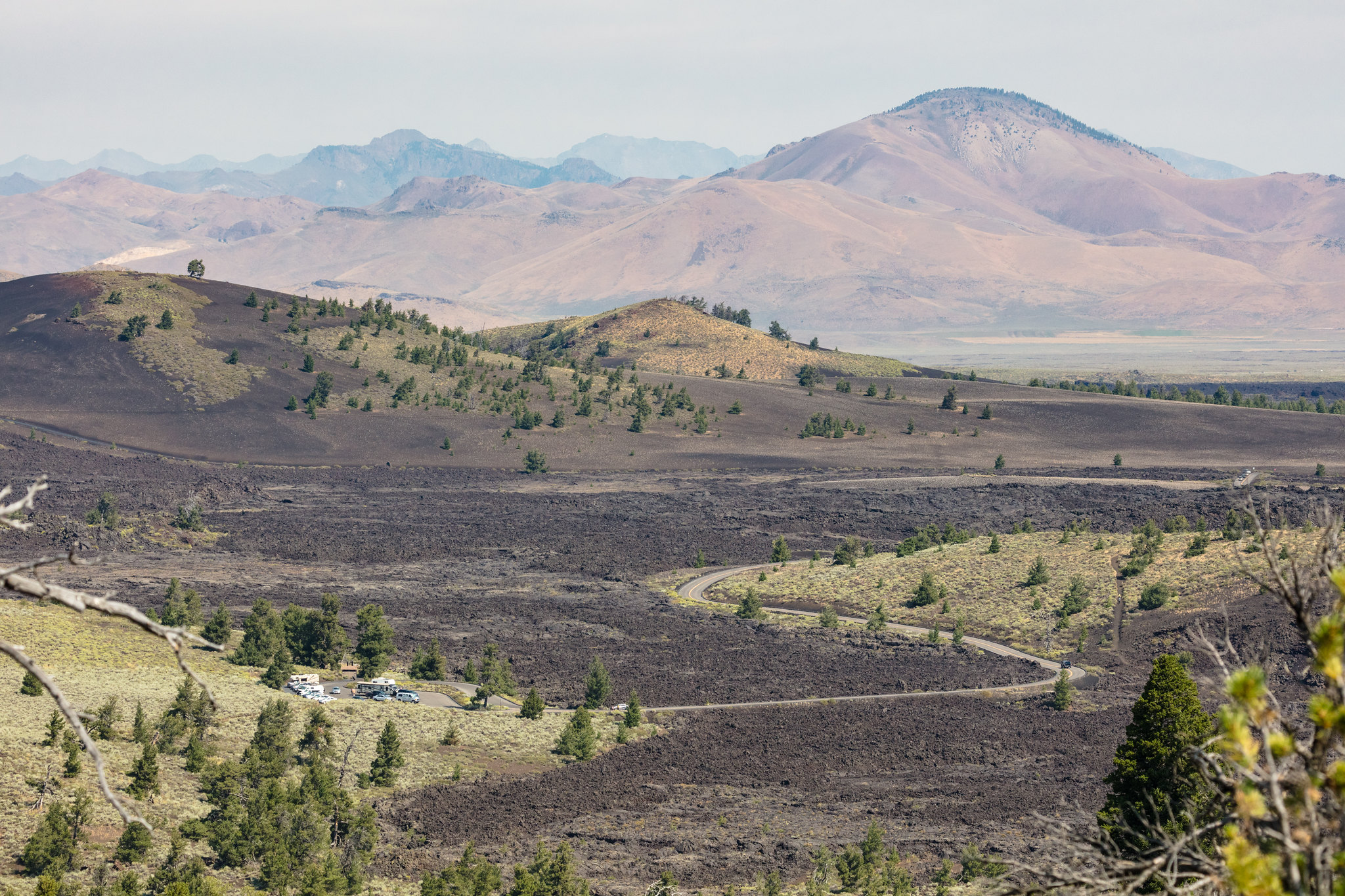
The Broken Top Loop Trail is one of the most outstanding trails within Craters of the Moon. You can observe nearly every type of volcanic feature characteristic of the basaltic eruptions that created this unearthly landscape. This trail also provides access to the Wilderness Trail.
The Broken Top Loop Hiking Guide lets you learn about this amazing area on your hike and is available at the trailhead or from the visitor center bookstore managed by the Craters of the Moon Natural History Association.
Pets Pets are not allowed on any trails or in caves. Lava rocks are rough and jagged. The surface of the dark rocks can reach 150°F (65°C) or more in the summer and quickly burns paws. Pets should never be left unattended in vehicles or the campground. Parking areas do not have shade and air temperatures can exceed 90°F (32°C) in the middle of summer.
Accessibility TRAIL LENGTH: 1.8 miles (3 km) loop CUMULATIVE ELEVATION CHANGE: Gain 242 ft (74 m), loss 197 ft (60 m) TYPICAL GRADE: 3° (4.8%) 23% of trail is from 4.5° to 32° (8% to 62%) Standard wheelchair ramp is 4.5° (8%) TYPICAL CROSS SLOPE: 1° (2.3%) 12% of trail is from 4.5° to 16° (8% to 29%) TYPICAL TREAD WIDTH: 49 in (124 cm) MINIMUM TREAD WIDTH: 18 in (46 cm) TRAIL SURFACE: Gravel-like cinders and lava 74% of trail is FIRM, 26% of trail is HARD or PAVED OBSTRUCTIONS: ROCKS to 12 inches, RUTS to 10 inches, STEPS to 20 inches WARNING: Trail conditions may have changed since this trail was assessed. Temporary obstructions may include downed trees and rock fall. Maximum grades and cross slopes may vary by 10% or more.