Chesapeake & Ohio Canal National Historical Park · District of Columbia, Maryland, West Virginia

Paw Paw Trail

1.4 mi of trail, end to end · about 400 ft of climbing · 536 ft–900 ft · native surface · trail class Developed · bike, hiking, horse

Picnic areas

536 ft 538 ft · 1.4 mi high 900 ft

Along the way Paw Paw Tunnel Picnic Area

Hike Along the Towpath Through the Paw Paw Tunnel the Park Service's write-up

1-2 Minutes · dogs allowed

Start Paw Paw Campground and Picnic Area Parking Lot
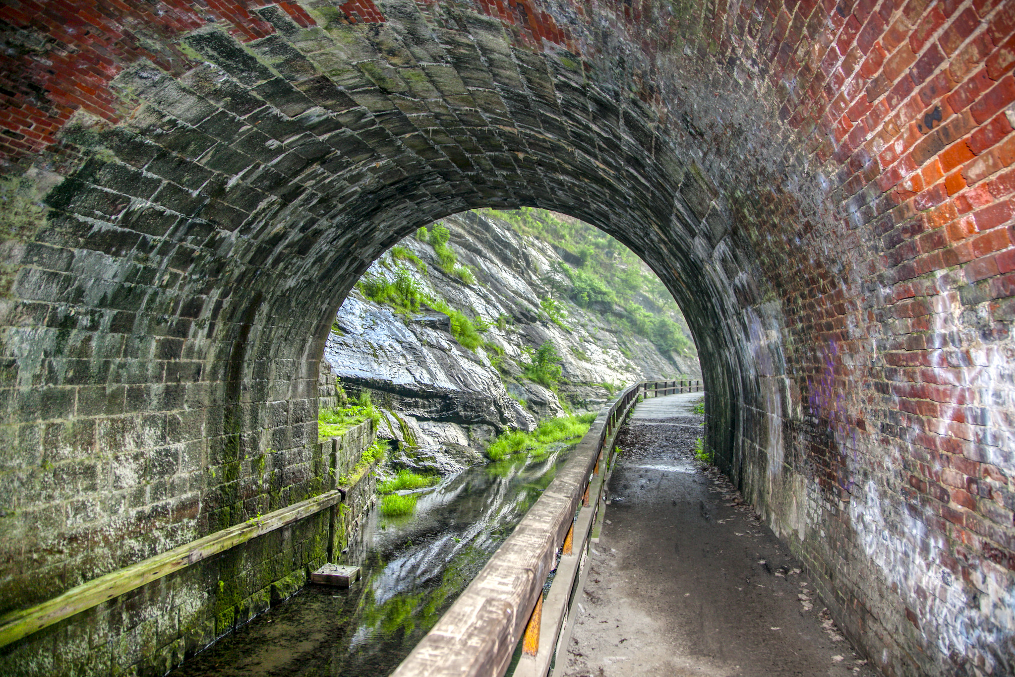
inside view of a brick tunnel next to a canal
View from inside the Paw Paw Tunnel Photo: NPS | Steve Dean

Park at the Paw Paw Tunnel Campground at MP 156 and walk south and through the 3,118-foot Paw Paw Tunnel at MP 155.2. Bring a flashlight to see history of canal operations come to life through the markings of ropes, rub rails, and brass plates throughout the inside of the tunnel.

Address: The Paw Paw Tunnel has no street address, search "Paw Paw Tunnel Campground"

GPS Coordinates: 39°32'39.1"N 78°27'39.2"W

Accessibility This hike follows the C&O Canal towpath, which is a mostly flat path. Towpath access possible at the Paw Paw Campground from a wheelchair via a wide path. The path is semi-steep and the same surface texture as the towpath.

This hike on nps.gov

All 257 trails in Chesapeake & Ohio Canal National Historical ParkFind a trailOn the parks mapPark on nps.gov

About this trail's facts

The lines are the National Park Service's public trails layer, the trailheads and the waterfalls, views, peaks and historic places along them the Service's public points of interest, read 2026-10-16 and simplified for the map; the length is the line's, end to end. The write-ups are the Service's own "things to do" text, unedited. Heights come from USGS 3DEP through Terrain Tiles on AWS (Mapzen/Tilezen), read along each line and rounded; a short trail on steep ground can be off by a few tens of feet. Closures change: check the park's own site before you go.