
Upper Rhyolite
Echo Canyon to Visitor Center the Park Service's write-up
2-4 Hours · no dogs
Start Echo Canyon Trailhead
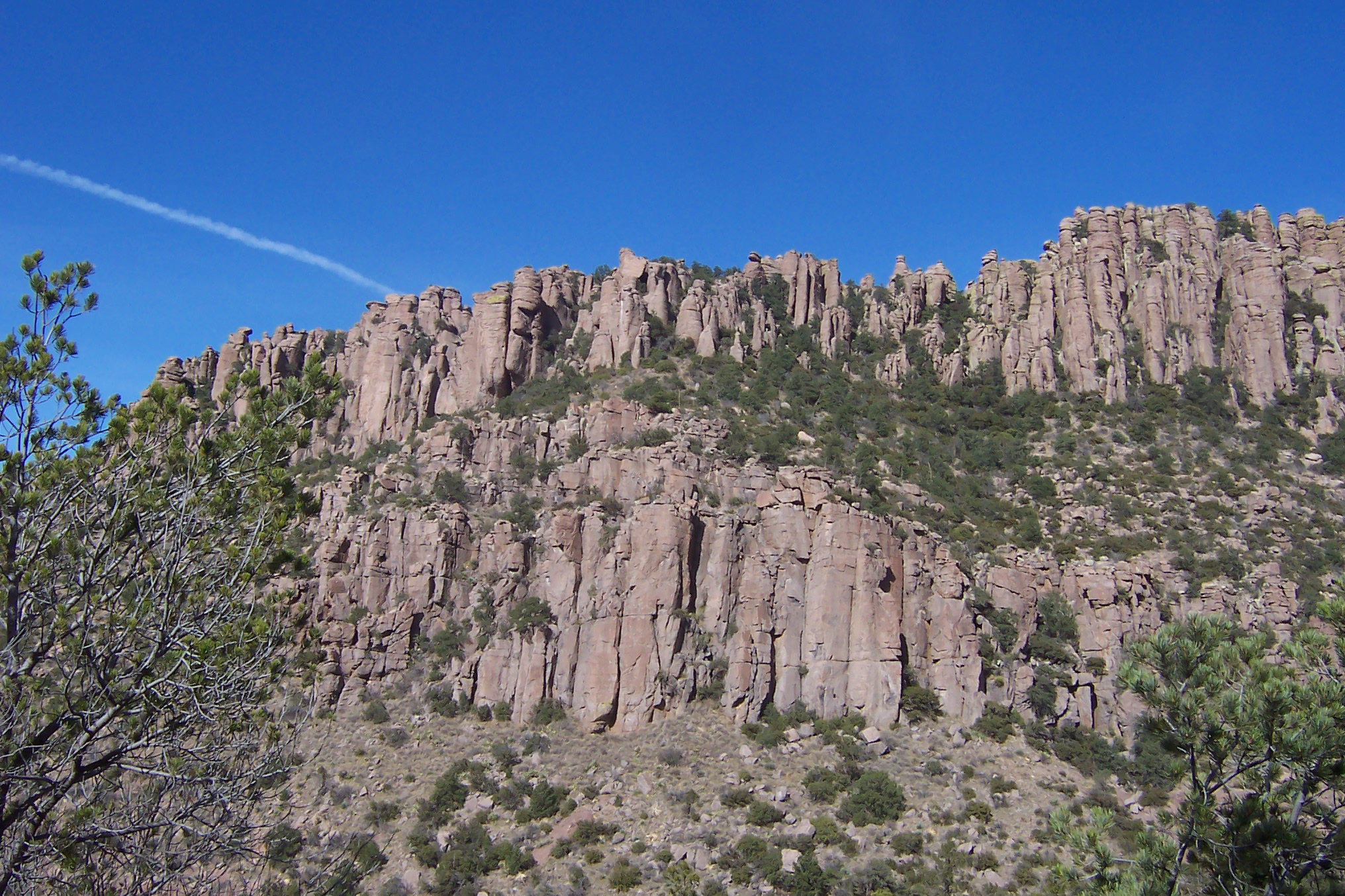
This moderate, 4.2 mile / 6.8 kilometer trail begins at Echo Canyon trailhead and consists of Echo Canyon, Upper Rhyolite Canyon, and Lower Rhyolite Canyon trails ending at the Visitor Center. It goes downhill through spectacular rock formations in Echo Canyon. One stream crossing on the Upper Rhyolite segment can be hazardous if runoff is significant. The last half of the hike is in shaded oak woodlands. Make sure you have transportation back to your vehicle or ride the seasonal hikers' shuttle at 9:00 am.
NOTE: Additional 0.5 mi / 0.8 to campground OR 1.5 mi / 2.4 km to Faraway Ranch parking lot when riding the shuttle.
Accessibility This downhill trail contains rock steps and occasional steep terrain. No pets are allowed.
The Big Loop the Park Service's write-up
4-7 Hours · no dogs
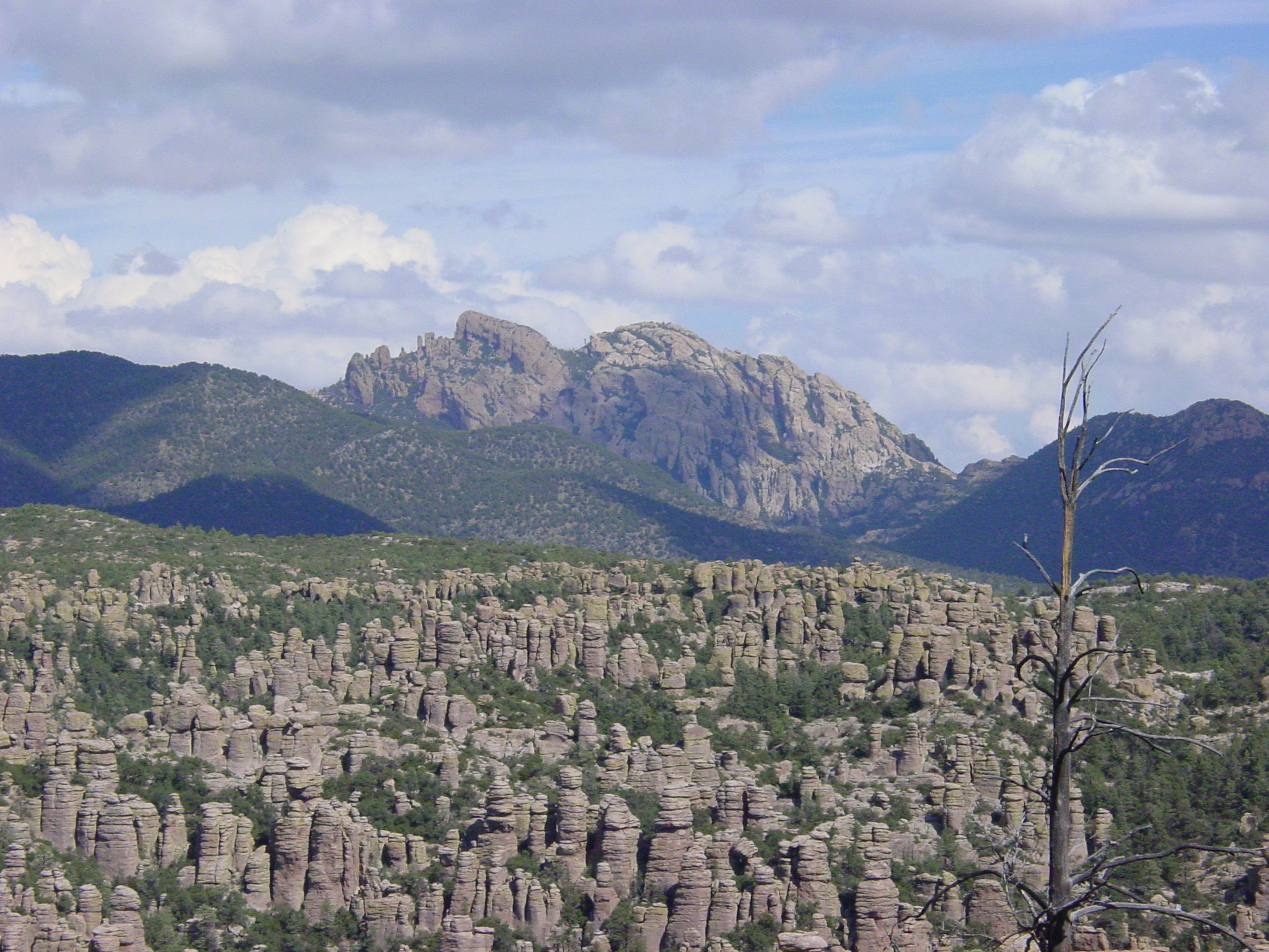
For folks wanting to do everything, this strenuous, 9.5 mile route consists of the Echo Canyon, Upper Rhyolite Canyon, Sarah Deming, Heart of Rocks, Big Balanced Rock, Inspiration Point, Mushroom Rock, and Ed Riggs trails. It features our balanced rocks. The trail begins from the Echo Canyon trailhead.
Accessibility This trail is 9.5 miles/15.4 kilometers long and is rated as strenuous. Stretches of the trail are rocky and steep.