0.9 mi of trail, end to end · about 450 ft of climbing · 6,828 ft–7,289 ft · hiking
Exhibits
Along the waySugarloaf Mountain TrailTurkey Creek CalderaTurkey Creek Caldera
Sugarloaf Mountain Trail the Park Service's write-up
1-2 Hours · no dogs
Start Sugarloaf Mountain Trailhead
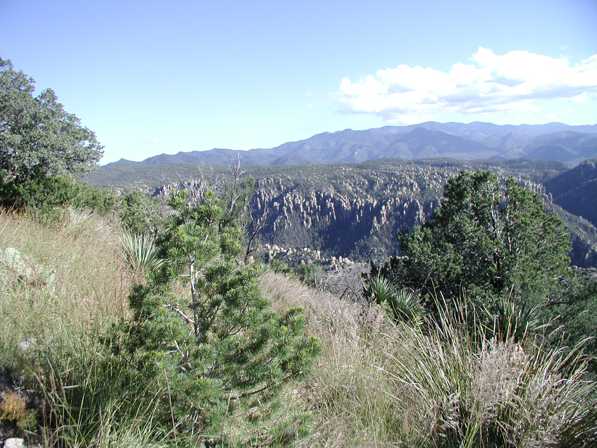
View from Sugarloaf Mountain Photo: NPS Photo
This moderate trail to the top of Sugarloaf Mountain is 1.8 miles/2.8 kilometers roundtrip. Rising above the surrounding canyons, the summit of Sugarloaf Mountain at 7,310ft/2,228m is one of the highest points in the monument. The dark rock is dacite, evidence of a lava flow. Lightning activity is monitored from the Civilian Conservation Corps constructed fire lookout during the summer. Return the same way. Access is from the Sugarloaf parking lot.
Accessibility This uphill trail is well-established with little rough terrain. No pets are allowed.
The lines are the National Park Service's public trails layer, the trailheads and the waterfalls, views, peaks and historic places along them the Service's public points of interest, read 2026-10-16 and simplified for the map; the length is the line's, end to end. The write-ups are the Service's own "things to do" text, unedited. Heights come from USGS 3DEP through Terrain Tiles on AWS (Mapzen/Tilezen), read along each line and rounded; a short trail on steep ground can be off by a few tens of feet. Closures change: check the park's own site before you go.