
Lower Rhyolite
Visitor centers
Along the way Visitor Center
Echo Canyon to Visitor Center the Park Service's write-up
2-4 Hours · no dogs
Start Echo Canyon Trailhead
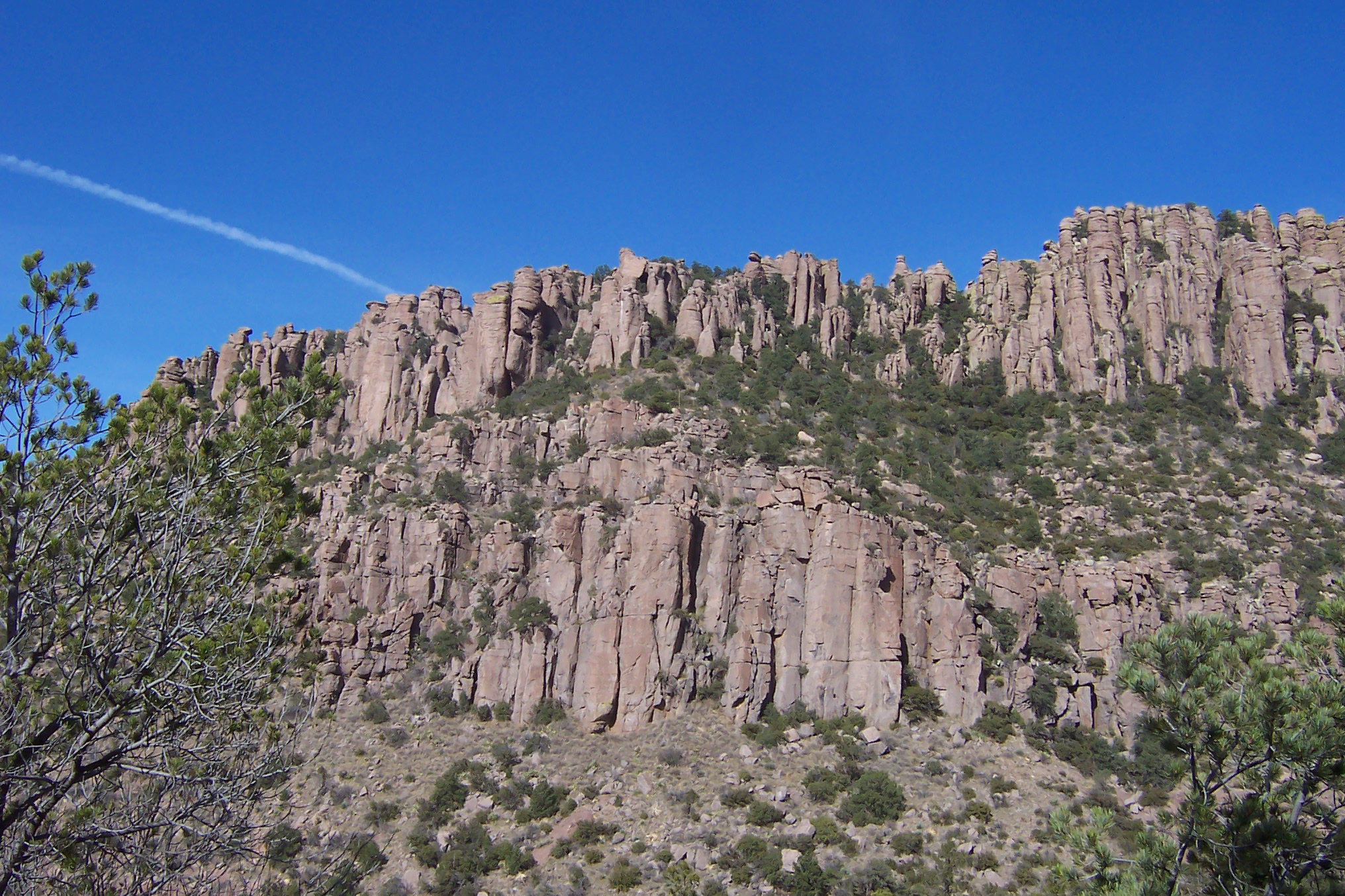
This moderate, 4.2 mile / 6.8 kilometer trail begins at Echo Canyon trailhead and consists of Echo Canyon, Upper Rhyolite Canyon, and Lower Rhyolite Canyon trails ending at the Visitor Center. It goes downhill through spectacular rock formations in Echo Canyon. One stream crossing on the Upper Rhyolite segment can be hazardous if runoff is significant. The last half of the hike is in shaded oak woodlands. Make sure you have transportation back to your vehicle or ride the seasonal hikers' shuttle at 9:00 am.
NOTE: Additional 0.5 mi / 0.8 to campground OR 1.5 mi / 2.4 km to Faraway Ranch parking lot when riding the shuttle.
Accessibility This downhill trail contains rock steps and occasional steep terrain. No pets are allowed.
Hike the Trails at Chiricahua the Park Service's write-up
1-9 Hours · no dogs · season Hiking can be amazing any time of year at Chiricahua National Monument. Summer temperatures can often reach the 80s and 90s. Summer monsoons can provide cooler temperatures than the rest of Arizona. Winters can leave ice or snow on the trails, but daytime highs are often pleasant. Come prepared for quick shifts in weather.
Start Chiricahua National Monument
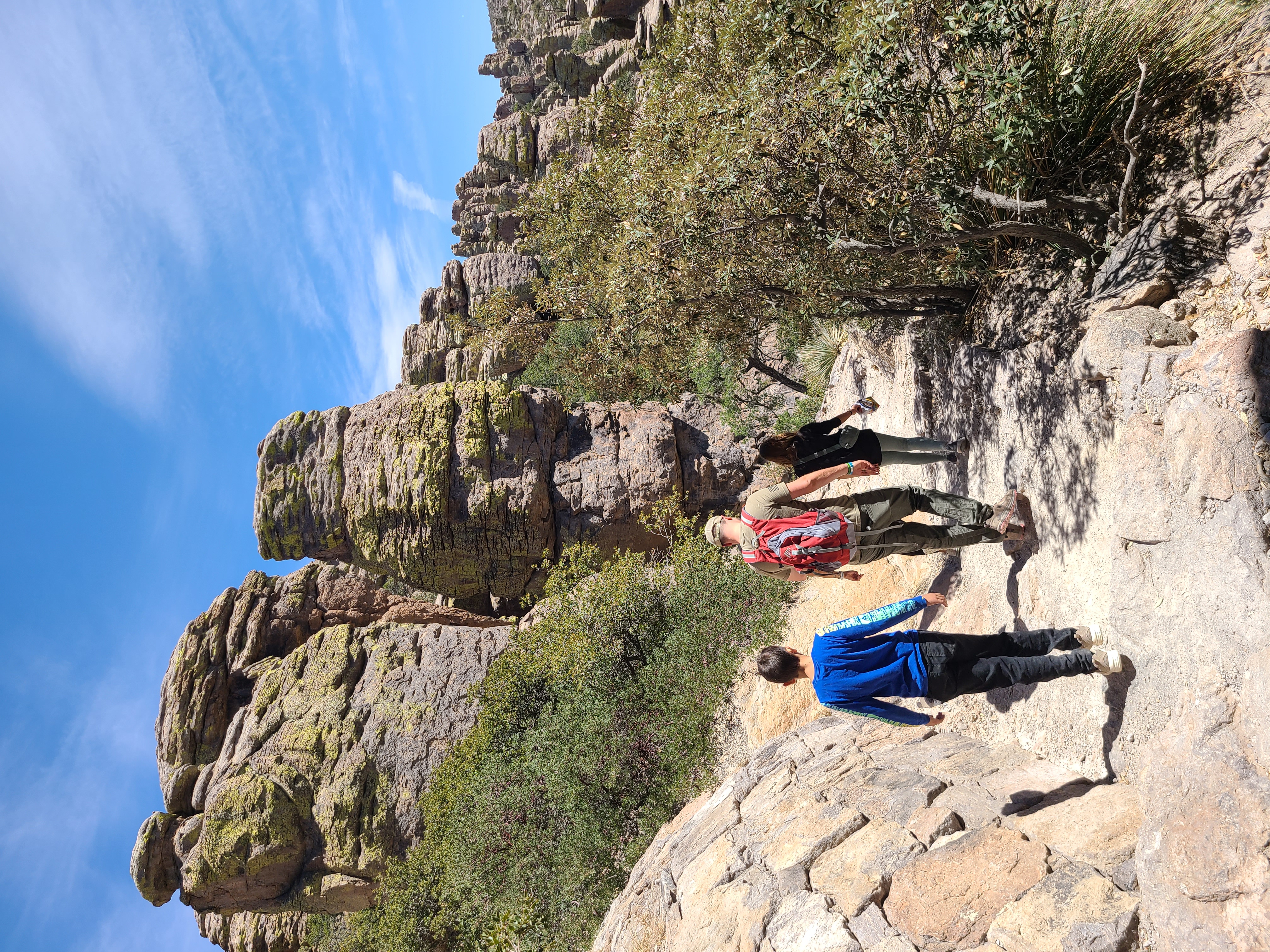
Hiking at Chiricahua National Monument is an experience like no other. Many of the trails immediately bring visitors into an epic landscape of rocks of all shapes and sizes. Visitors don't just gaze at the formations from above, but stand under and beside the towering giants.
Pets Most trails in the rock formations do not allow pets. Lower trails near Faraway Ranch and the Campground allow pets on a leash.
Accessibility Bonita Creek Trail is accessible. A portion of the Massai Point Trail is paved, but may not be accessible due to steep grade.
Lower Rhyolite Canyon Trail the Park Service's write-up
no dogs
Start Visitor Center
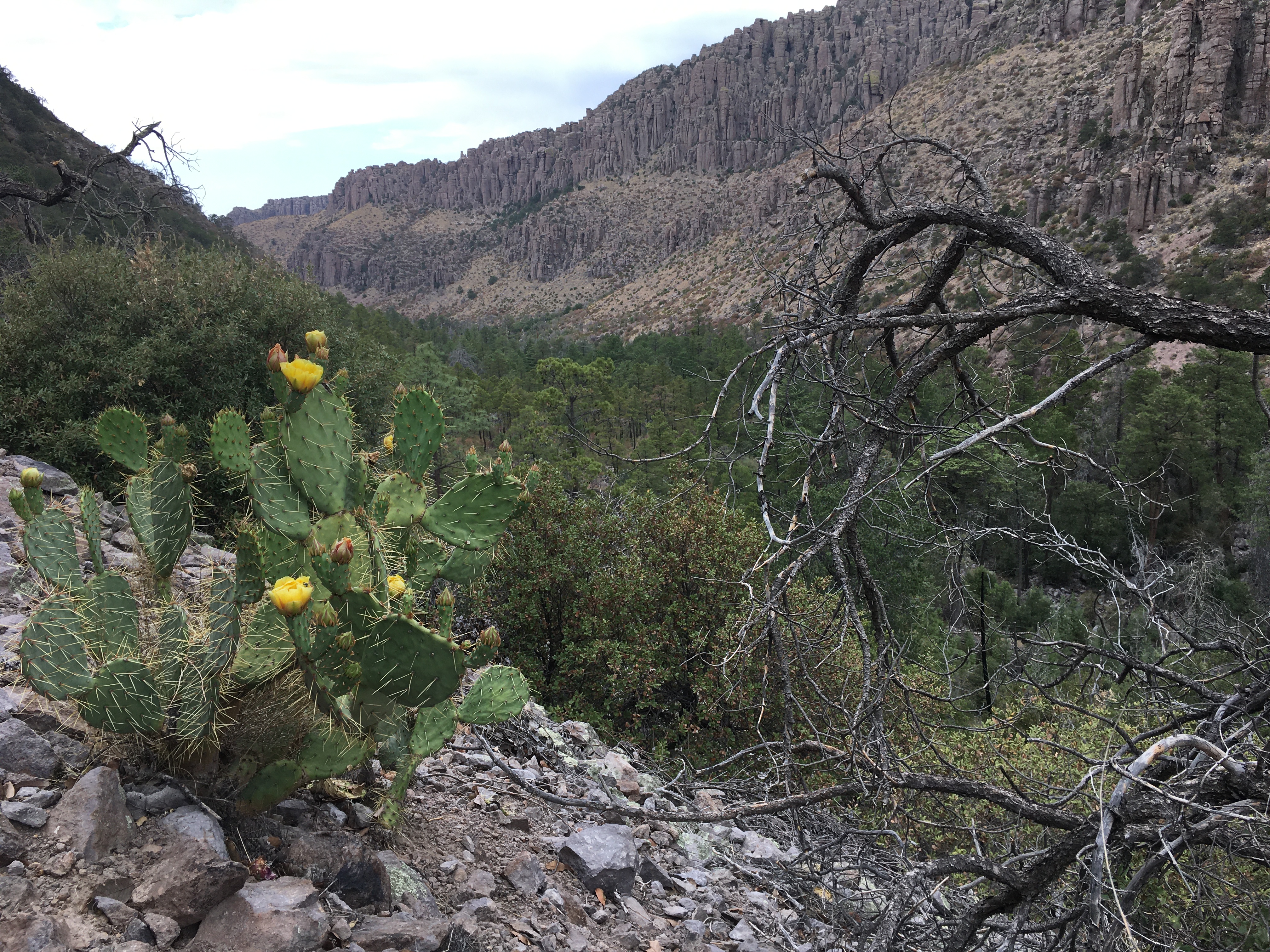
A good way to view the rocks without driving up the road, this mostly-level trail takes you to Rhyolite Canyon, a canyon lined with rock pinnacles. Walk 1.5 miles / 2.4 km until you reach the junction between Upper Rhyolite Canyon and Sarah Deming trails. Return the same way.
Accessibility This trail has a mostly-level, gravel surface.