
Heart of Rocks Loop
Heart of Rocks Loop the Park Service's write-up
4-6 Hours · no dogs
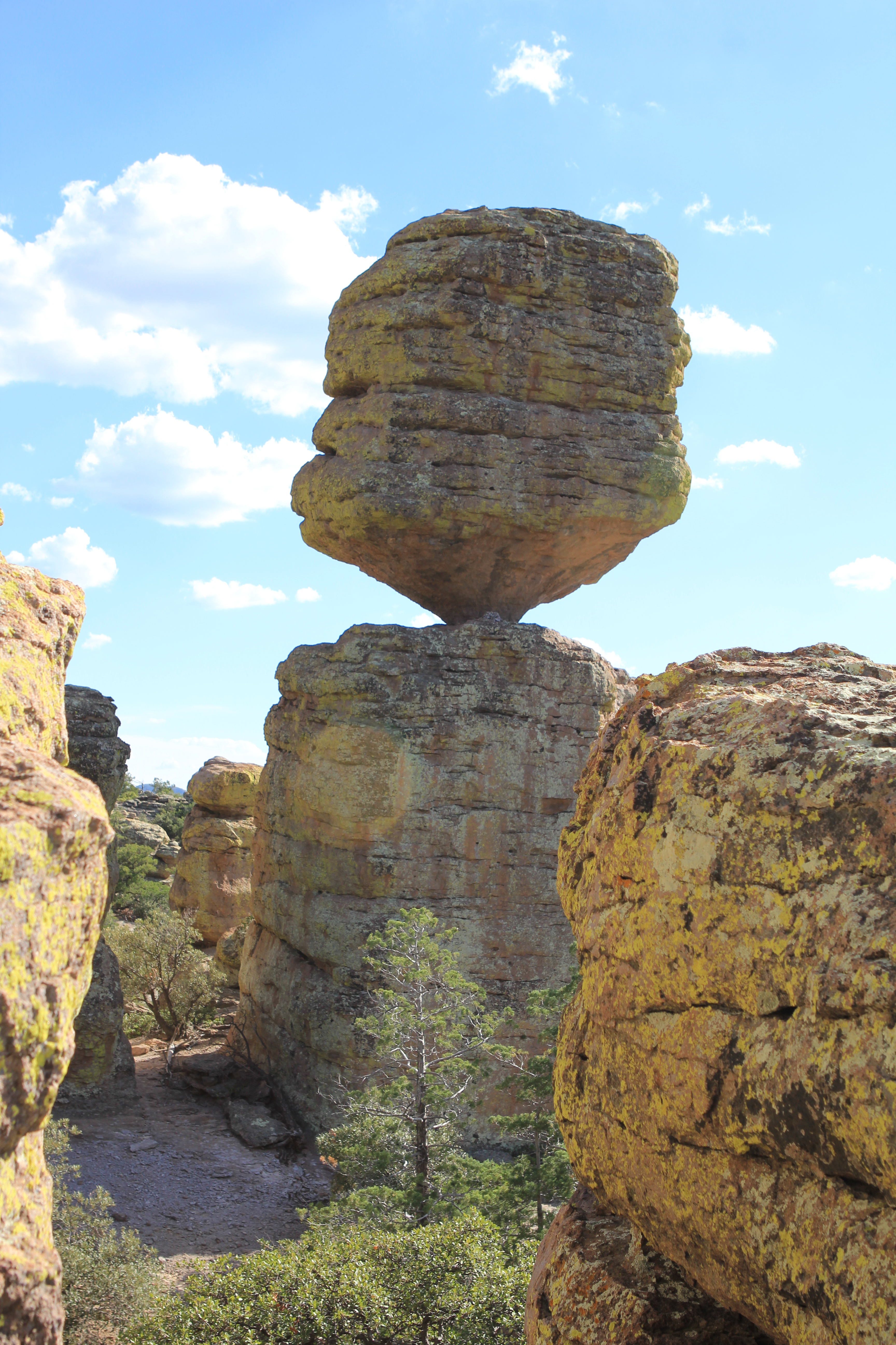
The Heart of Rocks Loop is a 7.3 mile / 11.8 kilometer roundtrip hike to many of the most unusual rock formations in the monument, including Pinnacle Balanced Rock and Big Balanced Rock. Start the loop to the left and hike clockwise for the best views and easiest walking. Lots of rock steps make this a challenging loop, but it's worth the effort. There are three different ways to get to the loop, all of them being the same distance.
Option #1 - Heart of Rocks Loop from Echo Canyon Trailhead
This route consists of the Ed Riggs, Mushroom Rock, Big Balanced Rock, and Heart of Rocks Loop trails. This is an easier route to Heart of Rocks than starting from the visitor center with more views of the rock formations. Ed Riggs trail drops you into the canyon while Mushroom Rock trail climbs 610ft/186m up the other side. Big Balanced Rock trail is along the top of the ridge. Complete the Heart of Rocks Loop and return.
Option #2 - Heart of Rocks Loop from Visitor Center
This route consists of Lower Rhyolite Canyon, Sarah Deming, and Heart of Rocks Loop trails. Lower Rhyolite Canyon trail begins as an easy level walk in the lower canyon forest, but soon starts climbing up Rhyolite Canyon. Sarah Deming trail gains 880ft / 268m to reach the top of the ridge. Complete the Heart of Rocks Loop and return.
Option #3 - Echo Canyon Trailhead to Visitor Center
This route consists of Ed Riggs, Mushroom Rock, Big Balanced Rock, Heart of Rocks Loop, Sarah Deming, and Lower Rhyolite Canyon trails. Make sure you have transportation back to your vehicle or ride the hikers' shuttle at 9:00 am. Watch for changes in vegetation from the upper canyon areas to the lower canyon riparian areas.
NOTE: Additional 0.5 mi / 0.8 to campground OR 1.5 mi / 2.4 km to Faraway Ranch parking lot when riding the shuttle.
Accessibility This is a strenuous trail with rock steps and rocky areas. Pets are not permitted.