Chiricahua National Monument · Arizona

Bonita Creek Loop

0.9 mi of trail, end to end · Bonita Creek Loop: 0.2 mi loop in the Service's write-up · about 60 ft of climbing · 5,147 ft–5,204 ft · concrete surface · trail class Fully Developed · hiking

Exhibits

5,149 ft 5,204 ft · 0.6 mi high 5,204 ft

Along the way Birds of Chiricahua Bonita Creek Chiricahua Life Zones Faraway Ranch Historic District

Bonita Creek Loop 0.2 mi loop · the Park Service's write-up

15-30 Minutes · dogs allowed

Start Trailhead for Bonita Creek Trail Loop
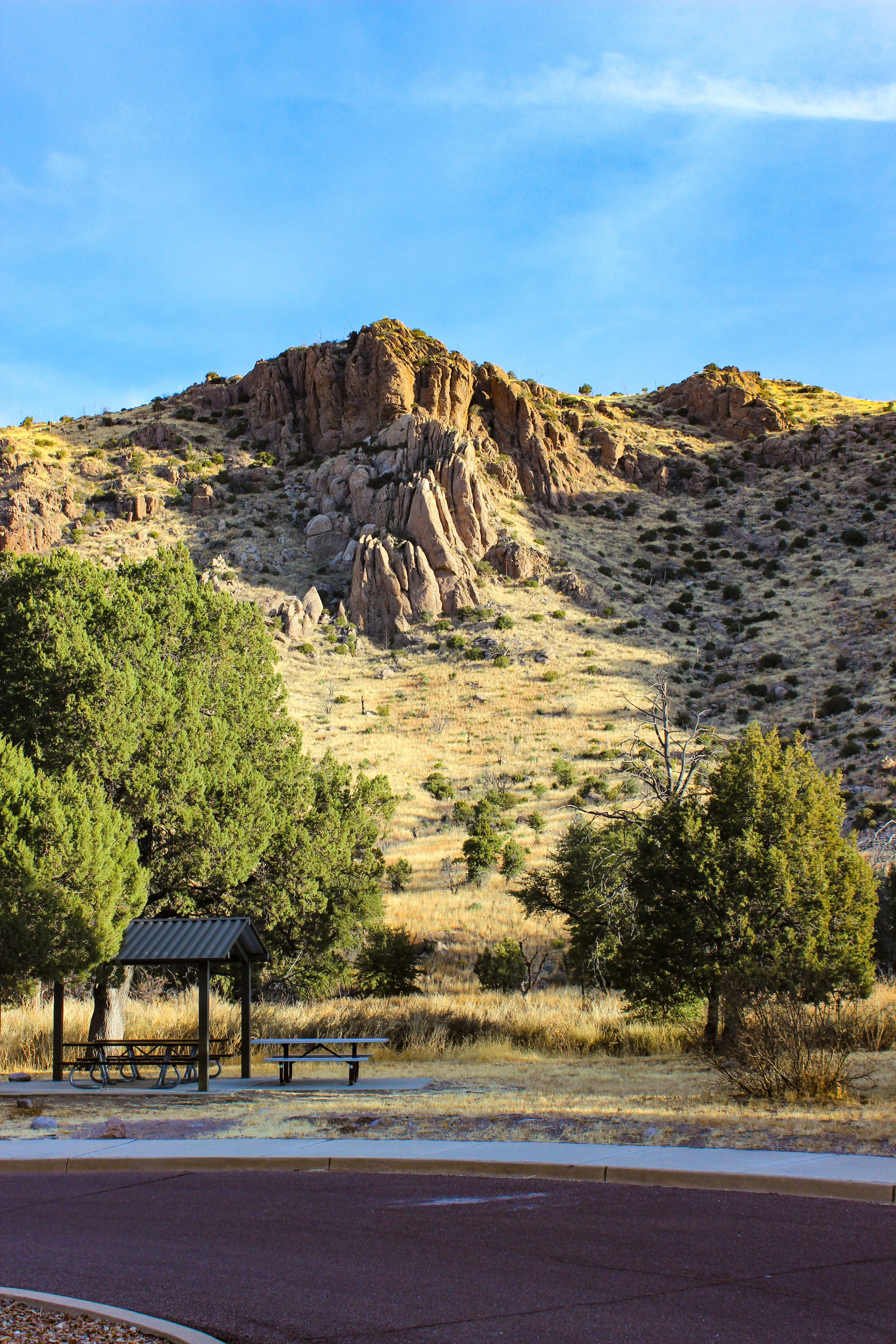
trees and grass in front of a mountain
Walk the paved trail between towering cliffs.

This Bonita Creek loops around the picnic area and takes you along the intermittent Bonita Creek. Watch for Apache plume and prickly poppy flowers in spring and early summer. Arizona whitetail deer are frequently seen in the lower portion of Bonita Canyon. This is a good trail to view grassland birds. This is an easy 0.2 mile loop.

Accessibility This is an easy 0.2 mile trail that is wheelchair accessible. There is no elevation change and pets are allowed on the trail.

This hike on nps.gov

Bonita Creek Trail the Park Service's write-up

30-60 Minutes · dogs allowed

Start Bonita Creek Trail
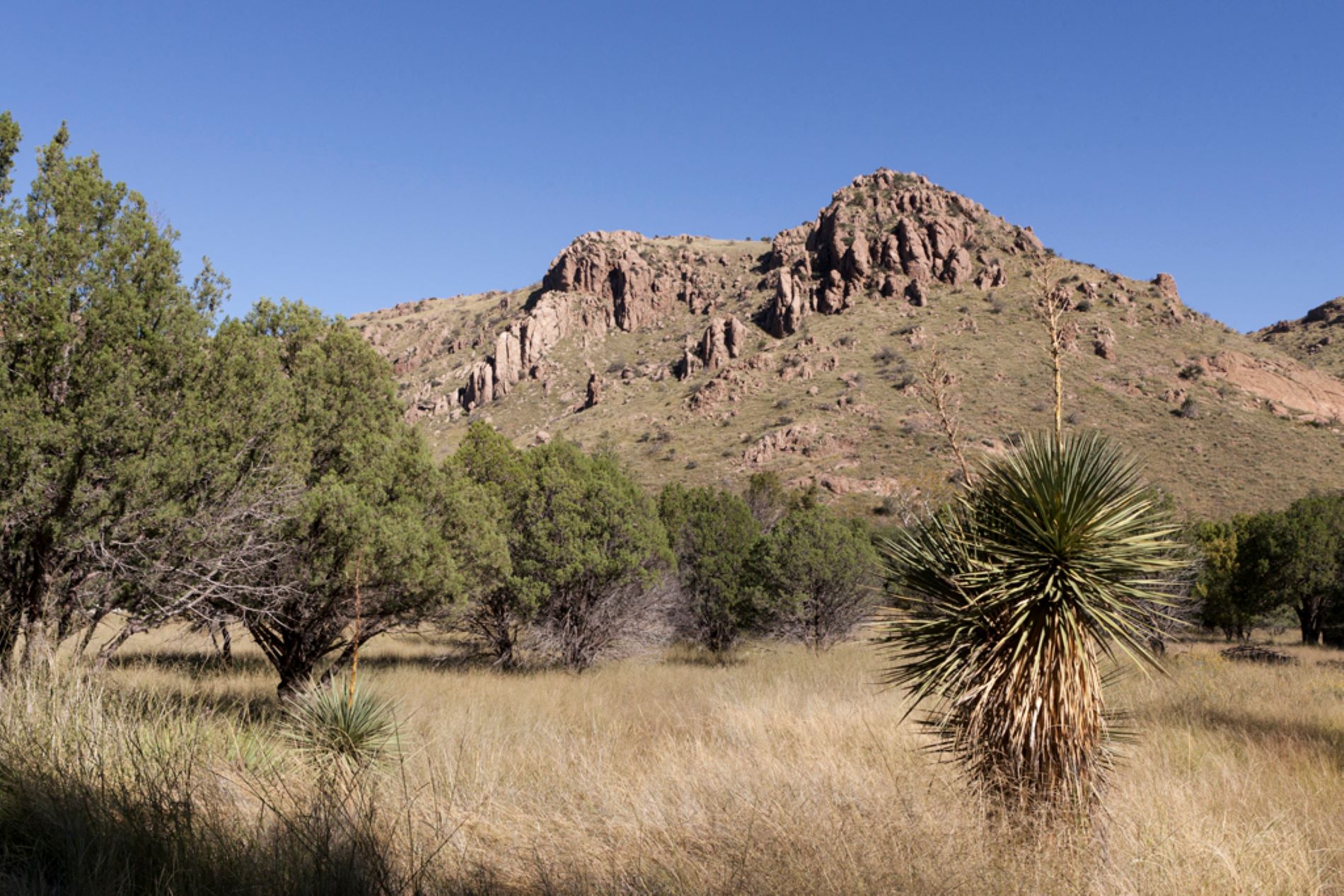
Trees and desert plants, brown grass, and mountain in the background.
View from Bonita Creek Trail Photo: NPS

Winding along Bonita Creek, usually dry, this trail connects the Bonita Creek and Faraway Ranch Picnic Areas. Look for wild animals, including migrating birds, deer, coatimundi, and javelina. This is an easy 0.5 mile trail.

Accessibility This easy 0.5 mile hike is suitable for all ages. Pets are allowed on this trail.

This hike on nps.gov

All 20 trails in Chiricahua National MonumentFind a trailOn the parks mapPark on nps.gov

About this trail's facts

The lines are the National Park Service's public trails layer, the trailheads and the waterfalls, views, peaks and historic places along them the Service's public points of interest, read 2026-10-16 and simplified for the map; the length is the line's, end to end. The write-ups are the Service's own "things to do" text, unedited. Heights come from USGS 3DEP through Terrain Tiles on AWS (Mapzen/Tilezen), read along each line and rounded; a short trail on steep ground can be off by a few tens of feet. Closures change: check the park's own site before you go.