
Rush Hiking Trail
HistoryPicnic areas
Along the way Blacksmith Shop Morning Star Mill Ruins New White Eagle Mill Ruins Old White Eagle Mill Ruins Rush Smelter Warehouse Ruins Rush Pavilion
Hike the Rush Mine Level Trail and Morning Star Interpretive Loop 1.5 mi one way · the Park Service's write-up
1-4 Hours · no dogs
Start Rush Interpretative and Mine Level Trailhead Parking Lot
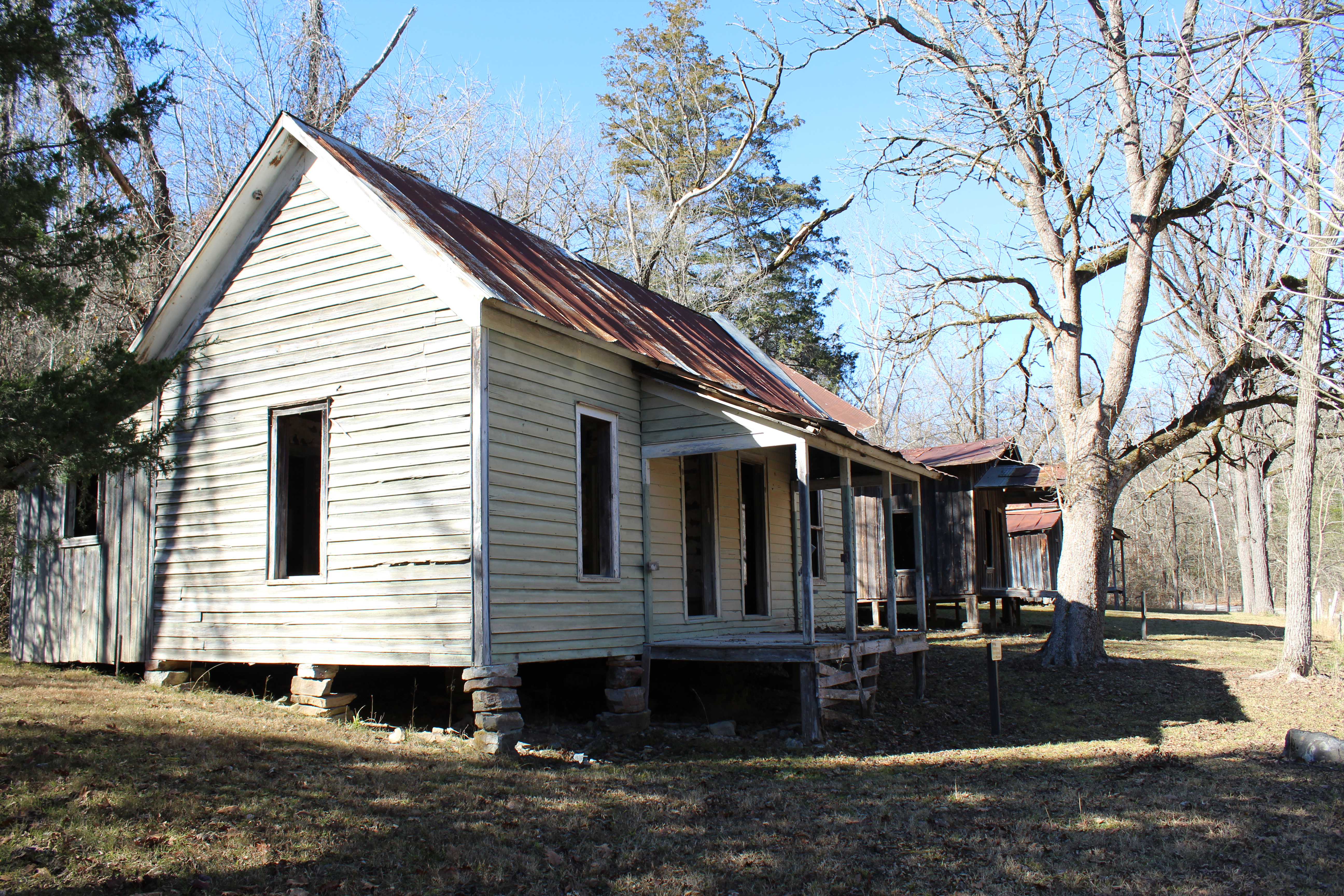
In the 1880s zinc ore was discovered along Rush Creek and soon the rush to Rush began. Claims were staked out along the Rush Valley and neighboring Clabber Creek. A mining boom was well underway by the 1890s as miners, investors, and service industries arrived from all over the country. The most famous of the Rush mines was the Morning Star Mine, which awed observers with its modern quarry production of ore. A community of homes and businesses developed along Rush Creek and endured until the 1960s. Come hike in these hills and through the valley and imagine what it would have been like to work and live here.
The .25-mile hike around the Morning Star Interpretive Loop is a great way to learn more about the zinc mining and history of Rush Valley. The Morning Star Interpretive Loop begins at a small parking lot, just past the historic homes, general store, smelter, and Rush Creek crossing. This gravel path is steep for short sections but is generally a great family-friendly walk.
The Mine Level Trail begins at the top of the Morning Star Interpretive Loop. This 1.5-mile trail, one way, is very steep at the beginning, but levels out as it winds past old mine entrances, which are fenced off to protect visitors and resources. Appreciation of the strength and stamina it must have taken to live and work in this valley can be gained as one hikes around Rush. The Mine Level Trail ends at the river access parking lot.
Accessibility This trail traverses steep, rocky, and uneven terrain. Service animals permitted.