48 named trails · 217 miles · 5 trailheads · 11 with the Park Service's own write-up. The lines, trailheads and points are the Park Service's; the write-ups are the Service's own words; the climbing is read from USGS elevation along each line.
0.2 mi one way · about 80 ft of climbing · 1,002 ft–1,086 ft
HistoryBoat launches
Along the wayPoncaJames A. Villines (Beaver Jim) Chicken HouseJames A. Villines (Beaver Jim) Fruit CellarJames A. Villines (Beaver Jim) HouseJames A. Villines (Beaver Jim) SmokehouseJames A. Villines (Beaver Jim) WPA Outhouse
Hike the Beaver Jim Villines Homestead Trail the Park Service's write-up
15-60 Minutes · dogs allowed
Start Ponca Access
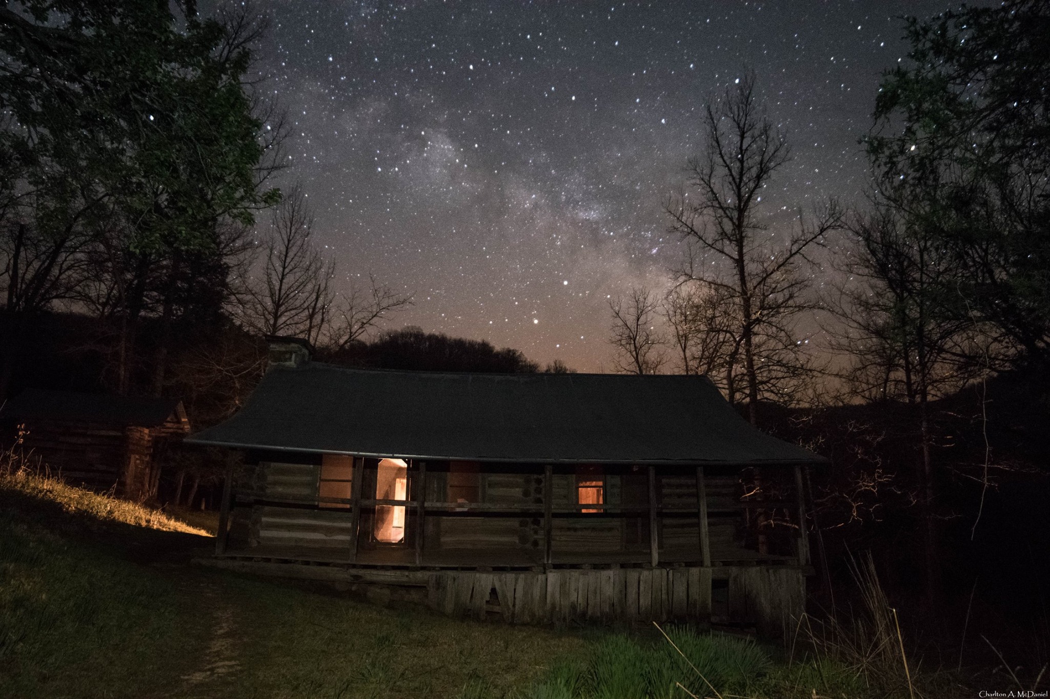
Beaver Jim's cabin under a starry sky Photo: Charlton McDaniel
This short, interpretive loop begins at the Ponca Access of the Buffalo River near the intersection of Hwy. 43 and 74. Walk across the low-water bridge (when passable) and follow signs up the hill. This easy trail passes the old homestead and farm buildings of "Beaver" Jim Villines, an early fur trapper and trader in Boxley Valley.
Accessibility This trail has a somewhat steep grade from the Ponca Access to the homestead. Service animals are permitted.
2.6 mi one way · about 200 ft of climbing · 550 ft of descent · 530 ft–929 ft
CampgroundsVisitor centersRanger stations
Along the wayBuffalo Point B LoopBuffalo Point Lower Contact StationBuffalo Point Ranger StationBuffalo Point Visitor Contact Station
Hike the Buffalo Point Campground Trails the Park Service's write-up
1-4 Hours · dogs allowed
Start Overlook and Indian Rockhouse Trailhead
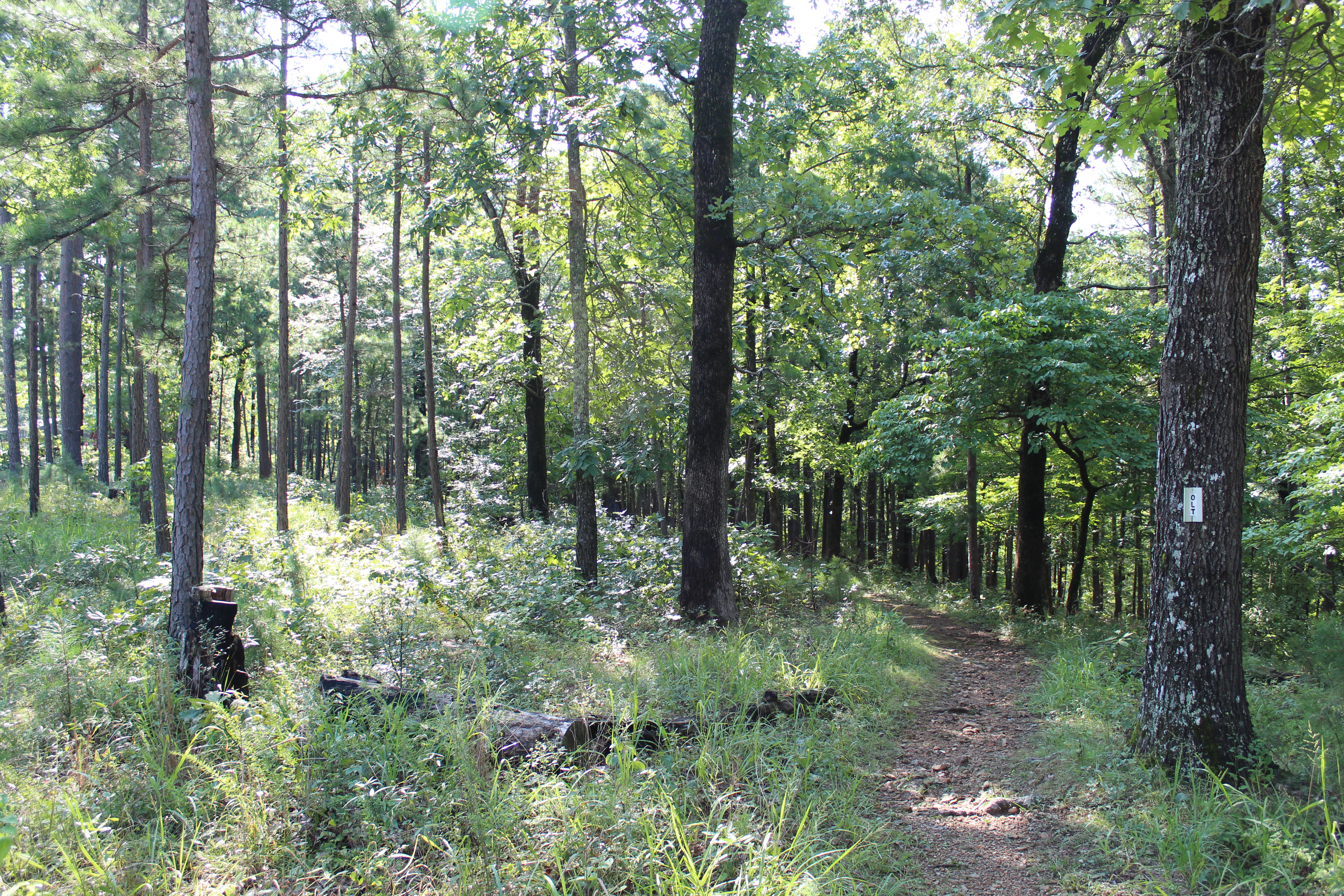
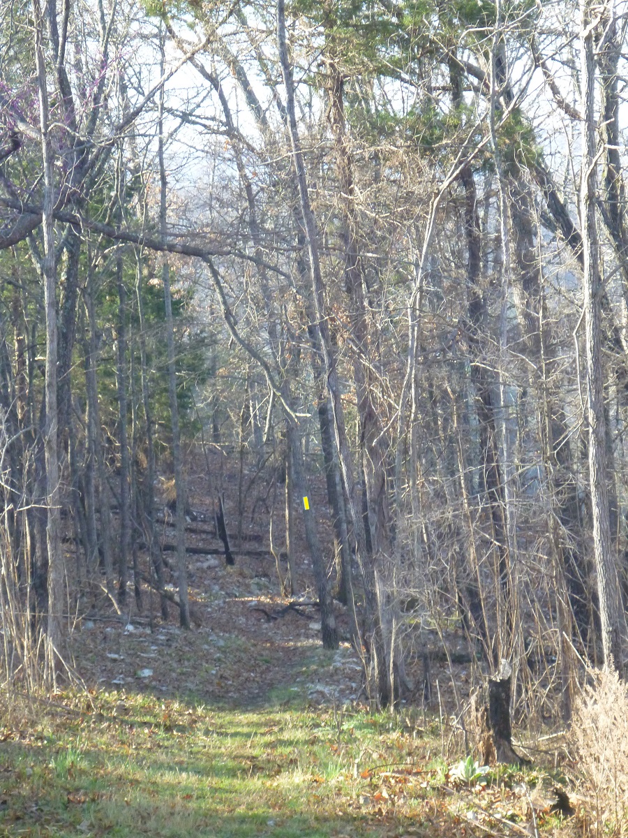
A trail meanders through a forest. Photo: NPS
The Buffalo Point Campground Trail system is made up of three interconnecting trails: Overlook Trail, Campground Trail, and the Forest Trail. You can begin this trail system from the Indian Rockhouse Trailhead parking area, from A Loop, the Lower Contact Station, or Pavilion #1 (near the group sites). Connecting all trails and making a large loop provides about 3 miles of hiking. Leashed dogs are permited on this trail system.
If you are looking for a short (1.2 miles, toundtrip) and relatively easy hike try the Overlook Trail. The view of the gravel bar at Buffalo Point is stunning from the Overlook Trail.
Accessibility These trails are narrow in places and traverses steep, uneven, and rocky terrain.
3.5 mi one way · about 650 ft of climbing · 575 ft–897 ft
History
Along the wayCollier Homestead CisternCollier Homestead HouseCollier Homestead Smokehouse
Hike the Beaver Jim Villines Homestead Trail the Park Service's write-up
15-60 Minutes · dogs allowed
Start Ponca Access
Beaver Jim's cabin under a starry sky Photo: Charlton McDaniel
This short, interpretive loop begins at the Ponca Access of the Buffalo River near the intersection of Hwy. 43 and 74. Walk across the low-water bridge (when passable) and follow signs up the hill. This easy trail passes the old homestead and farm buildings of "Beaver" Jim Villines, an early fur trapper and trader in Boxley Valley.
Accessibility This trail has a somewhat steep grade from the Ponca Access to the homestead. Service animals are permitted.
Hike the Buffalo River Trail - Boxley to Pruitt the Park Service's write-up
no dogs
Start Boxley Trailhead
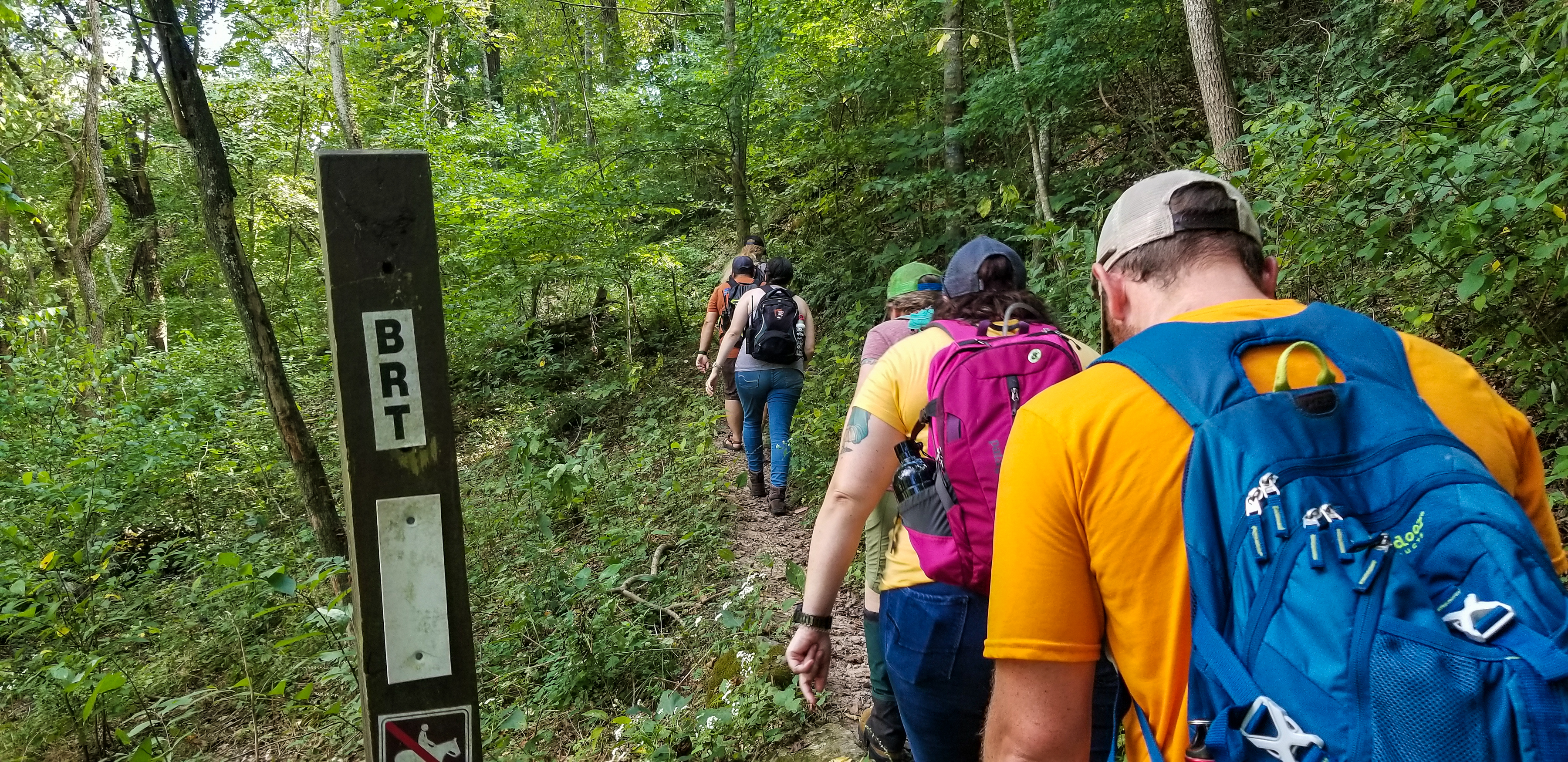
Hikers start down the Buffalo River Trail at Steel Creek Photo: Arkansas Tourism
The Buffalo River Trail (BRT) begins near Whiteley Cemetery in Boxley Valley and winds along the bluffs, gravel bars, and banks that cradle the river. The BRT passes scenic overlooks, old home sites, and wild areas, giving visitors a firsthand look at what best characterizes the Buffalo River.
The BRT is a moderate to strenuous hike. Hiking is most strenuous between Boxley Valley and Erbie, where long, steep bluff lines lead to spectacular views of the river and all the beauty that surrounds it. Downstream of Erbie, the trail gradually gives way to a gentler terrain that is more forgiving to hikers. Trailheads to the BRT are located at the south end of Boxley Valley, Ponca Low Water Bridge, Steel Creek, Kyle's Landing, Erbie, Ozark, and Pruitt.
Pets Pets are not allowed on trails in the Ponca Wilderness at Buffalo National River. Documented service animals are permitted.
Accessibility This is a narrow trail that traverses steep, uneven, and rocky terrain. Documented service animals are permitted.
Hike the Buffalo River Trail - Woolum to Dillards Ferry the Park Service's write-up
24-48 Hours · no dogs
Start Multiple access points
Be sure to come prepared for this long hike, and follow "Leave no Trace" principles! Photo: NPS
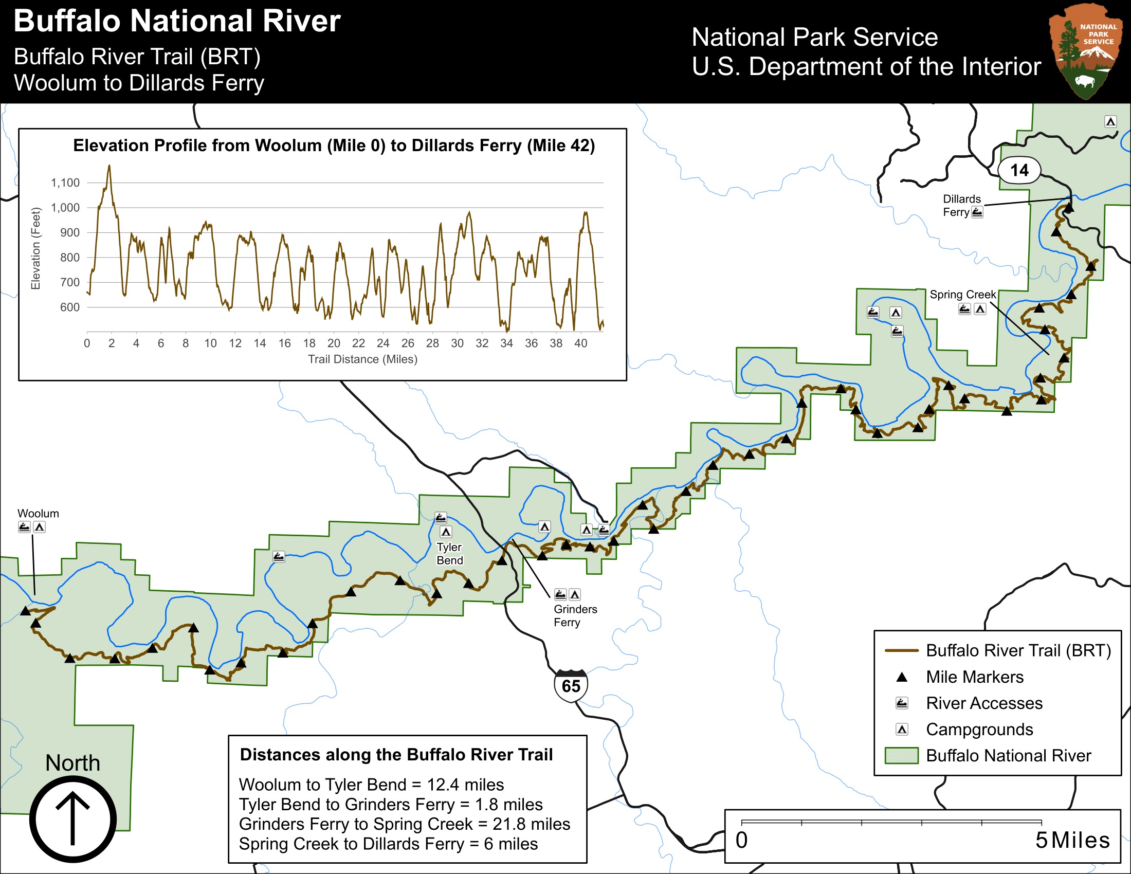
The Buffalo River Trail follows along the south side of the river from Woolum to Dillards Ferry for a little more than 42 miles. The trail is moderate/difficult due to the length and many inclines and steep switchbacks. This trail incorporates the newly completed stretch from Griders Ferry to Dillards Ferry. If river levels are low, you will not have any water in side drainage's so you will need to pack in enough water for your hike.
Pets Service animals are permitted.
Accessibility This trail can be narrow, steep, and rocky in many places. This is not an ADAM compliant trail. Service animals are permitted.
Hike the Buffalo River Trail - Woolum to Tyler Bend the Park Service's write-up
12 Hours · no dogs
Start Buffalo River Trail, Woolum Trailhead
At various points along the Buffalo River Trail, you will have incredible views of the river. Photo: NPS
The Buffalo River Trail follows along the south side of the river from Woolum to Tyler Bend for a little more than 11 miles. The trail is moderate with gradual inclines and a few steep switchbacks. You will be rewarded with great views of the river from Dave Manes, Whisenant, and Peter Cave Bluffs. If river levels are low, you will not have any water in side drainages so you will need to pack in enough water for your hike.
Accessibility Trail is narrow and rocky in places and follows along high cliffs. This is not an ADA compliant trail.
75 mi one way · about 12,000 ft of climbing · 511 ft–1,788 ft
HistoryCampgroundsPicnic areas
Along the waySteel Creek Horse CampAdair CemeteryCherry Grove CemeteryHorton CemeteryParker-Hickman Board BarnParker-Hickman Chicken HouseParker-Hickman Corn CribParker-Hickman HouseParker-Hickman Log BarnParker-Hickman Machine ShedParker-Hickman SmokehouseParker-Hickman WPA Outhouseand 1 more
Hike the Beaver Jim Villines Homestead Trail the Park Service's write-up
15-60 Minutes · dogs allowed
Start Ponca Access
Beaver Jim's cabin under a starry sky Photo: Charlton McDaniel
This short, interpretive loop begins at the Ponca Access of the Buffalo River near the intersection of Hwy. 43 and 74. Walk across the low-water bridge (when passable) and follow signs up the hill. This easy trail passes the old homestead and farm buildings of "Beaver" Jim Villines, an early fur trapper and trader in Boxley Valley.
Accessibility This trail has a somewhat steep grade from the Ponca Access to the homestead. Service animals are permitted.
Hike the Buffalo River Trail - Boxley to Pruitt the Park Service's write-up
no dogs
Start Boxley Trailhead
Hikers start down the Buffalo River Trail at Steel Creek Photo: Arkansas Tourism
The Buffalo River Trail (BRT) begins near Whiteley Cemetery in Boxley Valley and winds along the bluffs, gravel bars, and banks that cradle the river. The BRT passes scenic overlooks, old home sites, and wild areas, giving visitors a firsthand look at what best characterizes the Buffalo River.
The BRT is a moderate to strenuous hike. Hiking is most strenuous between Boxley Valley and Erbie, where long, steep bluff lines lead to spectacular views of the river and all the beauty that surrounds it. Downstream of Erbie, the trail gradually gives way to a gentler terrain that is more forgiving to hikers. Trailheads to the BRT are located at the south end of Boxley Valley, Ponca Low Water Bridge, Steel Creek, Kyle's Landing, Erbie, Ozark, and Pruitt.
Pets Pets are not allowed on trails in the Ponca Wilderness at Buffalo National River. Documented service animals are permitted.
Accessibility This is a narrow trail that traverses steep, uneven, and rocky terrain. Documented service animals are permitted.
Hike the Buffalo River Trail - Woolum to Dillards Ferry the Park Service's write-up
24-48 Hours · no dogs
Start Multiple access points
Be sure to come prepared for this long hike, and follow "Leave no Trace" principles! Photo: NPS
The Buffalo River Trail follows along the south side of the river from Woolum to Dillards Ferry for a little more than 42 miles. The trail is moderate/difficult due to the length and many inclines and steep switchbacks. This trail incorporates the newly completed stretch from Griders Ferry to Dillards Ferry. If river levels are low, you will not have any water in side drainage's so you will need to pack in enough water for your hike.
Pets Service animals are permitted.
Accessibility This trail can be narrow, steep, and rocky in many places. This is not an ADAM compliant trail. Service animals are permitted.
Hike the Buffalo River Trail - Woolum to Tyler Bend the Park Service's write-up
12 Hours · no dogs
Start Buffalo River Trail, Woolum Trailhead
At various points along the Buffalo River Trail, you will have incredible views of the river. Photo: NPS
The Buffalo River Trail follows along the south side of the river from Woolum to Tyler Bend for a little more than 11 miles. The trail is moderate with gradual inclines and a few steep switchbacks. You will be rewarded with great views of the river from Dave Manes, Whisenant, and Peter Cave Bluffs. If river levels are low, you will not have any water in side drainages so you will need to pack in enough water for your hike.
Accessibility Trail is narrow and rocky in places and follows along high cliffs. This is not an ADA compliant trail.
Hike the Old Railroad Trail the Park Service's write-up
3 Hours · no dogs
Start Old Railroad trailhead
This "rails to trails" trail follows the route of the Missouri and Northern Arkansas railroad. Photo: NPS
The Old Raildroad Trail follows the river east from Gilbert along the former route of the Missouri and North Arkansas Railroad. This relatively flat trail takes you to a point where the railroad crossed the Buffalo River at Red Bluff. The trail ends at the old piers.
Accessibility Much of the trail is flat, but it is not ADA compliant.
7.8 mi one way · about 1,600 ft of climbing · 589 ft–1,170 ft
History
Along the waySlay Cemetery
Hike Shine Eye to Gilbert the Park Service's write-up
4 Hours · no dogs
Start First parking lot for Shine Eye to Gilbert trail
Hiking the Shine Eye to Gilbert Trail is mostly moderate, but has some steep elevation gains. Photo: NPS
The Shine Eye to Gilbert Trail follows the north side of the river between the Highway 65 bridge and the small town of Gilbert. This is a hiker and horse trail marked with yellow blazes. It follows Long Bottom Bluff around Lane Bend into Gilbert.
Accessibility Trail is narrow, rocky and steep in places. Trail is not ADA compliant.
5.0 mi one way · about 750 ft of climbing · 921 ft–1,572 ft
History
Along the wayErbie ChurchJones Cemetery
TrailheadCecil Cove Trailhead 1,022 ft Drive there
Hike the Cecil Cove Loop the Park Service's write-up
5-8 Hours · no dogs
Start Cecil Cove Trailhead
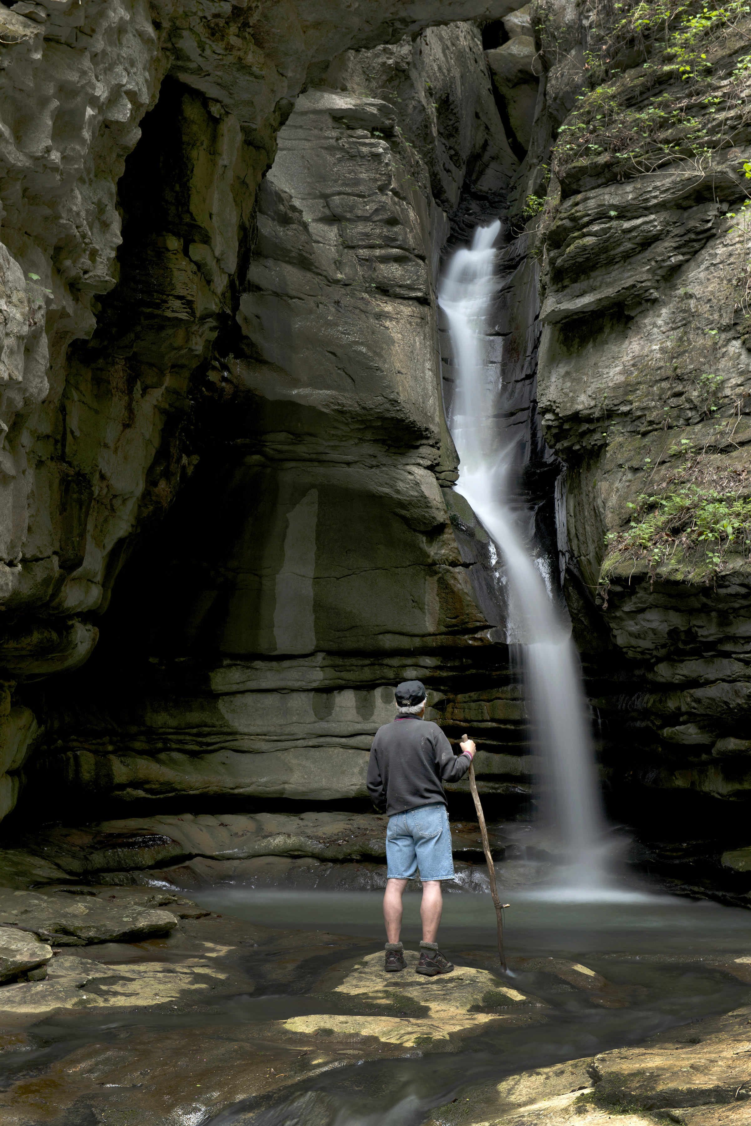
Thunder Canyon Falls, located in a canyon near the Cecil Cove Loop Photo: Arkansas Tourism
The Cecil Cove Trail begins near the historic Erbie Church, and begins a gentle descent down an old wagon road. The trail winds through the wooded valley following Cecil Creek creating a nice moderate hike for visitors. The trail crosses the Cecil Creek 5 times along this first section of trail, so the creek may not be passable during rainy season due to high water. The trail continues at a nice moderate pace for the first 2.0 miles. The Cecil Cove Trail then begins a steep ascent up the mountain, climbing more than 500 ft. The trail passes old home sites, historic cemeteries, and provides beautiful scenic views during leaf off. The upper section of the trail is known to be fairly muddy throughout much of the year, especially during rainy season. The trail travels another 3.0 miles and intersects with the Compton-Erbie Road. The last section of the trail follows the Compton-Erbie Road down the mountain approximately 2.0 miles, ending at the trailhead where you began.
CAUTION: Starting in 2021 the Cecil Cove Trail experienced and continues to experience landslides. Please proceed on the trail at your own risk and use extreme caution when hiking in this area.
Pets Pets are not allowed on the Cecil Cove Loop. Service animals are permitted.
Accessibility This trail traverses steep, rocky, uneven terrain and has multiple creek crossings. Service animals permitted.
3.4 mi one way · about 30 ft of climbing · 1,100 ft of descent · 1,050 ft–2,170 ft
Hike to Big Bluff the Park Service's write-up
4-6 Hours · no dogs
Start Centerpoint Trailhead
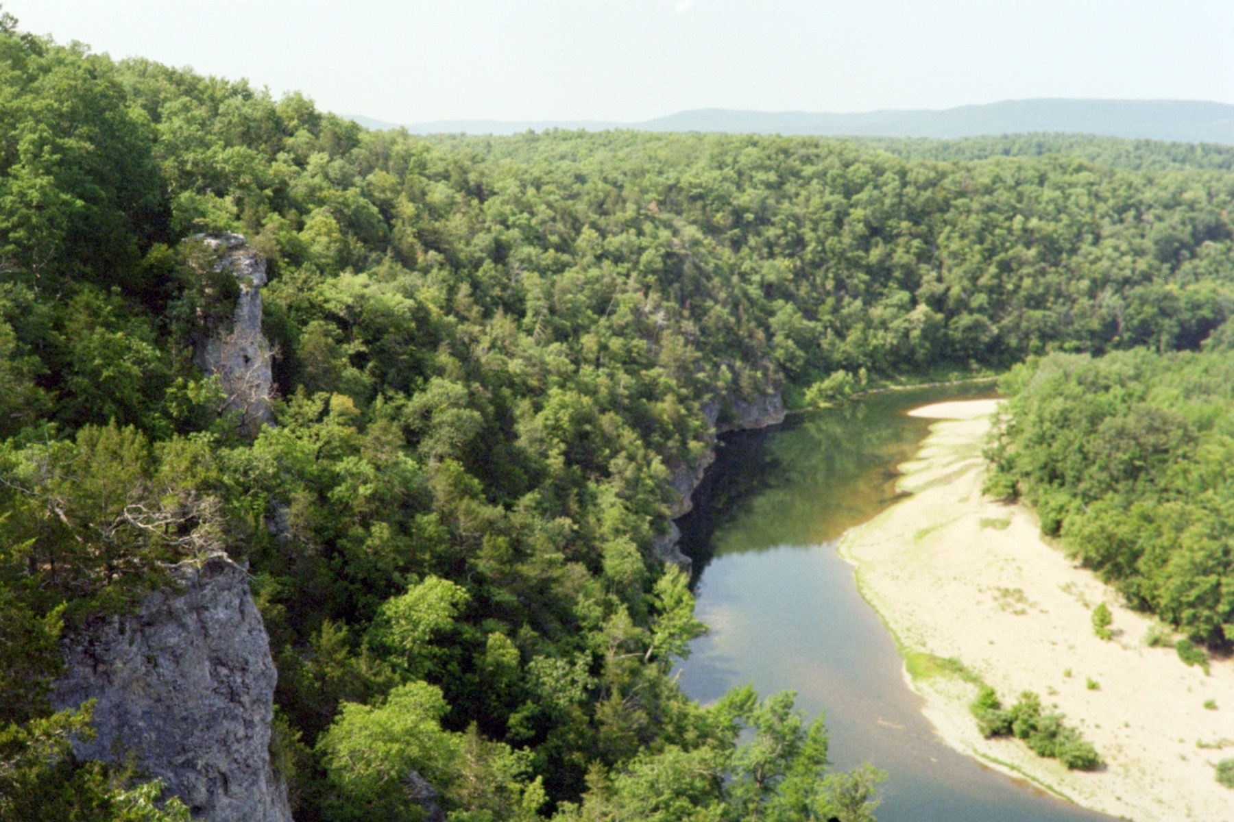
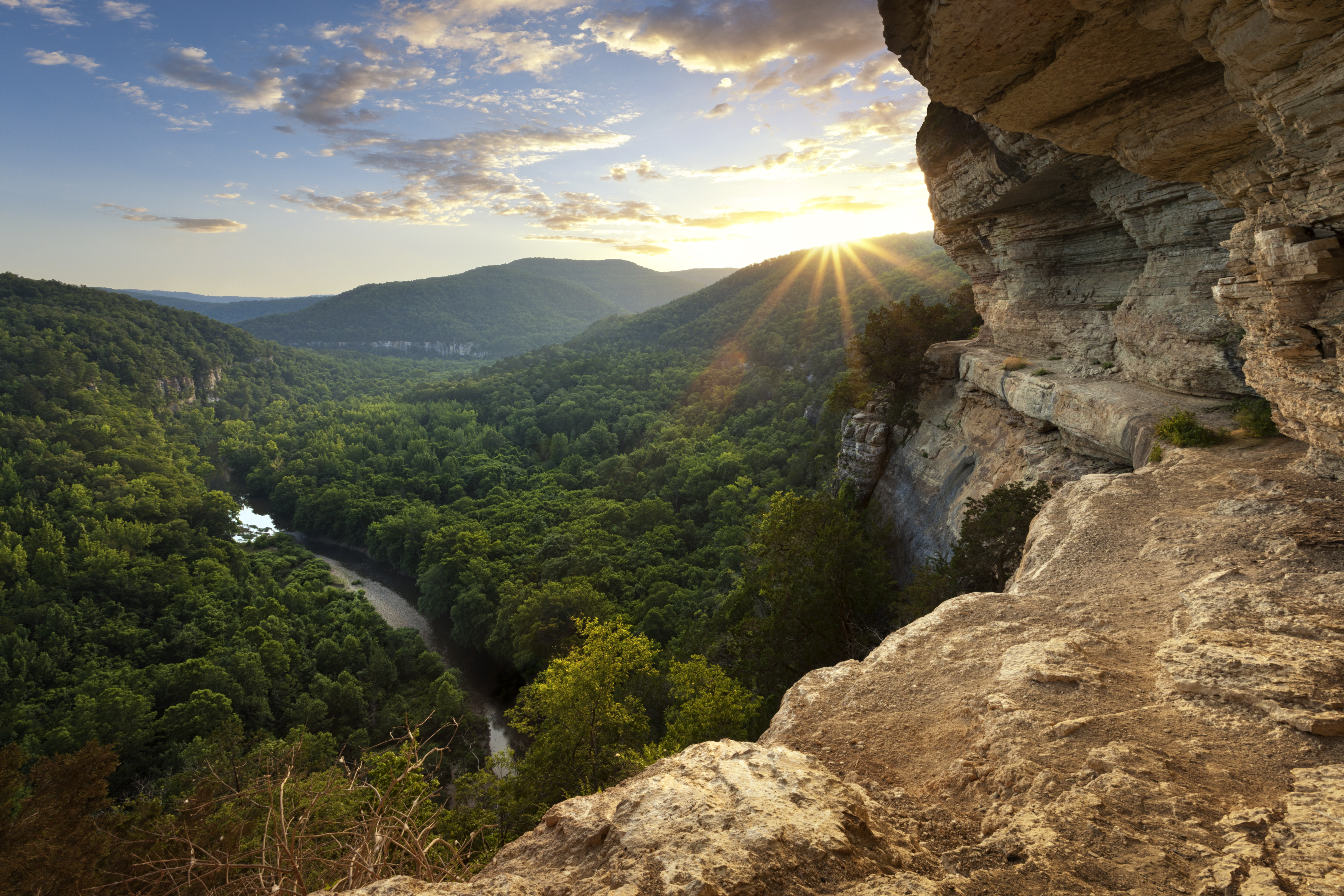
The expansive view of the Ponca Wilderness and Buffalo River from Big Bluff Photo: Aaron Bates
A rugged, strenuous hike through the Ponca Wilderness to one of Buffalo National River's most expansive vistas.
The Centerpoint Trail begins in the heart of the Ponca Wilderness, gradually winding down an old wagon road descending nearly 1,300 ft to the Buffalo River. During the descent, the trail offers outstanding panoramic views of the Buffalo River and the rugged Ozark Mountains that surround it. The Centerpoint Trail is considered to be a strenuous hike. The trail is steep in areas, especially on the hike out; visitors will need to plan to take the entire day to hike this trail due to the rough wilderness terrain. The trail intersects with many of the other trail systems in the Ponca Wilderness creating multiple spur trails for the more adventurous hiker. The spur trails connect the Centerpoint trail with the Chimney Rock Trail, Sneeds Creek Trail, Big Bluff Trail, Compton Loop Trail, and Hemmed-in Hollow Trail. The "Goat Trail" to Big Bluff is narrow and dangerous; visitors should proceed with extreme caution when hiking this section of trail. The Centerpoint Trail also offers a less strenuous hike to the popular Hemmed-in Hollow Falls. Visitors will still need to allow an entire day to complete the hike to Hemmed-in Hollow Falls via the Centerpoint Trail. Note: Backcountry camping is permitted along the Centerpoint Trail and within the Ponca Wilderness, but not on Big Bluff.
WARNING: The Centerpoint Trail/Big Bluff is one of the most frequent Search & Rescue (SAR) locations at Buffalo National River. Steep and strenuous trail conditions, coupled with a hiker's lack of preparation, can lead to dehydration, overexertion/exhaustion, and heat related illness.
Pets Pets are not permitted on trails in the Ponca Wilderness of Buffalo National River. Documented service animals welcome.
Accessibility This trail features steep, rocky, and uneven terrain. Service animals permitted.
2.8 mi one way · about 450 ft of climbing · 509 ft–911 ft
Hike the Indian Rockhouse Trail the Park Service's write-up
3-5 Hours · no dogs
Start Indian Rockhouse Trailhead
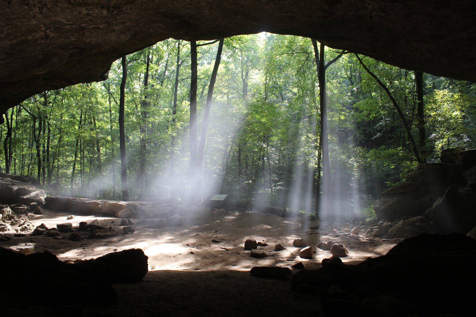
Sunlight streams into the Indian Rockhouse Photo: NPS/A. Smith
At 3.5 miles, round-trip, the Indian Rockhouse Trail meanders past a sinkhole, waterfall, mine prospect, Panther Creek, sculpted bedrock and a quarry. Many of these geologic features are typical of a karst landscape.
People have been visiting this bluff shelter as far back as 7,000 BC. Coming to the attention of the Carnegie Institute, excavations were carried out in the 1930s, revealing an array of stone tools, basketry, and food remains. The site has been protected from all excavation and collection since becoming part of Buffalo National River in 1972 so that the remains of this unique site can be preserved for future generations.
The Indian Rockhouse is a moderate to strenuous trail with steep inclines/declines. Pets are not permitted on this trail.
Accessibility This is a narrow trail that traverses steep, uneven, and rocky terrain. Documented service animals are permitted.
Hike the Lost Valley Trail the Park Service's write-up
1-3 Hours · no dogs
Start Lost Valley Trailhead
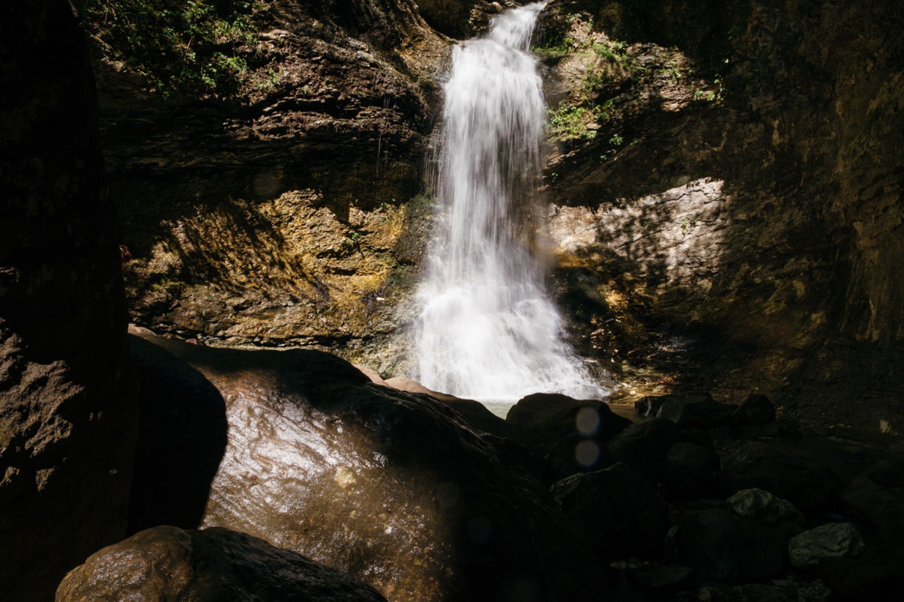
Eden Falls on the Lost Valley Trail Photo: Terra Fondriest
Lost Valley Trail is located near the Boxley Valley Historic District on Hwy. 43 and is the most popular hike at Buffalo National River. Lost Valley Trail is an easy to moderate hike with occasional benches on the first portion of trail for resting and watching wildlife. Lost Valley Trail leaves the parking area and gently winds up the box canyon, passing beneath groves of American beech trees. The trail leads you to an emerald-blue pool of water with an 8-ft waterfall flowing out of a small opening in the bluff, known as the Natural Bridge. The trail continues up stone steps, winding along the Clark Creek drainage giving way to a massive 200-ft bluff shelter, known as Cob Cave. The gem of the hike is Eden Falls. The picturesque Eden Falls cascades 53 feet over towering cliffs offering visitors a firsthand view of what the Ozark Mountains have to offer. Visitors can either loop back around to the main trail or continue on a spur trail to the peak of Eden Falls. The trail leading to Eden Falls is rugged and steep; visitors should use extreme caution when taking this route. The trail winds up the bluff line to a 200-ft cave, and then gives way to a 25-ft waterfall inside. A flashlight and some agility will be needed to view the waterfall in the cave. The trail ends here at the mouth of the cave.
WARNING: The Lost Valley Trail is one of the most frequent Search & Rescue (SAR) locations at Buffalo National River. Slippery rocks and hazardous cliff areas cause many slips, trips, and falls annually. For your safety and enjoyment, please exercise caution and stay on designated trails.
Pets Pets are not allowed on the Lost Valley Trail. Documented service animals are permitted.
Accessibility The first half mile of this trail is wide, smooth, and level except for a creek crossing right at the beginning. Service animals permitted.
1.9 mi one way · about 250 ft of climbing · 595 ft–873 ft
HistoryCampgroundsVisitor centers
Along the wayTyler Bend Drive-in CampsitesCollier Homestead BarnCollier Homestead CisternCollier Homestead HouseCollier Homestead SmokehouseTyler Bend Visitor Center
Hike Tyler Bend Trails the Park Service's write-up
1-4 Hours · dogs allowed
Start Riverview trailhead near Tyler Bend Visitor Center
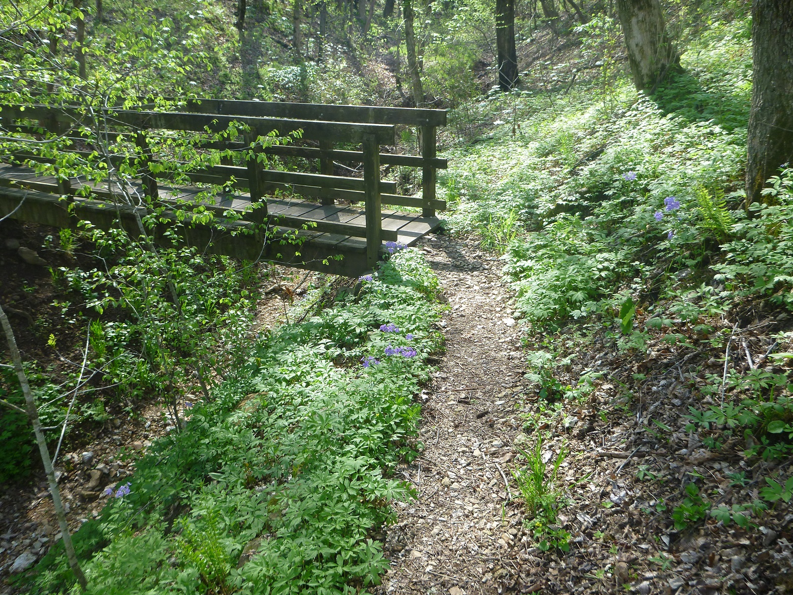
A wooden footbridge crosses a drainage along the Riverview Trail. Photo: NPS
The Riverview, Spring Hollow, Buck Ridge, and Rock Wall Trails can be accessed from the Tyler Bend Visitor Center and Campground area. Leashed dogs are allowed on all of these except the Riverview Trail. These trails form a network of trails that connect to the Buffalo River Trail. Hikers can plan loops of varying lengths to suit their time and ability. Two highlights on this trail system include the Sod Collier Homestead and the view of the confluence of Calf Creek and the Buffalo River from the Riverview Trail.
Accessibility The trail to Collier Homestead is flat and wide. Wheelchairs and strollers can be used. Trails are not ADA compliant.
1.6 mi one way · about 200 ft of climbing · 491 ft–667 ft
HistoryPicnic areas
Along the wayBlacksmith ShopMorning Star Mill RuinsNew White Eagle Mill RuinsOld White Eagle Mill RuinsRush SmelterWarehouse RuinsRush Pavilion
Hike the Rush Mine Level Trail and Morning Star Interpretive Loop the Park Service's write-up
1-4 Hours · no dogs
Start Rush Interpretative and Mine Level Trailhead Parking Lot
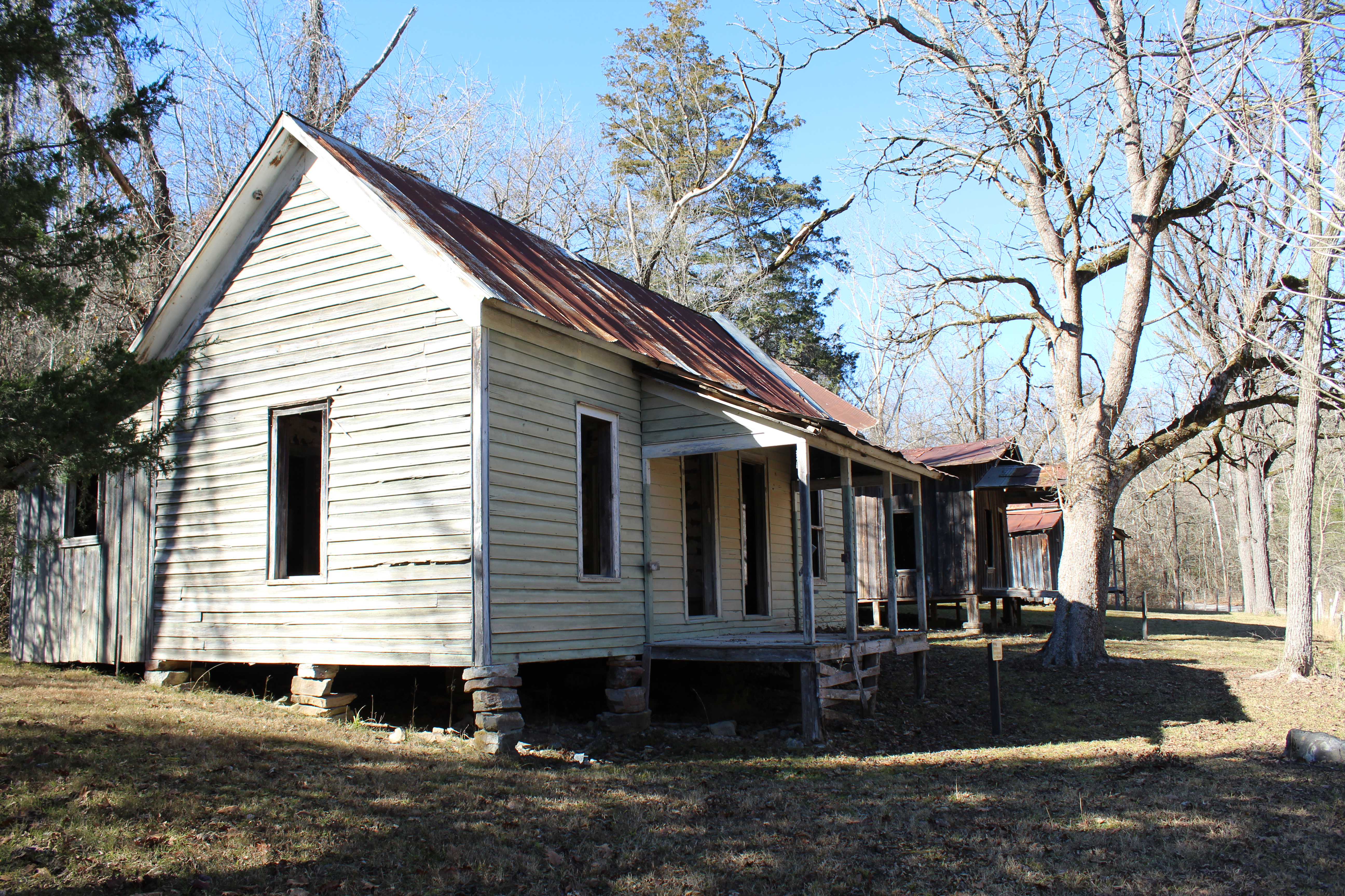
A weathered old house stands in the Rush Historic District. Photo: NPS
In the 1880s zinc ore was discovered along Rush Creek and soon the rush to Rush began. Claims were staked out along the Rush Valley and neighboring Clabber Creek. A mining boom was well underway by the 1890s as miners, investors, and service industries arrived from all over the country. The most famous of the Rush mines was the Morning Star Mine, which awed observers with its modern quarry production of ore. A community of homes and businesses developed along Rush Creek and endured until the 1960s. Come hike in these hills and through the valley and imagine what it would have been like to work and live here.
The .25-mile hike around the Morning Star Interpretive Loop is a great way to learn more about the zinc mining and history of Rush Valley. The Morning Star Interpretive Loop begins at a small parking lot, just past the historic homes, general store, smelter, and Rush Creek crossing. This gravel path is steep for short sections but is generally a great family-friendly walk.
The Mine Level Trail begins at the top of the Morning Star Interpretive Loop. This 1.5-mile trail, one way, is very steep at the beginning, but levels out as it winds past old mine entrances, which are fenced off to protect visitors and resources. Appreciation of the strength and stamina it must have taken to live and work in this valley can be gained as one hikes around Rush. The Mine Level Trail ends at the river access parking lot.
Accessibility This trail traverses steep, rocky, and uneven terrain. Service animals permitted.
Hike to Hemmed-in Hollow · 4-6 Hours · no dogs The picturesque Hemmed-in Hollow Falls cascades nearly 210 feet over rugged Ozark bluffs, making it the highest waterfall between the Rockies and the Appalachians. This waterfall only flows after a considerable amount of rain, so please be mindful of recent precipitation before you attempt this difficult hike. The Hemmed-in Hollow Trail is an extremely steep and strenuous trail that will humble even the most experienced hiker.
Hike to Hideout Hollow · 1-3 Hours · no dogs The Hideout Hollow Trail leads to a rock shelter that was once inhabited by a group of World War I draft dodgers called The Slacker Gang. The Slacker Gang was made up of 9 young men from the Cecil Cove area who refused to join the army and decided to go into hiding in the wilderness. The 9 young men remained in hiding for months before surrendering to the draft in 1918.
About these trails
The lines are the National Park Service's public trails layer, the trailheads and the waterfalls, views, peaks and historic places along them the Service's public points of interest, read 2026-10-14 and simplified for the map. The write-ups are the Service's own "things to do", unedited. Heights come from USGS 3DEP through Terrain Tiles on AWS (Mapzen/Tilezen), read along each line and rounded; a short trail on steep ground can be off by a few tens of feet. Closures change: check the park's own site before you go.