
River View Trail
HistoryCampgroundsVisitor centers
Along the way Tyler Bend Drive-in Campsites Collier Homestead Barn Collier Homestead Cistern Collier Homestead House Collier Homestead Smokehouse Tyler Bend Visitor Center
Hike Tyler Bend Trails the Park Service's write-up
1-4 Hours · dogs allowed · season Hiking is more popular in the fall, winter and early spring before the ticks become prolific.<br /> The climate of the Buffalo River basin is characterized by long, hot summers and relatively short, mild winters. Temperature records in the area have a low of -13<sup>0</sup> F to a high of 107<sup>0</sup> F. Rainfall averages 46 inches annually. The greatest amounts of precipitation occur in winter and spring, with average winter snowfall of 12 inches. Dryer months are July through October. Both moderately intense local storms and storms with heavier rainfall can last several days. Larger storms are more likely to occur in spring; however, they can occur any time during the year.
Start Riverview trailhead near Tyler Bend Visitor Center
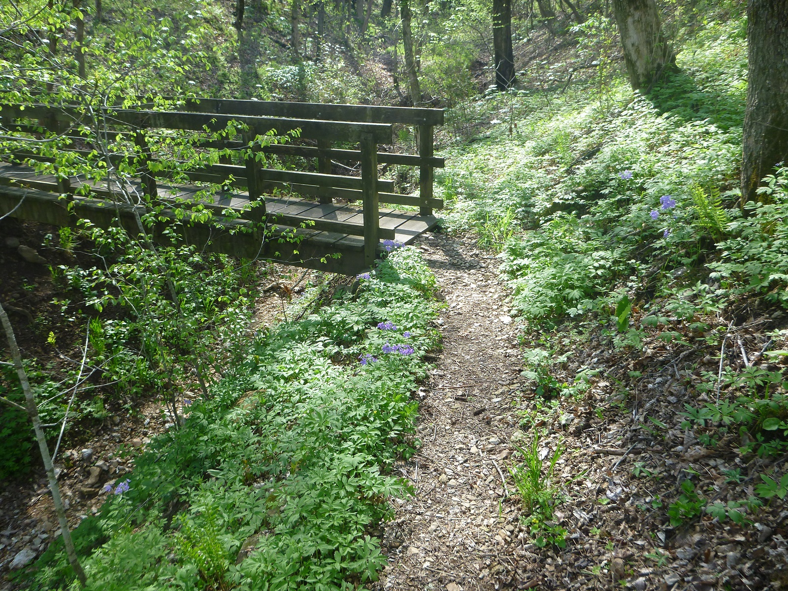
The Riverview, Spring Hollow, Buck Ridge, and Rock Wall Trails can be accessed from the Tyler Bend Visitor Center and Campground area. Leashed dogs are allowed on all of these except the Riverview Trail. These trails form a network of trails that connect to the Buffalo River Trail. Hikers can plan loops of varying lengths to suit their time and ability. Two highlights on this trail system include the Sod Collier Homestead and the view of the confluence of Calf Creek and the Buffalo River from the Riverview Trail.
Accessibility The trail to Collier Homestead is flat and wide. Wheelchairs and strollers can be used. Trails are not ADA compliant.