
Cecil Cove Trail
History
Along the way Erbie Church Jones Cemetery
Trailhead Cecil Cove Trailhead 1,022 ft Drive there
Hike the Cecil Cove Loop 7 mi loop · the Park Service's write-up
5-8 Hours · no dogs · season After major rain events (primarily in springtime), creek crossings may be impassable and dangerous.
Start Cecil Cove Trailhead
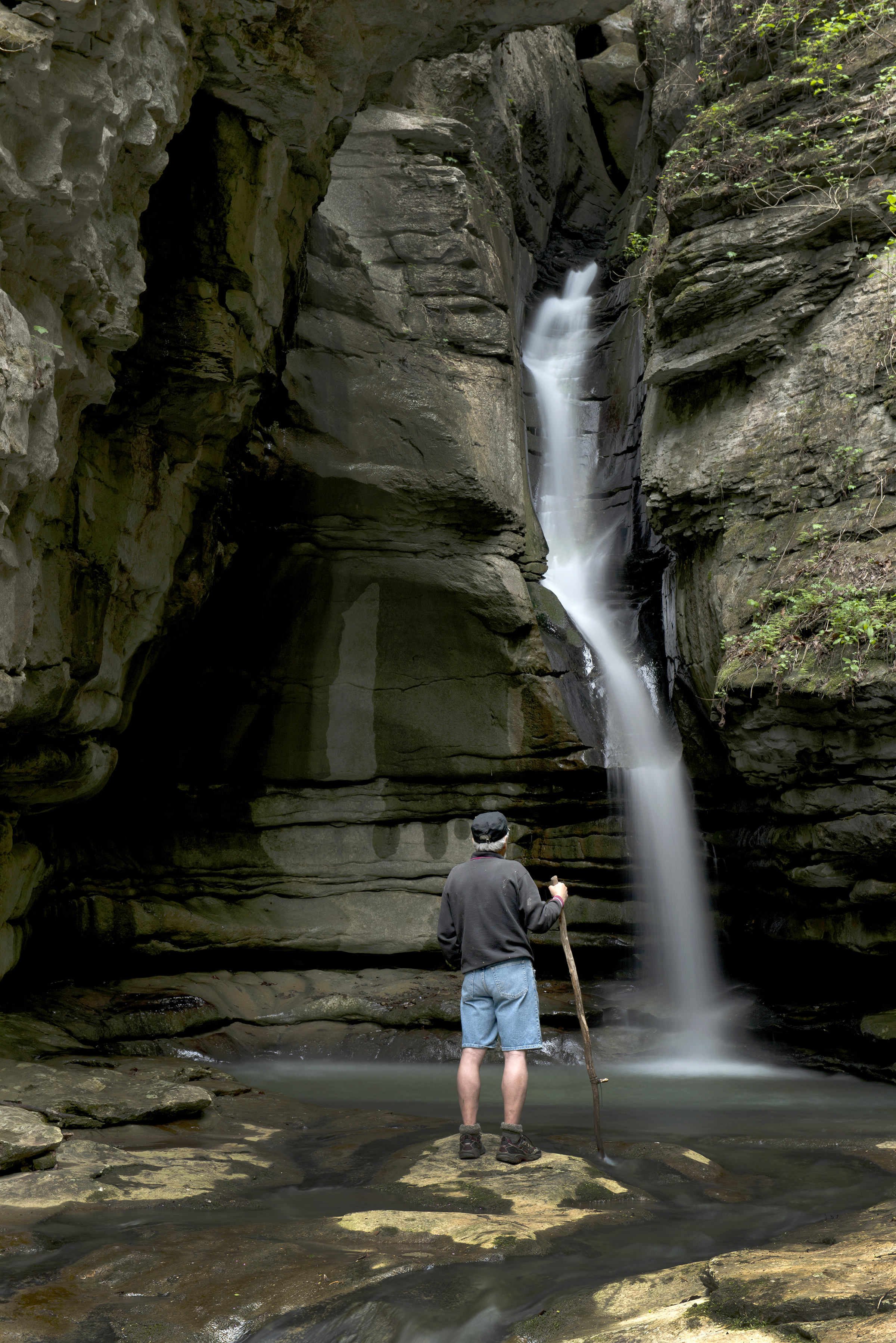
The Cecil Cove Trail begins near the historic Erbie Church, and begins a gentle descent down an old wagon road. The trail winds through the wooded valley following Cecil Creek creating a nice moderate hike for visitors. The trail crosses the Cecil Creek 5 times along this first section of trail, so the creek may not be passable during rainy season due to high water. The trail continues at a nice moderate pace for the first 2.0 miles. The Cecil Cove Trail then begins a steep ascent up the mountain, climbing more than 500 ft. The trail passes old home sites, historic cemeteries, and provides beautiful scenic views during leaf off. The upper section of the trail is known to be fairly muddy throughout much of the year, especially during rainy season. The trail travels another 3.0 miles and intersects with the Compton-Erbie Road. The last section of the trail follows the Compton-Erbie Road down the mountain approximately 2.0 miles, ending at the trailhead where you began.
CAUTION: Starting in 2021 the Cecil Cove Trail experienced and continues to experience landslides. Please proceed on the trail at your own risk and use extreme caution when hiking in this area.
Pets Pets are not allowed on the Cecil Cove Loop. Service animals are permitted.
Accessibility This trail traverses steep, rocky, uneven terrain and has multiple creek crossings. Service animals permitted.