
Buffalo River/Ozark Highland Trail
History
Along the way Slay Cemetery
Hike Shine Eye to Gilbert the Park Service's write-up
4 Hours · no dogs · season Hiking is most popular in fall, winter and spring when ticks are less abundant.The climate of the Buffalo River basin is characterized by long, hot summers and relatively short, mild winters. Temperature records in the area have a low of -13<sup>0</sup> F to a high of 107<sup>0</sup> F. Rainfall averages 46 inches annually. The greatest amounts of precipitation occur in winter and spring, with average winter snowfall of 12 inches. Dryer months are July through October. Both moderately intense local storms and storms with heavier rainfall can last several days. Larger storms are more likely to occur in spring; however, they can occur any time during the year.
Start First parking lot for Shine Eye to Gilbert trail
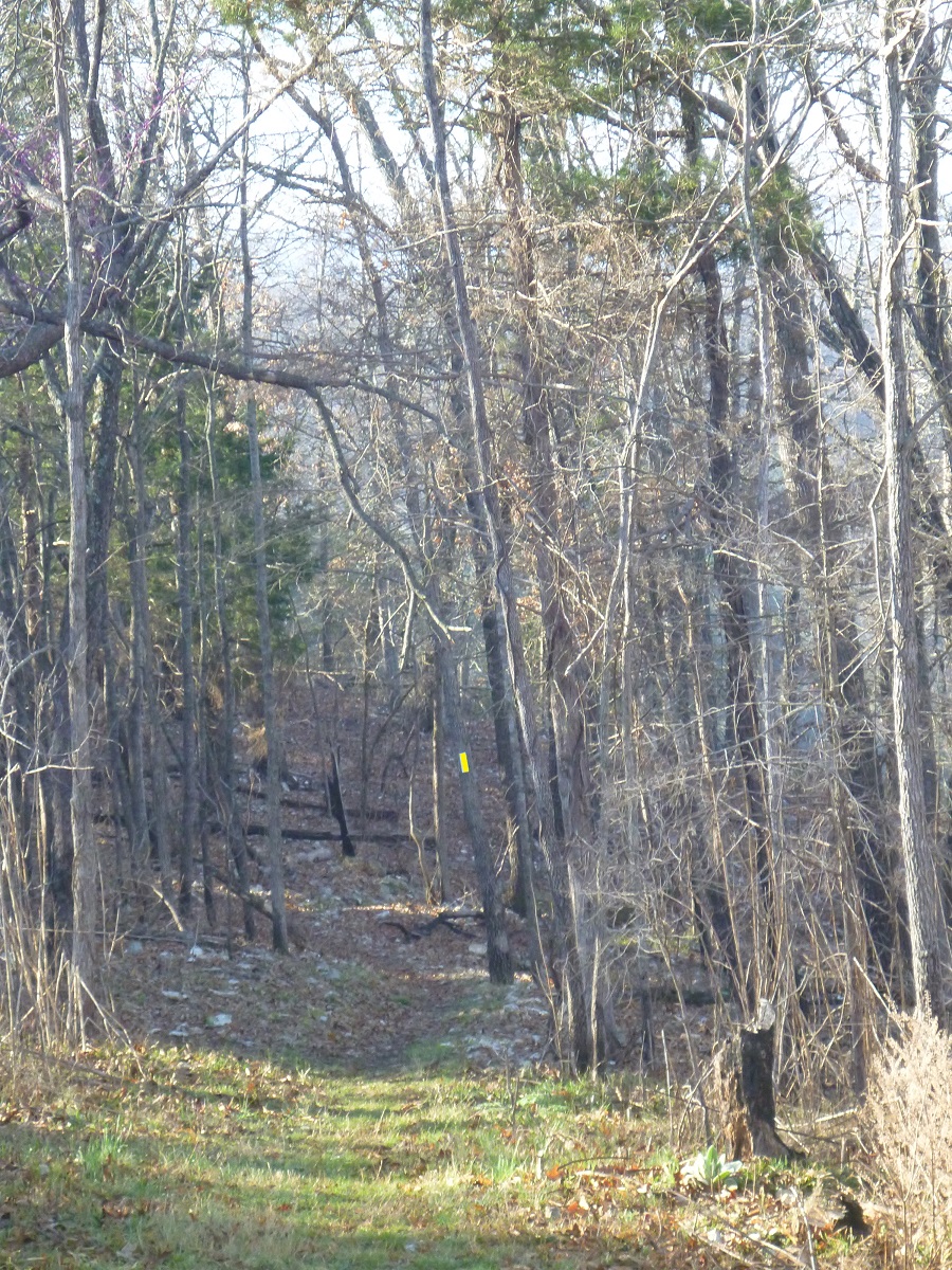
The Shine Eye to Gilbert Trail follows the north side of the river between the Highway 65 bridge and the small town of Gilbert. This is a hiker and horse trail marked with yellow blazes. It follows Long Bottom Bluff around Lane Bend into Gilbert.
Accessibility Trail is narrow, rocky and steep in places. Trail is not ADA compliant.