
Buffalo River
History
Along the way Collier Homestead Cistern Collier Homestead House Collier Homestead Smokehouse
Hike the Beaver Jim Villines Homestead Trail the Park Service's write-up
15-60 Minutes · dogs allowed
Start Ponca Access
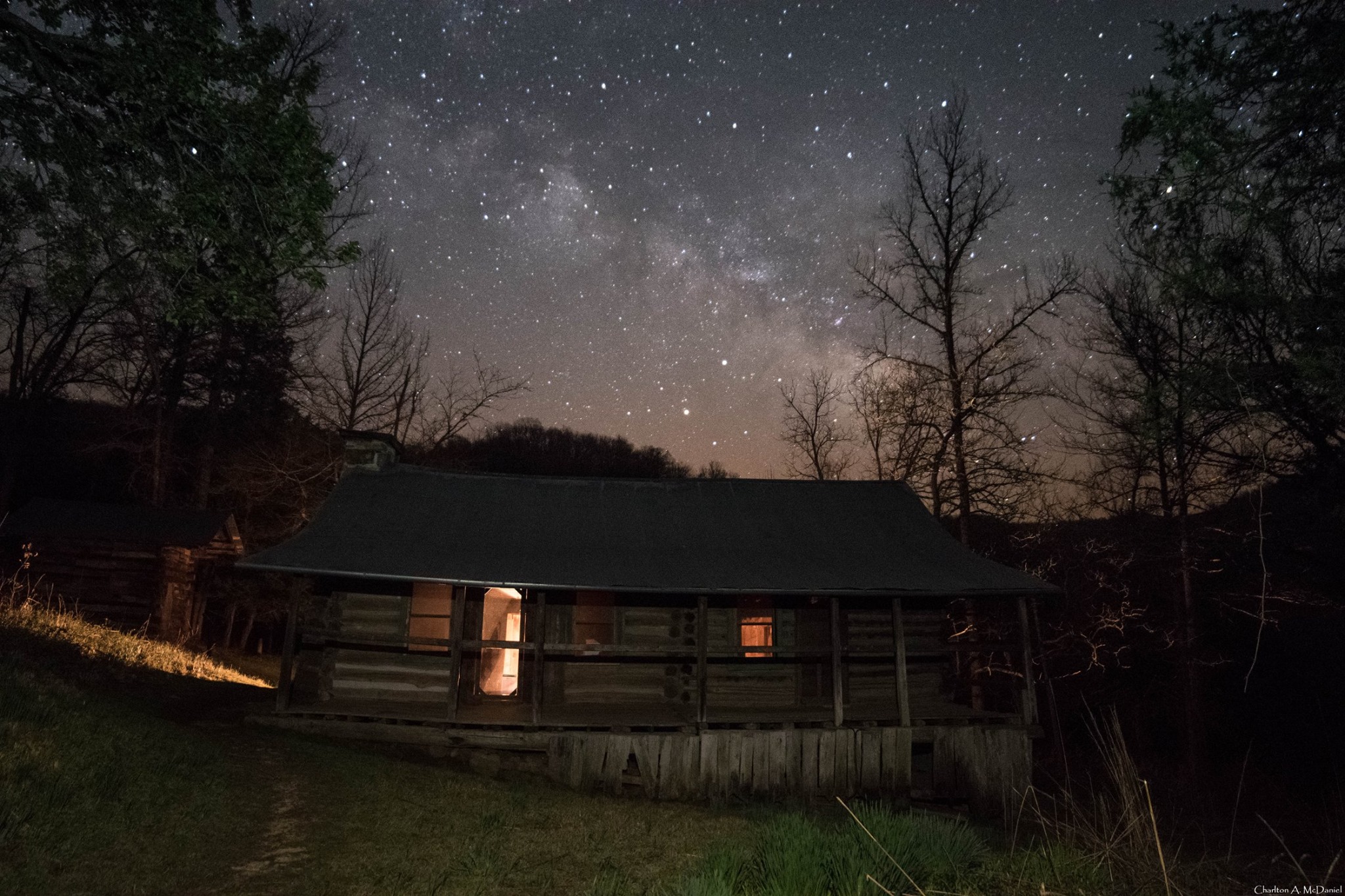
This short, interpretive loop begins at the Ponca Access of the Buffalo River near the intersection of Hwy. 43 and 74. Walk across the low-water bridge (when passable) and follow signs up the hill. This easy trail passes the old homestead and farm buildings of "Beaver" Jim Villines, an early fur trapper and trader in Boxley Valley.
Accessibility This trail has a somewhat steep grade from the Ponca Access to the homestead. Service animals are permitted.
Hike the Buffalo River Trail - Boxley to Pruitt the Park Service's write-up
no dogs
Start Boxley Trailhead
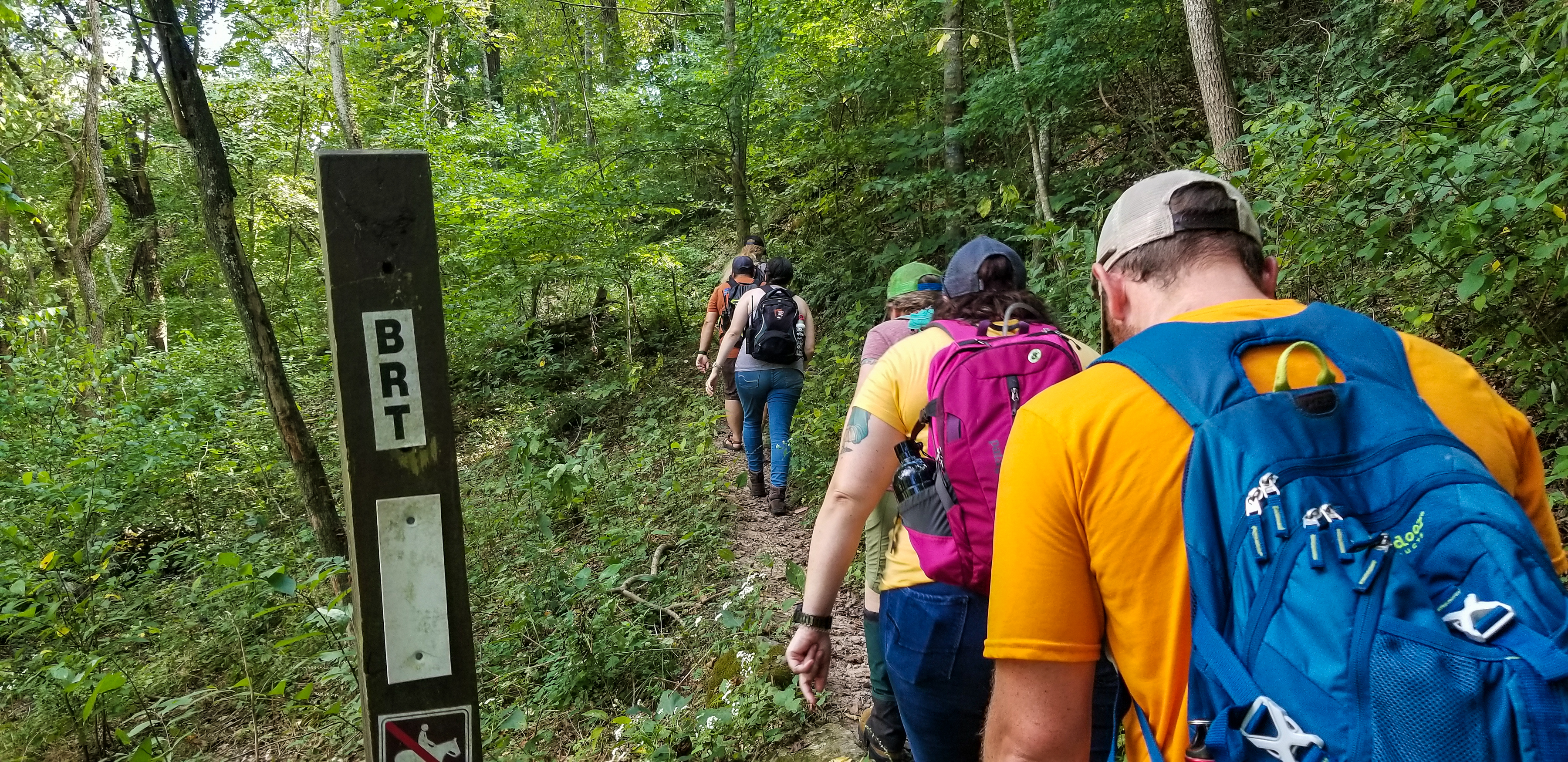
The Buffalo River Trail (BRT) begins near Whiteley Cemetery in Boxley Valley and winds along the bluffs, gravel bars, and banks that cradle the river. The BRT passes scenic overlooks, old home sites, and wild areas, giving visitors a firsthand look at what best characterizes the Buffalo River.
The BRT is a moderate to strenuous hike. Hiking is most strenuous between Boxley Valley and Erbie, where long, steep bluff lines lead to spectacular views of the river and all the beauty that surrounds it. Downstream of Erbie, the trail gradually gives way to a gentler terrain that is more forgiving to hikers. Trailheads to the BRT are located at the south end of Boxley Valley, Ponca Low Water Bridge, Steel Creek, Kyle's Landing, Erbie, Ozark, and Pruitt.
Pets Pets are not allowed on trails in the Ponca Wilderness at Buffalo National River. Documented service animals are permitted.
Accessibility This is a narrow trail that traverses steep, uneven, and rocky terrain. Documented service animals are permitted.
Hike the Buffalo River Trail - Woolum to Dillards Ferry the Park Service's write-up
24-48 Hours · no dogs · season While the trail is open year-round, rain and snow may make sections of this trail impassable. Please consider recent weather and coming weather before attempting this trail.
Start Multiple access points
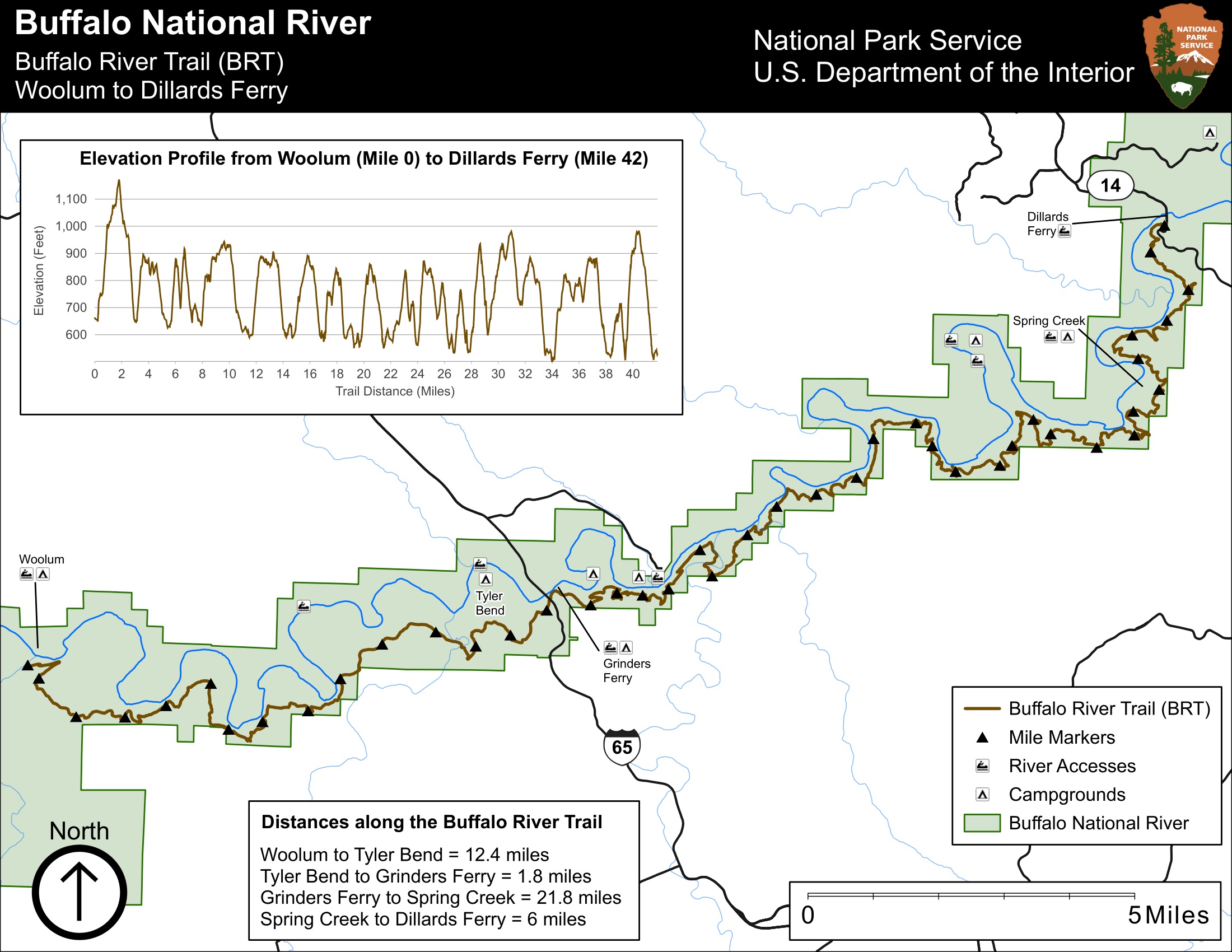
The Buffalo River Trail follows along the south side of the river from Woolum to Dillards Ferry for a little more than 42 miles. The trail is moderate/difficult due to the length and many inclines and steep switchbacks. This trail incorporates the newly completed stretch from Griders Ferry to Dillards Ferry. If river levels are low, you will not have any water in side drainage's so you will need to pack in enough water for your hike.
Pets Service animals are permitted.
Accessibility This trail can be narrow, steep, and rocky in many places. This is not an ADAM compliant trail. Service animals are permitted.
Hike the Buffalo River Trail - Woolum to Tyler Bend the Park Service's write-up
12 Hours · no dogs · season Hiking is most popular in fall, winter and spring when ticks are less abundant.<br /> <br /> The climate of the Buffalo River basin is characterized by long, hot summers and relatively short, mild winters. Temperature records in the area have a low of -13<sup>0</sup> F to a high of 107<sup>0</sup> F. Rainfall averages 46 inches annually. The greatest amounts of precipitation occur in winter and spring, with average winter snowfall of 12 inches. Dryer months are July through October. Both moderately intense local storms and storms with heavier rainfall can last several days. Larger storms are more likely to occur in spring; however, they can occur any time during the year.
Start Buffalo River Trail, Woolum Trailhead
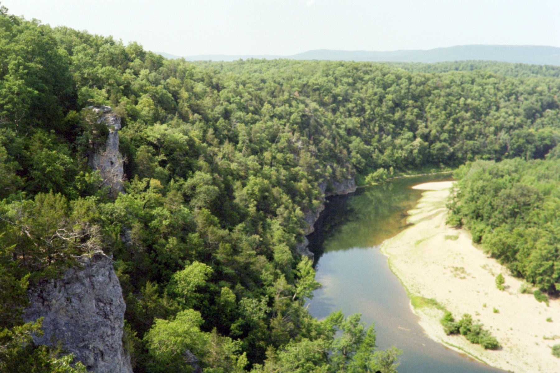
The Buffalo River Trail follows along the south side of the river from Woolum to Tyler Bend for a little more than 11 miles. The trail is moderate with gradual inclines and a few steep switchbacks. You will be rewarded with great views of the river from Dave Manes, Whisenant, and Peter Cave Bluffs. If river levels are low, you will not have any water in side drainages so you will need to pack in enough water for your hike.
Accessibility Trail is narrow and rocky in places and follows along high cliffs. This is not an ADA compliant trail.