
Buffalo Point Campground Trails
CampgroundsVisitor centersRanger stations
Along the way Buffalo Point B Loop Buffalo Point Lower Contact Station Buffalo Point Ranger Station Buffalo Point Visitor Contact Station
Hike the Buffalo Point Campground Trails the Park Service's write-up
1-4 Hours · dogs allowed
Start Overlook and Indian Rockhouse Trailhead
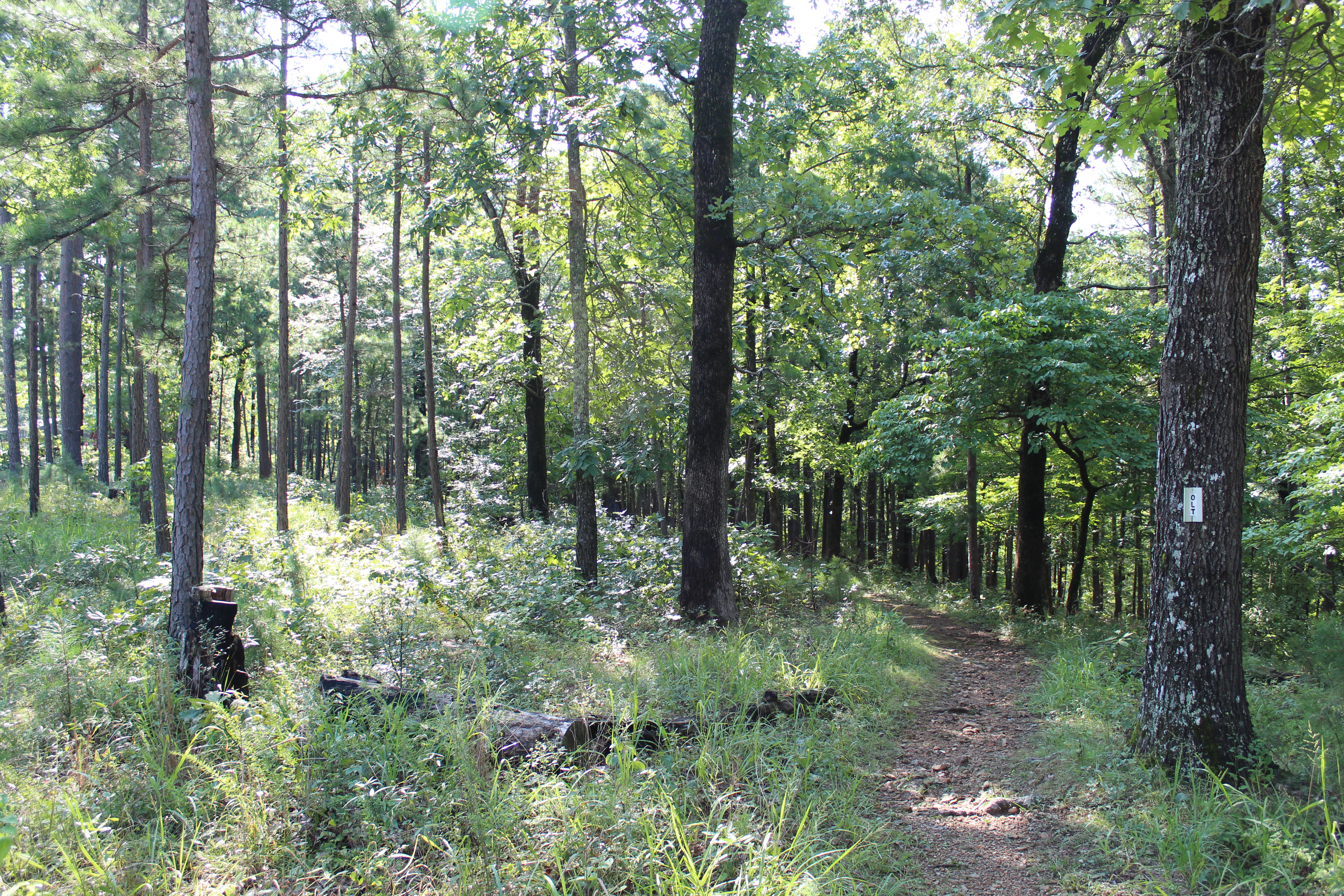
The Buffalo Point Campground Trail system is made up of three interconnecting trails: Overlook Trail, Campground Trail, and the Forest Trail. You can begin this trail system from the Indian Rockhouse Trailhead parking area, from A Loop, the Lower Contact Station, or Pavilion #1 (near the group sites). Connecting all trails and making a large loop provides about 3 miles of hiking. Leashed dogs are permited on this trail system.
If you are looking for a short (1.2 miles, toundtrip) and relatively easy hike try the Overlook Trail. The view of the gravel bar at Buffalo Point is stunning from the Overlook Trail.
Accessibility These trails are narrow in places and traverses steep, uneven, and rocky terrain.