
Sheep Creek Connector
Swamp Canyon Loop the Park Service's write-up
3-4 Hours · no dogs
Start Swamp Canyon Overlook
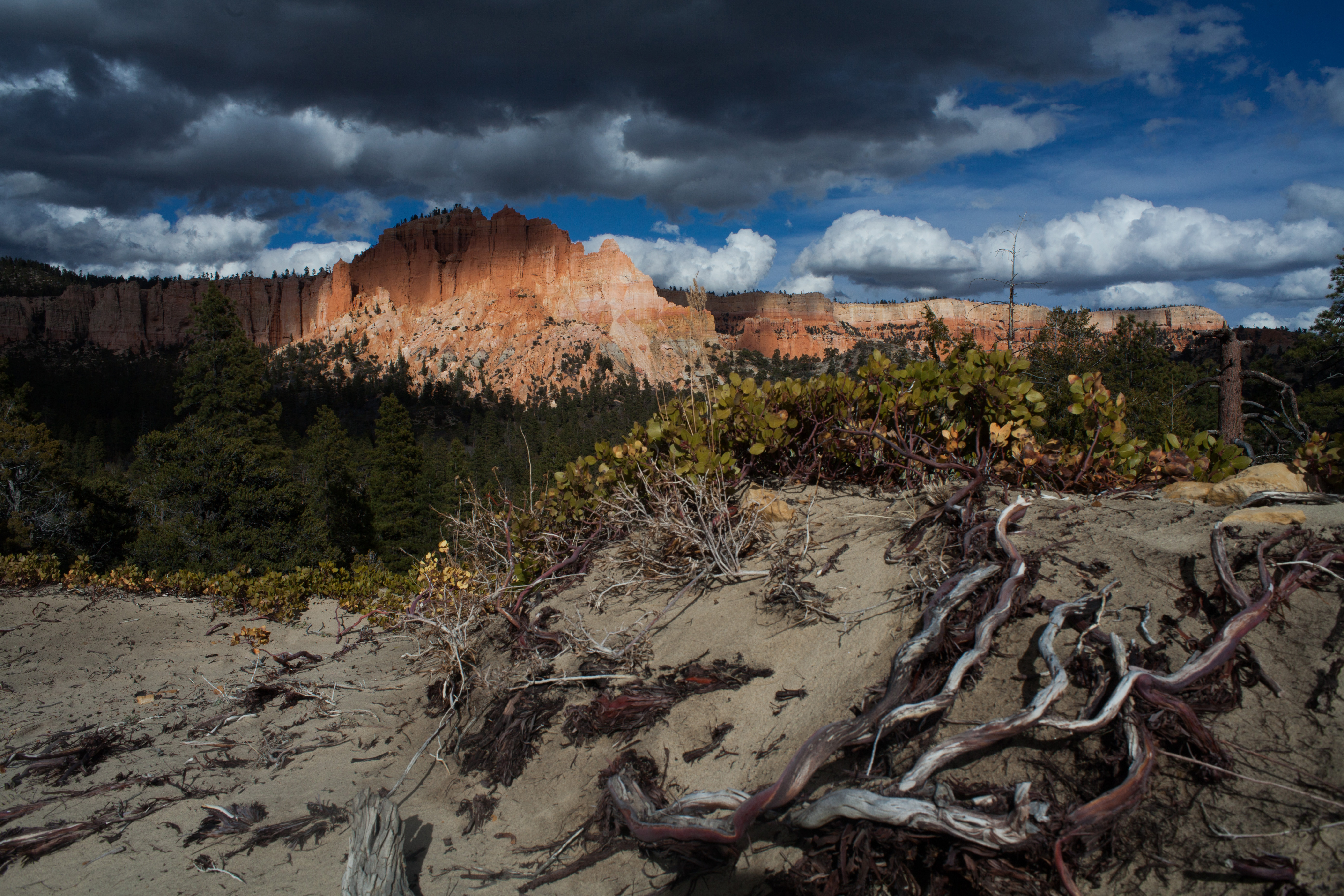
Swamp Canyon appears relatively small and sheltered from the overlook, allowing the viewer to develop a more intimate connection with the landscape than some of the grander viewpoints in the park. The Swamp Canyon Loop, which starts at the viewpoint, is more rugged than the Bryce Amphitheater trails, taking hikers into a more forested backcountry hike. There is less signage on this hike and hikers are encouraged to carry a map.
Trailhead: Swamp Canyon Viewpoint (Mile 6 on the Southern Scenic Drive)
Parking: At Swamp Canyon Viewpoint (check when parking lots are busiest ). Oversized vehicles permitted.
Distance: 4.0 mile (6.4 km)
Approximate Time: 3-4 hours
Elevation Gain: 800 feet (244 meters)
Difficulty: Moderate (less than 1000 feet elevation gain, moderate length)
Services: None.
Shuttle Service: None. Private options may be available.
This trail may be inaccessible during mid-winter due to snow depths ranging from 2-15 ft. (.7-5 m)
Pets are not allowed on this trail. Service animals are allowed in national parks. What is a service animal?
Accessibility This is a backcountry trail with natural terrain and is not considered an accessible trail. Surface Type: Firm Native Sediment Total Ascent: 800 feet (244 meters) Length: 4.0 mi (6.4km) roundtrip Service animals are allowed in national parks. What is a service animal?