
Oak Flat Trail
Visitor centers
Along the way South Rim Visitor Center
Trailhead Oak Flat Loop Trail 8,140 ft Drive there
Hike Oak Flat Trail - South Rim the Park Service's write-up
no dogs
Start Oak Flat Trail
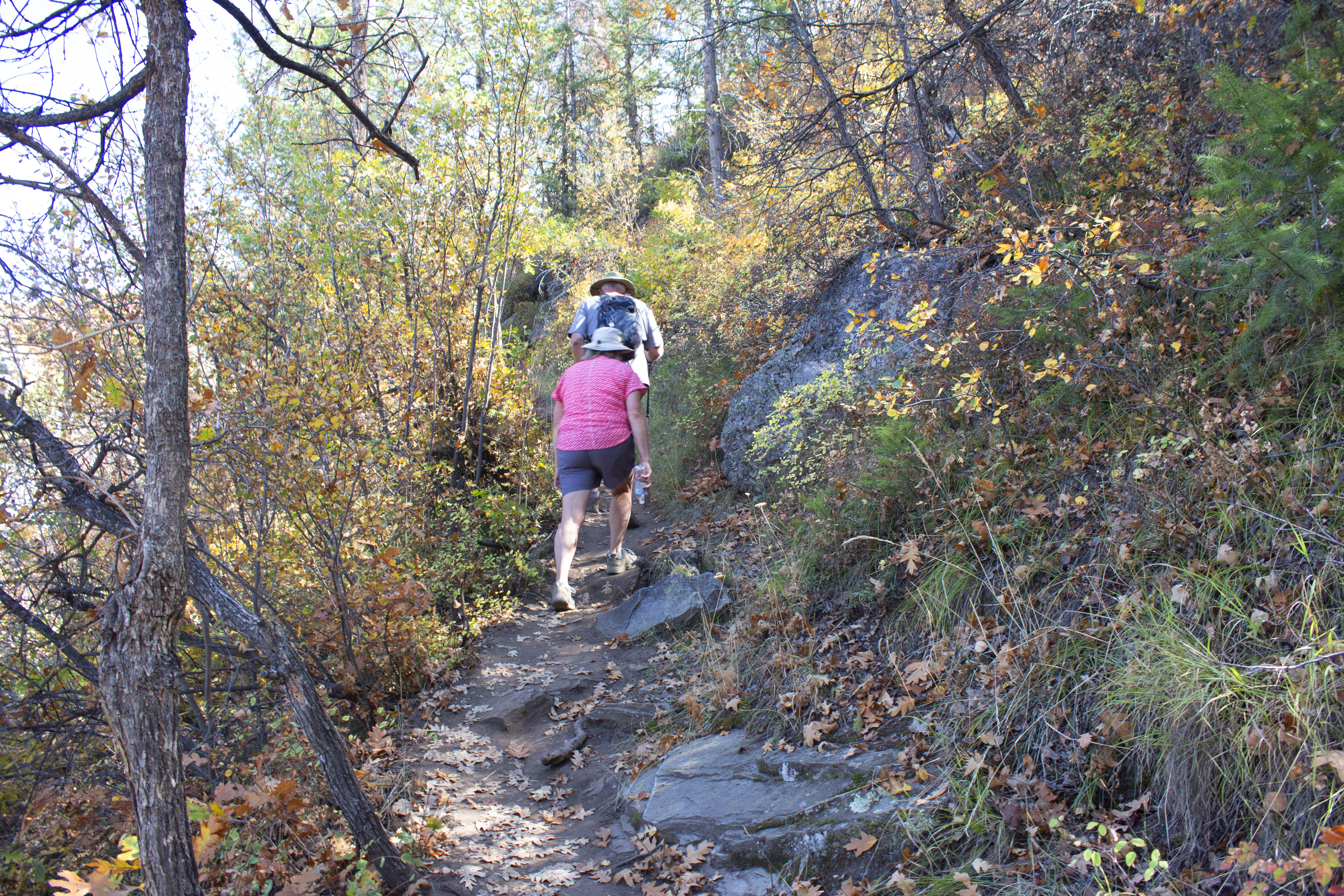
The Oak Flat Loop Trail (built by Student Conservation Association volunteers) offers variety to the hiker who would like to explore below the rim without going all the way to the river. The trail enters the Black Canyon of the Gunnison Wilderness Area and meanders through Gambel Oak, then a forest of Douglas fir, Aspen, and chokecherry.
Parents should be aware that the trail is narrow in places and traverses some steep slopes. Pets are not allowed.
Distance (roundtrip): 1.6 mi (2.6 km)
Difficulty: Moderately strenuous
Pets Pets are not allowed on this trail.
Accessibility This trail is unpaved, steep, and not wheelchair accessible.
Hike Uplands Trail - South Rim the Park Service's write-up
no dogs
Start Uplands Trail
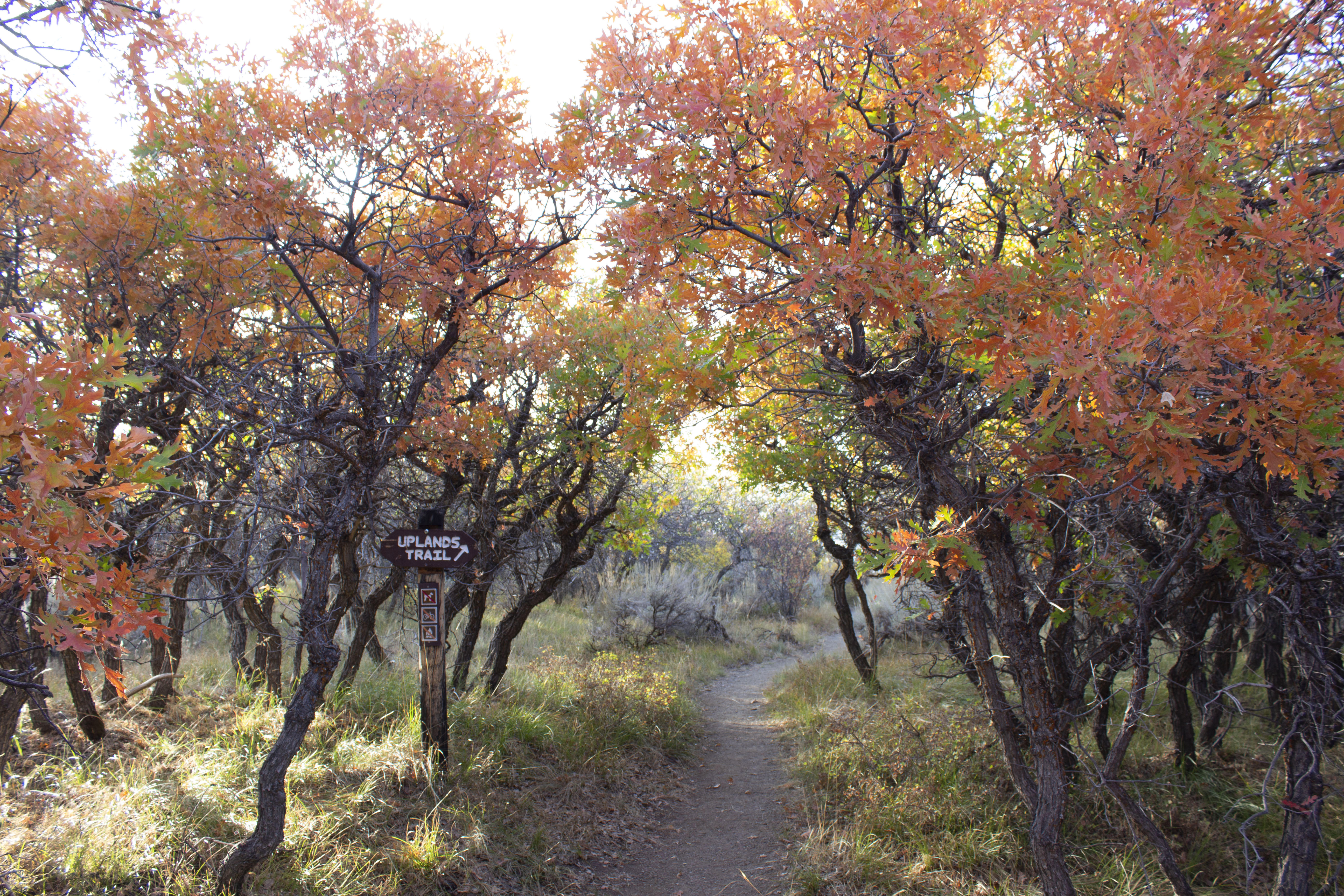
An early morning or late evening walk on the Uplands Trail provides a chance to glimpse wildlife when they are most active.
Although the trail is not near the canyon rim, watch for mammals and birds (or at least their tracks) and views of the West Elk Mountains. Upland vegetation such as Gambel oak, Utah serviceberry, big sage brush, and wildflowers make up the habitat along this hike. Pets are not allowed.
Distance (one-way): .9 mile (1.4 km)
Difficulty: Moderate
Pets Pets are not allowed on this trail.
Accessibility This unpaved, narrow trail is not wheelchair accessible.