Balanced Rock Trail
Views
Along the way Balanced Rock View Overlook

National Park · Colorado
26 named trails · 17 miles · 10 trailheads · 9 with the Park Service's own write-up. The lines, trailheads and points are the Park Service's; the write-ups are the Service's own words; the climbing is read from USGS elevation along each line.
26 trails, A to Z.
Views
Along the way Balanced Rock View Overlook
Views
Along the way Big Island View Overlook
Views
Along the way Cedar Point Overlook
Trailhead Cedar Point Nature Trail 7,887 ft Drive there
dogs allowed
Start Cedar Point Nature Trail
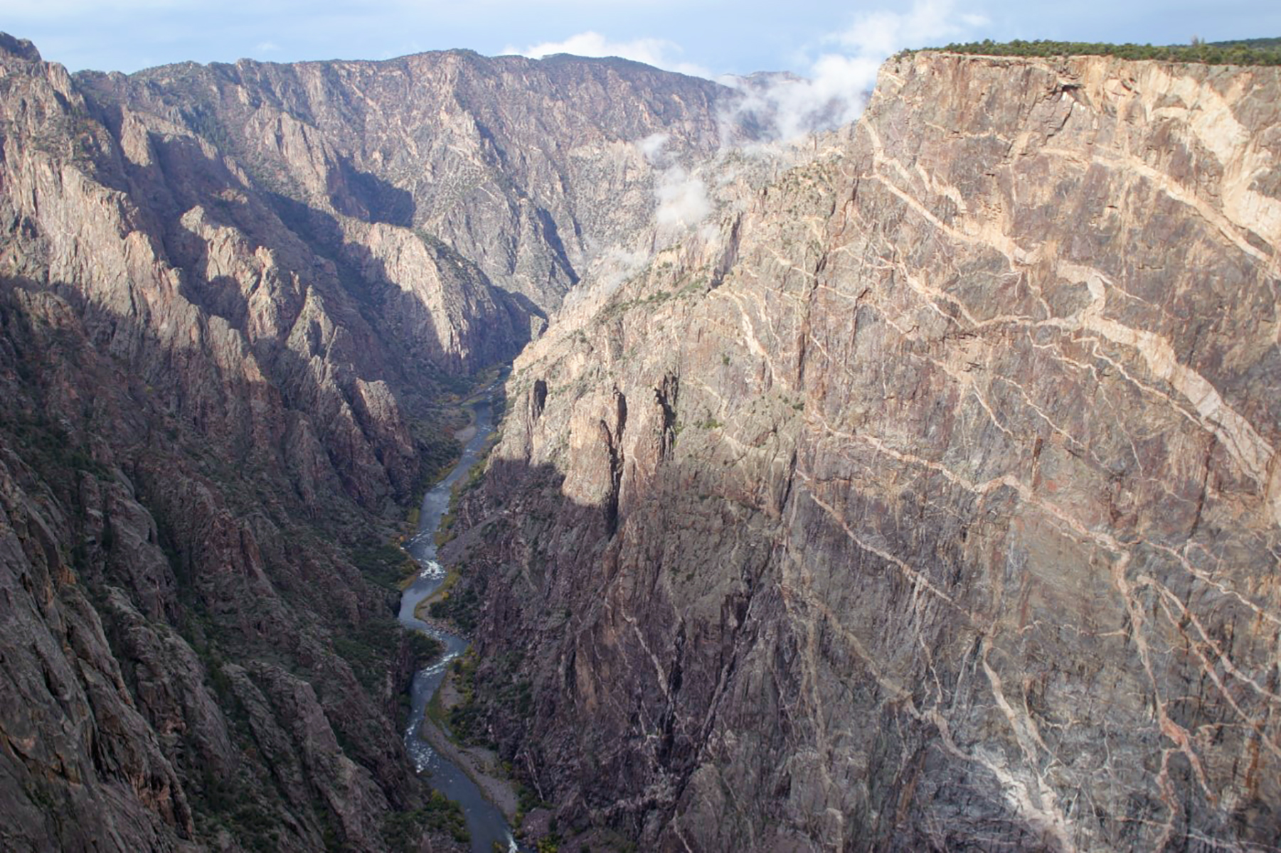
This short, moderately sloped trail offers visitors a chance to brush up on local flora with guideposts describing the various plants along the way. Two overlooks at the end offer breathtaking views of the river. Painted Wall, the tallest cliff in Colorado at 2,250 ft (675 m), is also visible.
Pets on leash are allowed.
Length: .2 mi (.3 km)
Difficulty: Easy
Accessibility This trail is unpaved and not wheelchair accessible.
ViewsCampgrounds
Along the way North Rim Campground Chasm View Nature Trail Overlook Chasm View Nature Trail Overlook Chasm View Overlook
Trailhead Chasm View Nature Trail 7,761 ft Drive there
dogs allowed · Spring, Summer, Fall
Start North Rim Campground
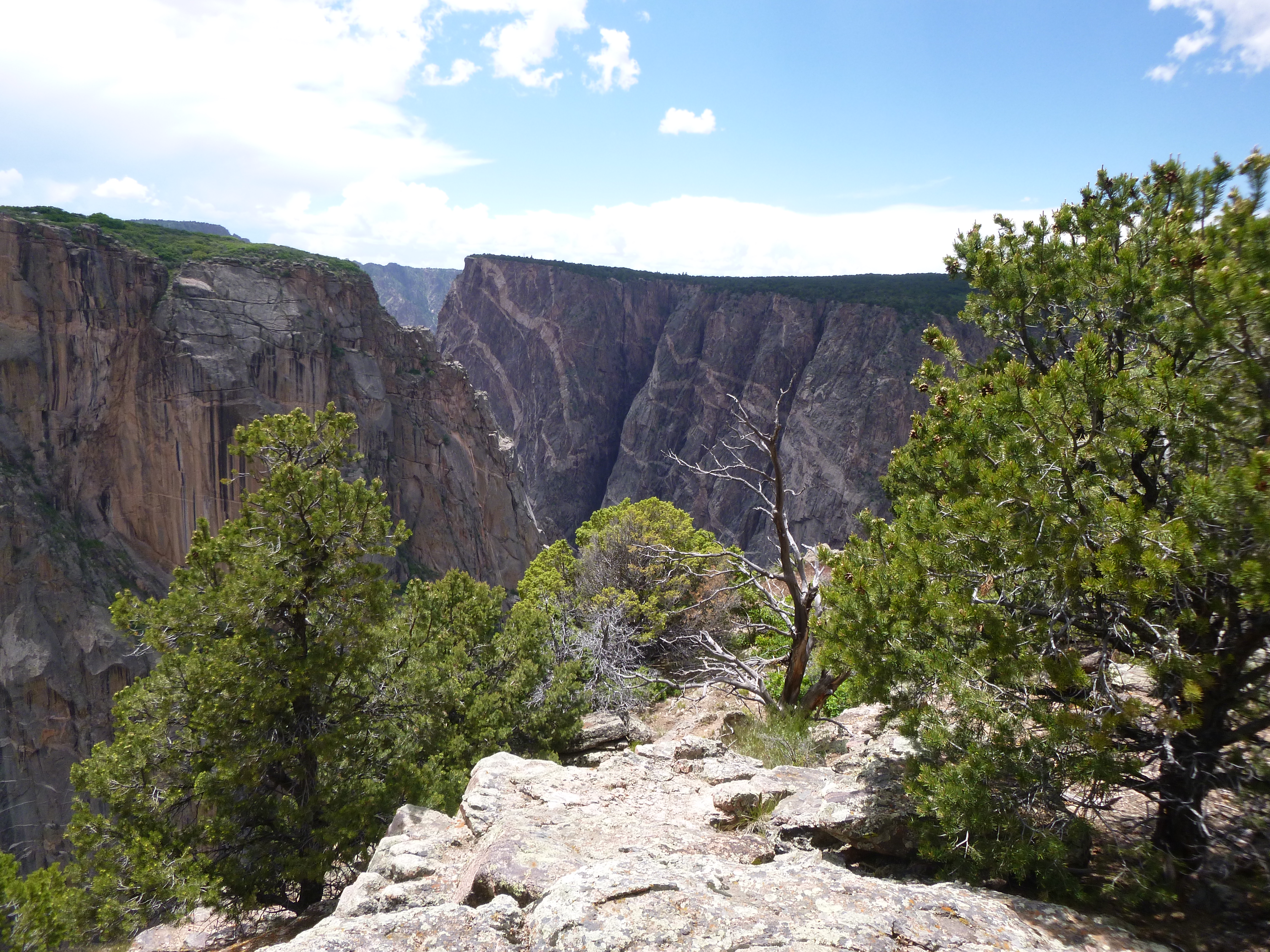
Chasm View Nature Trail breaks out of the pinyon/juniper forest at the North Chasm View, some 1,800 feet (547 m) above the river. Continuing near the rim, the trail reaches a second overlook with excellent views of Painted Wall and Serpent Point.
Pets on leash are allowed. Trail provides birding opportunities for swifts, swallows, and raptors.
Distance (roundtrip): 0.3 mi (0.5 km)
Difficulty: Easy to moderate
Accessibility This unpaved trail is rocky in places and not wheelchair accessible.
Views
Along the way Cross Fissures View Overlook Cross Fissures View Overlook
Views
Along the way Deadhorse Trail Overlook
Trailhead Deadhorse Trail 8,020 ft Drive there
no dogs · Spring, Summer, Fall
Start Kneeling Camel Overlook
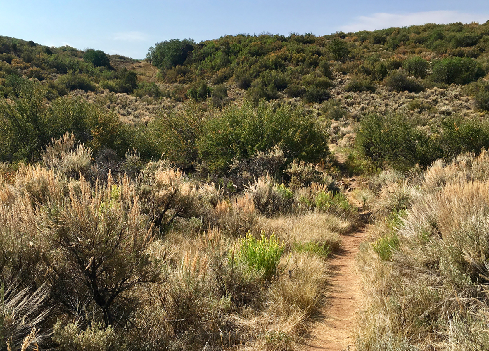
This trail enters the Black Canyon of the Gunnison Wilderness Area and offers good views of Deadhorse Gulch and East Portal on the Gunnison River. It is the only trail where day use horseback riding is allowed. No permit is required.
Pets are not allowed. Trail provides birding opportunities.
Distance (one-way): 2.6 mi (4.2 km)*
Difficulty: Easy to moderately strenuous
*If hikers choose to add the loop portion, roundtrip mileage is 6.6 mi (10.6 km).
Pets Pets are not allowed.
Accessibility This unpaved, narrow trail is not wheelchair accessible.
Views
Along the way Devil's Lookout Overlook
Views
Along the way Dragon Point Overlook
Trailhead Dragon Point Trail 7,942 ft Drive there
ViewsVisitor centers
Along the way Gunnison Point Overlook Gunnison Point Overlook South Rim Visitor Center
Trailhead Oak Flat Loop Trail 8,140 ft Drive there
Views
Along the way Island Peaks View Overlook
Views
Along the way North Vista Trail Overlook North Vista Trail Overlook
ViewsRanger stations
Along the way North Rim Ranger Station North Vista Trail Overlook
Trailhead North Vista Trail 7,714 ft Drive there
no dogs · Spring, Summer, Fall
Start North Rim Ranger Station
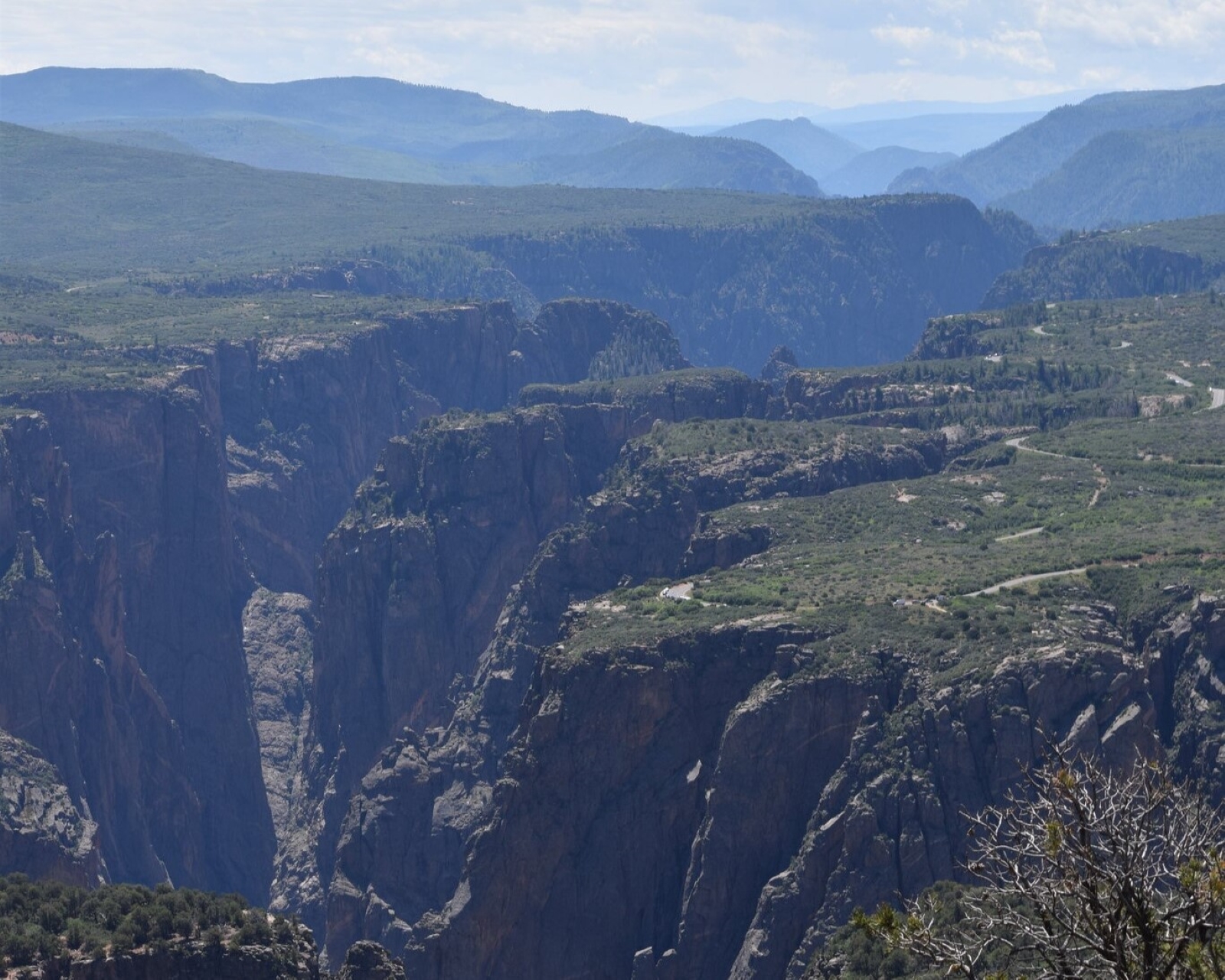
Constructed by the Volunteers for Outdoor Colorado, the North Vista Trail offers some of the best scenic views and birding in the park. After passing through an area of sage and oak brush, the trail meanders in a pinyon/juniper forest along the canyon rim. Several overlooks offer views of Pinyon Draw and the inner canyon. Hikers continuing to Green Mountain will be rewarded by panoramic vistas, including the San Juan Mountains, the West Elks, Grand Mesa, the Uncompahgre Plateau, and an aerial perspective of the Black Canyon.
Pets are not allowed.
Trail to Exclamation Point:
Distance (one-way): 1.6 mi (2.6 km)
Difficulty: Moderately strenuous
Trail to Green Mountain:
Distance (one-way): 3.6 mi (5.8 km)
Difficulty: Strenuous
Pets Pets are not allowed on this trail.
Accessibility This trail is unpaved, narrow, steep, and not wheelchair accessible.
Visitor centers
Along the way South Rim Visitor Center
Trailhead Oak Flat Loop Trail 8,140 ft Drive there
no dogs
Start Oak Flat Trail
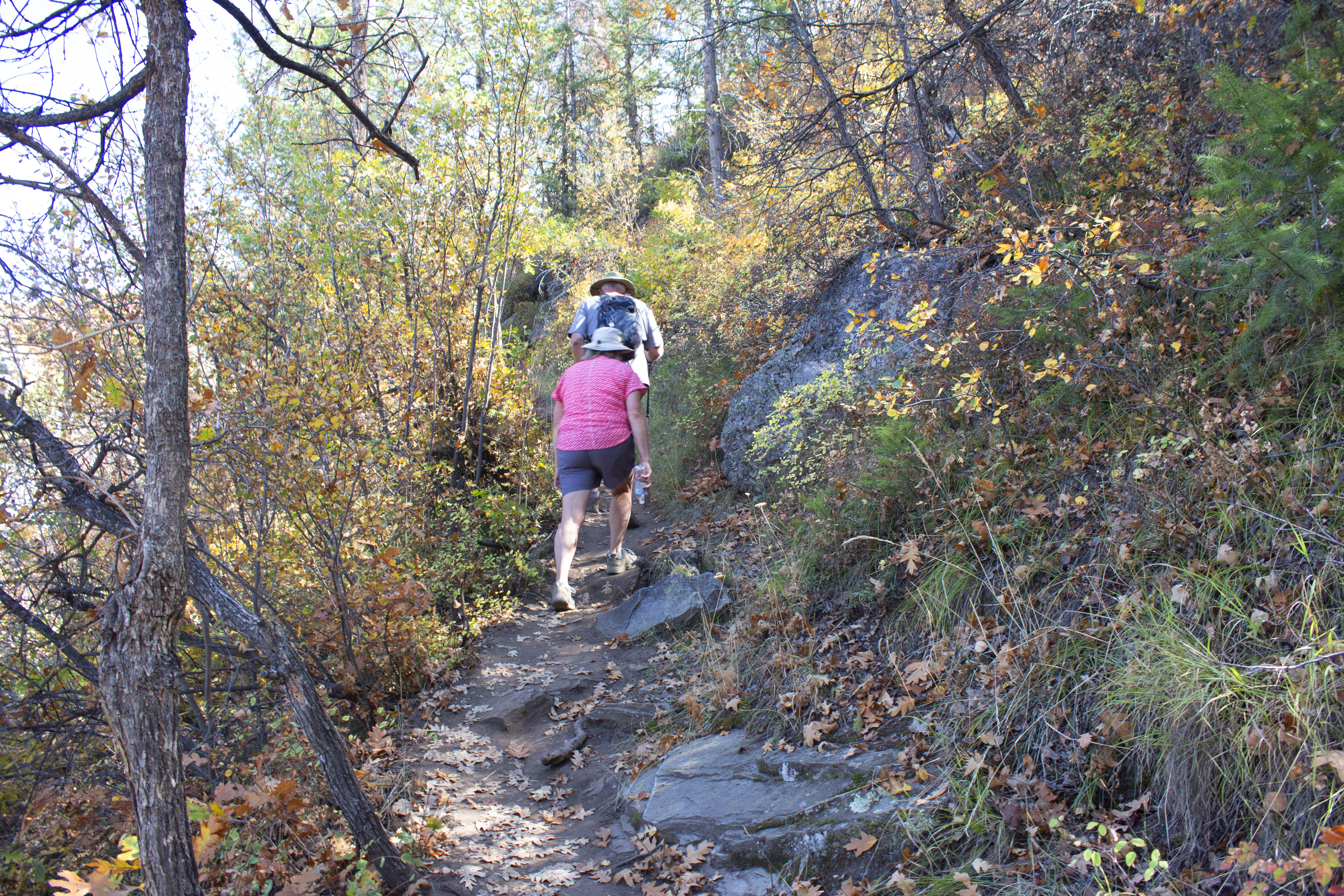
The Oak Flat Loop Trail (built by Student Conservation Association volunteers) offers variety to the hiker who would like to explore below the rim without going all the way to the river. The trail enters the Black Canyon of the Gunnison Wilderness Area and meanders through Gambel Oak, then a forest of Douglas fir, Aspen, and chokecherry.
Parents should be aware that the trail is narrow in places and traverses some steep slopes. Pets are not allowed.
Distance (roundtrip): 1.6 mi (2.6 km)
Difficulty: Moderately strenuous
Pets Pets are not allowed on this trail.
Accessibility This trail is unpaved, steep, and not wheelchair accessible.
no dogs
Start Uplands Trail
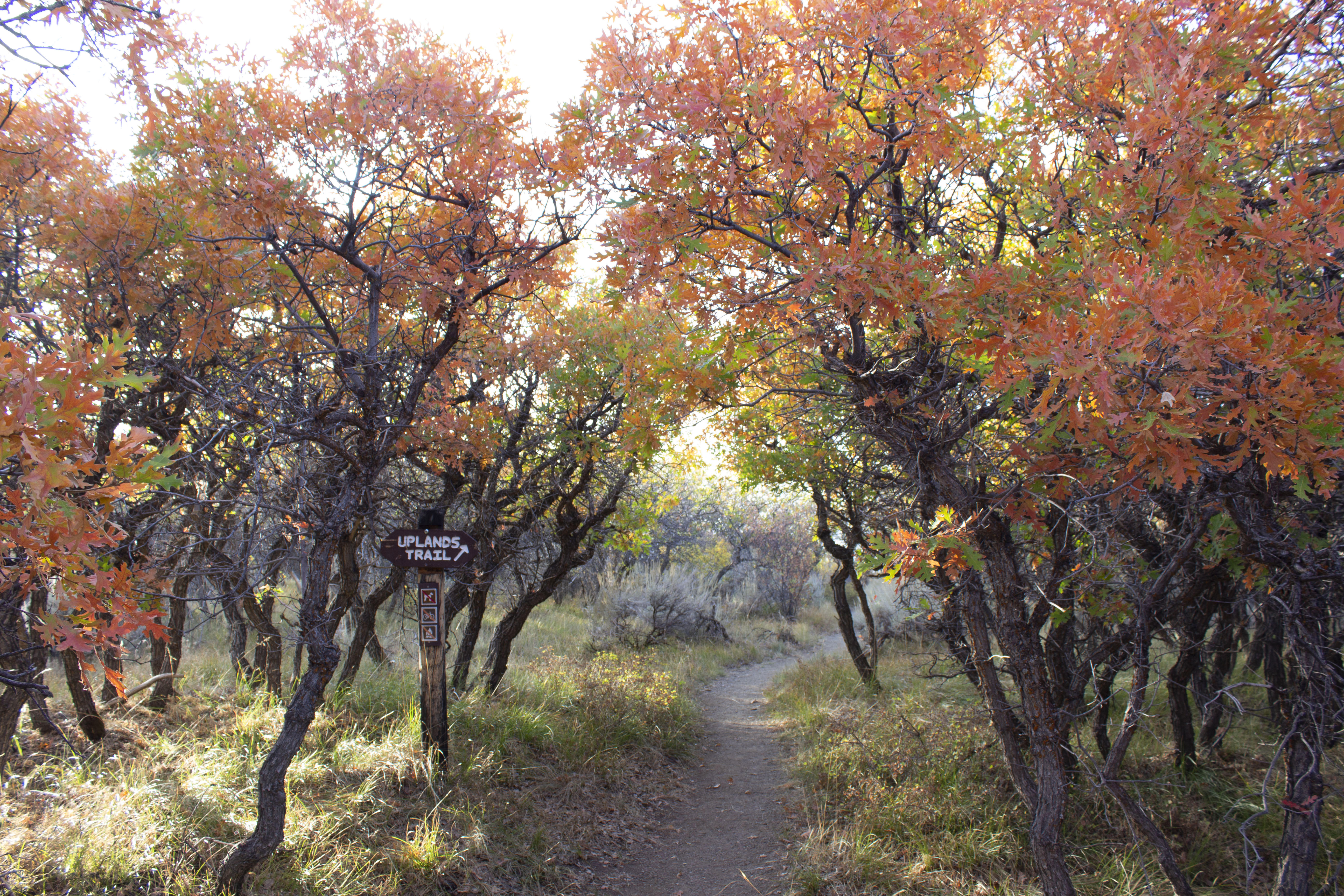
An early morning or late evening walk on the Uplands Trail provides a chance to glimpse wildlife when they are most active.
Although the trail is not near the canyon rim, watch for mammals and birds (or at least their tracks) and views of the West Elk Mountains. Upland vegetation such as Gambel oak, Utah serviceberry, big sage brush, and wildflowers make up the habitat along this hike. Pets are not allowed.
Distance (one-way): .9 mile (1.4 km)
Difficulty: Moderate
Pets Pets are not allowed on this trail.
Accessibility This unpaved, narrow trail is not wheelchair accessible.
Views
Along the way Painted Wall Overlook
dogs allowed · Spring, Summer, Fall
Start North Rim Campground
Chasm View Nature Trail breaks out of the pinyon/juniper forest at the North Chasm View, some 1,800 feet (547 m) above the river. Continuing near the rim, the trail reaches a second overlook with excellent views of Painted Wall and Serpent Point.
Pets on leash are allowed. Trail provides birding opportunities for swifts, swallows, and raptors.
Distance (roundtrip): 0.3 mi (0.5 km)
Difficulty: Easy to moderate
Accessibility This unpaved trail is rocky in places and not wheelchair accessible.
ViewsPicnic areas
Along the way Pulpit Rock Picnic Area Pulpit Rock Overlook Pulpit Rock Overlook
Views
Along the way Tomichi Point Overlook
Trailheads Rim Rock Trail 8,149 ft Drive there · Rim Rock Trail 8,350 ft Drive there
dogs allowed
Start Rim Rock Trail
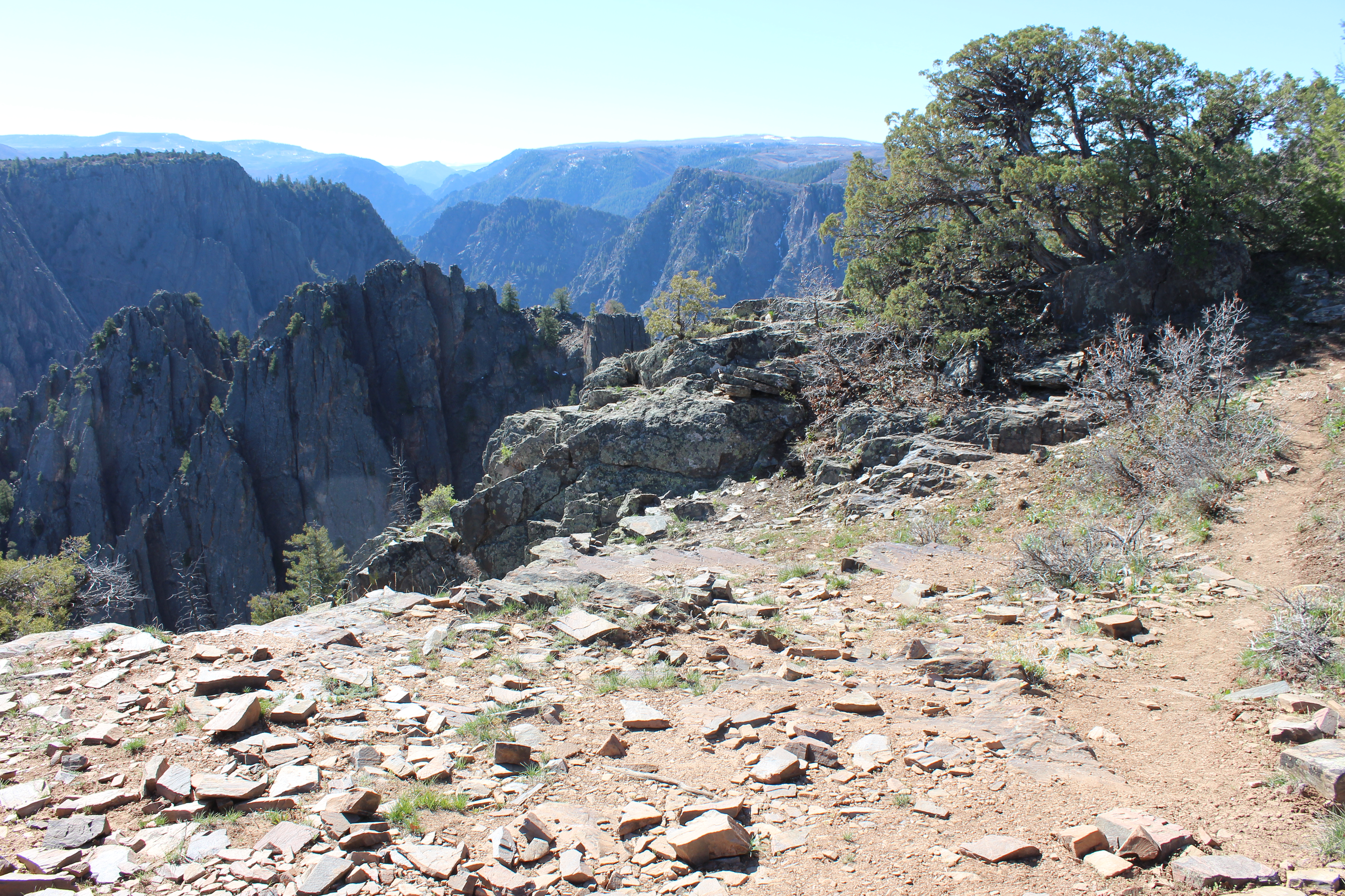
Rim Rock Trail, which meanders along the canyon rim, connects the South Rim Visitor Center to the South Rim Campground. Take in the stunning depths of the canyon walls, glimpses of the Gunnison River, and panoramic vistas of the West Elk Mountains. Tomichi Point provides canyon views and a resting spot about halfway down the trail. The trail is fairly level with some stairs and uneven spots.
Leashed pets are allowed on this trail. Leashes must be a maximum of six feet (1.8 m) in length.
Distance (one-way): 1 mi (1.6 km)
Difficulty: Moderately strenuous
Accessibility The Rim Rock Trail is fairly level but is unpaved and not wheelchair accessible. Dogs are allowed except in summer due to potentially aggressive deer protecting their fawns.
no dogs
Start Uplands Trail
An early morning or late evening walk on the Uplands Trail provides a chance to glimpse wildlife when they are most active.
Although the trail is not near the canyon rim, watch for mammals and birds (or at least their tracks) and views of the West Elk Mountains. Upland vegetation such as Gambel oak, Utah serviceberry, big sage brush, and wildflowers make up the habitat along this hike. Pets are not allowed.
Distance (one-way): .9 mile (1.4 km)
Difficulty: Moderate
Pets Pets are not allowed on this trail.
Accessibility This unpaved, narrow trail is not wheelchair accessible.
Views
Along the way Rock Point Overlook
ViewsVisitor centers
Along the way Gunnison Point Overlook South Rim Visitor Center
Trailhead Oak Flat Loop Trail 8,140 ft Drive there
ViewsPicnic areas
Along the way Sunset View Picnic Area Sunset View Overlook
Views
Along the way The Narrows View Overlook
no dogs
Start Uplands Trail
An early morning or late evening walk on the Uplands Trail provides a chance to glimpse wildlife when they are most active.
Although the trail is not near the canyon rim, watch for mammals and birds (or at least their tracks) and views of the West Elk Mountains. Upland vegetation such as Gambel oak, Utah serviceberry, big sage brush, and wildflowers make up the habitat along this hike. Pets are not allowed.
Distance (one-way): .9 mile (1.4 km)
Difficulty: Moderate
Pets Pets are not allowed on this trail.
Accessibility This unpaved, narrow trail is not wheelchair accessible.
ViewsPicnic areas
Along the way High Point Picnic Area High Point Overlook Warner Point Nature Trail Overlook
Trailhead Warner Point Trail 8,302 ft Drive there
no dogs
Start High Point Parking
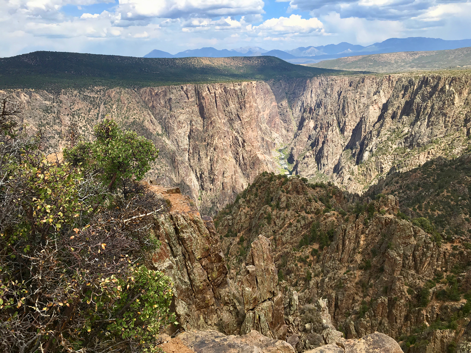
Along Warner Point Trail, hikers will find shady benches among mountain mahogany, serviceberry, pinyon pine, and juniper. Looking south, you can see the San Juan Mountain Range, Uncompahgre Valley, and Bostwick Park. Looking north, enjoy views of the West Elk Mountains. At the end of the trail, hikers can look down into the Black Canyon and see the Gunnison River.
Trail guides are available at High Point Overlook or the South Rim Visitor Center. Pets are not allowed.
Distance (one-way): .8 mi (1.25 km)
Difficulty: Moderate strenuous
Pets Pets are not allowed on this trail.
Accessibility This unpaved trail is steep in places and not wheelchair accessible.
The lines are the National Park Service's public trails layer, the trailheads and the waterfalls, views, peaks and historic places along them the Service's public points of interest, read 2026-10-14 and simplified for the map. The write-ups are the Service's own "things to do", unedited. Heights come from USGS 3DEP through Terrain Tiles on AWS (Mapzen/Tilezen), read along each line and rounded; a short trail on steep ground can be off by a few tens of feet. Closures change: check the park's own site before you go.