
North Vista Trail
ViewsRanger stations
Along the way North Rim Ranger Station North Vista Trail Overlook
Trailhead North Vista Trail 7,714 ft Drive there
Hike North Vista Trail - North Rim the Park Service's write-up
no dogs · Spring, Summer, Fall · season North Rim of the Black Canyon is closed during winter.
Start North Rim Ranger Station
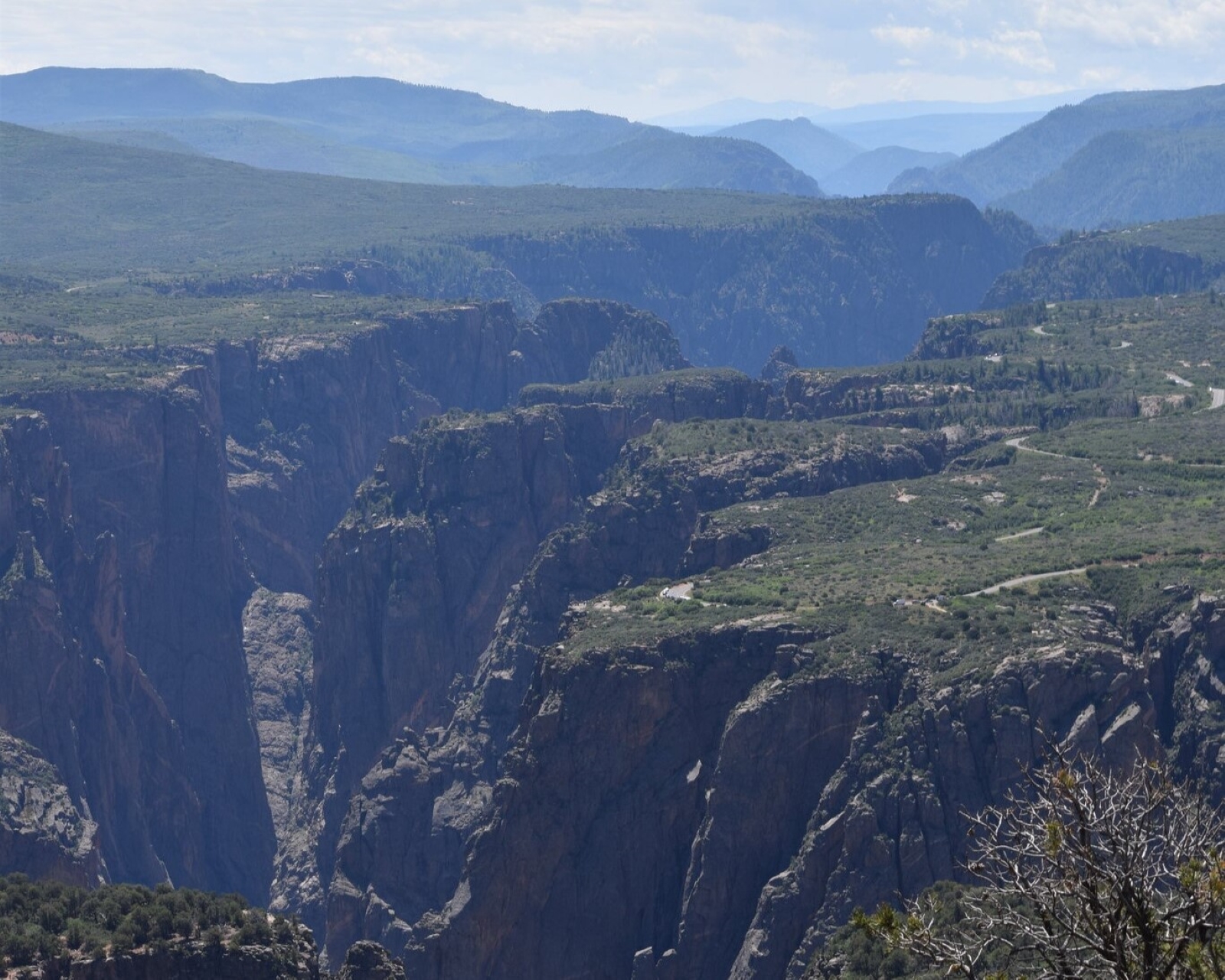
Constructed by the Volunteers for Outdoor Colorado, the North Vista Trail offers some of the best scenic views and birding in the park. After passing through an area of sage and oak brush, the trail meanders in a pinyon/juniper forest along the canyon rim. Several overlooks offer views of Pinyon Draw and the inner canyon. Hikers continuing to Green Mountain will be rewarded by panoramic vistas, including the San Juan Mountains, the West Elks, Grand Mesa, the Uncompahgre Plateau, and an aerial perspective of the Black Canyon.
Pets are not allowed.
Trail to Exclamation Point:
Distance (one-way): 1.6 mi (2.6 km)
Difficulty: Moderately strenuous
Trail to Green Mountain:
Distance (one-way): 3.6 mi (5.8 km)
Difficulty: Strenuous
Pets Pets are not allowed on this trail.
Accessibility This trail is unpaved, narrow, steep, and not wheelchair accessible.