Black Canyon Of The Gunnison National Park · Colorado

Deadhorse Trail

4.0 mi of trail, end to end · about 750 ft of climbing · 7,879 ft–8,322 ft · trail class Developed · hiking

Views

8,017 ft 8,268 ft · 2.6 mi high 8,316 ft

Along the way Deadhorse Trail Overlook

Trailhead Deadhorse Trail 8,020 ft Drive there

Hike Deadhorse Trail - North Rim the Park Service's write-up

no dogs · Spring, Summer, Fall · season North Rim of the Black Canyon is closed during winter.

Start Kneeling Camel Overlook
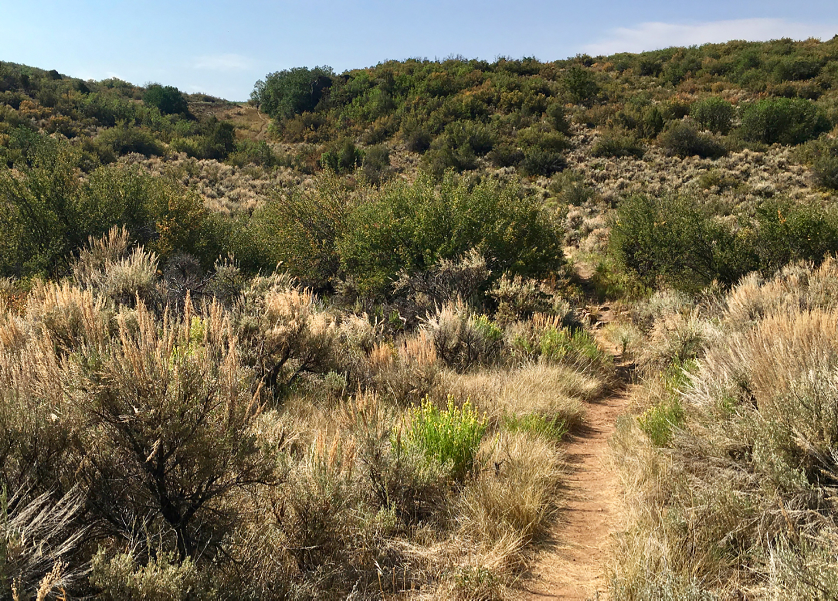
Deadhorse Trail
Deadhorse Trail Photo: NPS Photo

This trail enters the Black Canyon of the Gunnison Wilderness Area and offers good views of Deadhorse Gulch and East Portal on the Gunnison River. It is the only trail where day use horseback riding is allowed. No permit is required.

Pets are not allowed. Trail provides birding opportunities.

Distance (one-way): 2.6 mi (4.2 km)*

Difficulty: Easy to moderately strenuous

*If hikers choose to add the loop portion, roundtrip mileage is 6.6 mi (10.6 km).

Pets Pets are not allowed.

Accessibility This unpaved, narrow trail is not wheelchair accessible.

This hike on nps.gov

All 26 trails in Black Canyon Of The Gunnison National ParkFind a trailOn the parks mapPark on nps.gov

About this trail's facts

The lines are the National Park Service's public trails layer, the trailheads and the waterfalls, views, peaks and historic places along them the Service's public points of interest, read 2026-10-16 and simplified for the map; the length is the line's, end to end. The write-ups are the Service's own "things to do" text, unedited. Heights come from USGS 3DEP through Terrain Tiles on AWS (Mapzen/Tilezen), read along each line and rounded; a short trail on steep ground can be off by a few tens of feet. Closures change: check the park's own site before you go.