0.2 mi of trail, end to end · 80 ft of descent · 7,806 ft–7,882 ft · trail class Developed · hiking
Views
Along the wayCedar Point Overlook
TrailheadCedar Point Nature Trail 7,887 ft Drive there
Hike Cedar Point Nature Trail - South Rim the Park Service's write-up
dogs allowed
Start Cedar Point Nature Trail
The overlook at the end of the Cedar Point Nature Trail. Photo: NPS Photo
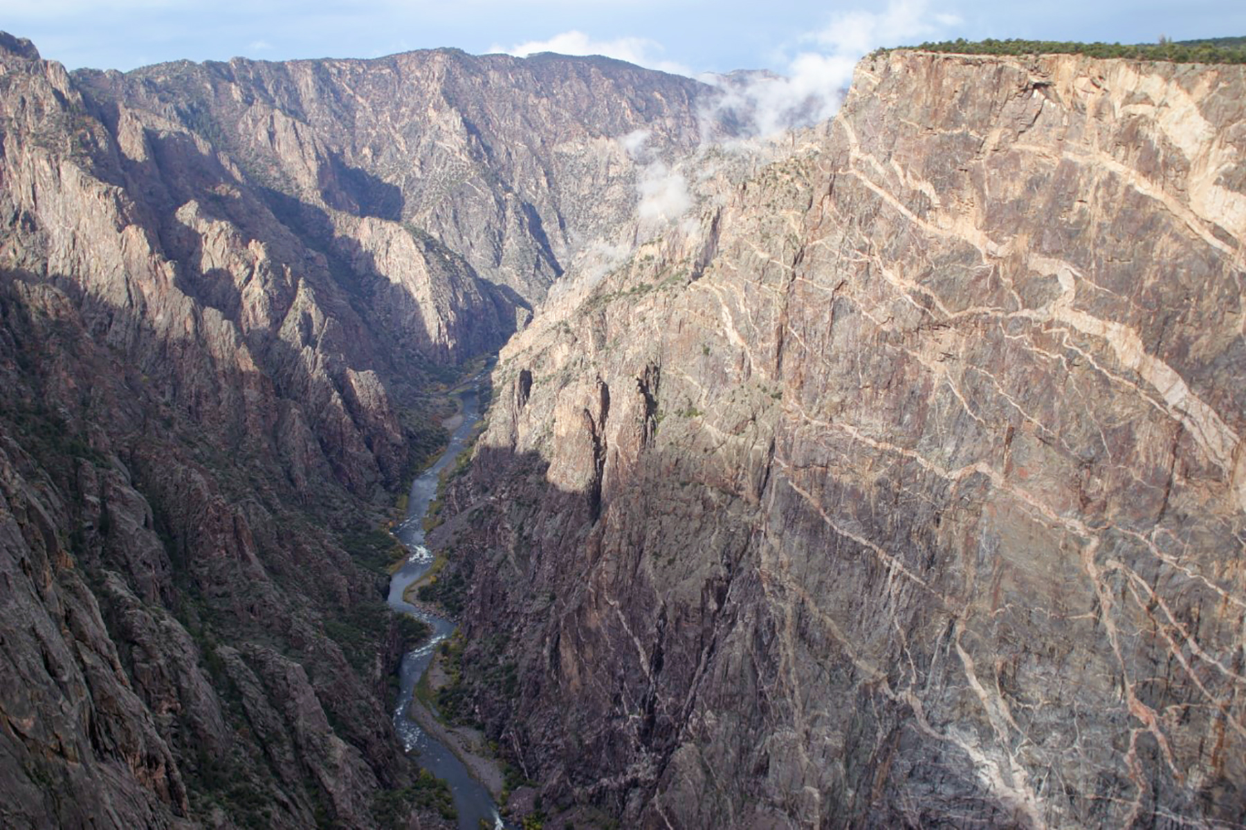
This short, moderately sloped trail offers visitors a chance to brush up on local flora with guideposts describing the various plants along the way. Two overlooks at the end offer breathtaking views of the river. Painted Wall, the tallest cliff in Colorado at 2,250 ft (675 m), is also visible.
Pets on leash are allowed.
Length: .2 mi (.3 km)
Difficulty: Easy
Accessibility This trail is unpaved and not wheelchair accessible.
The lines are the National Park Service's public trails layer, the trailheads and the waterfalls, views, peaks and historic places along them the Service's public points of interest, read 2026-10-16 and simplified for the map; the length is the line's, end to end. The write-ups are the Service's own "things to do" text, unedited. Heights come from USGS 3DEP through Terrain Tiles on AWS (Mapzen/Tilezen), read along each line and rounded; a short trail on steep ground can be off by a few tens of feet. Closures change: check the park's own site before you go.