
Santa Elena Canyon
Hike Into Santa Elena Canyon the Park Service's write-up
no dogs
Start Hiking Into Santa Elena Trail
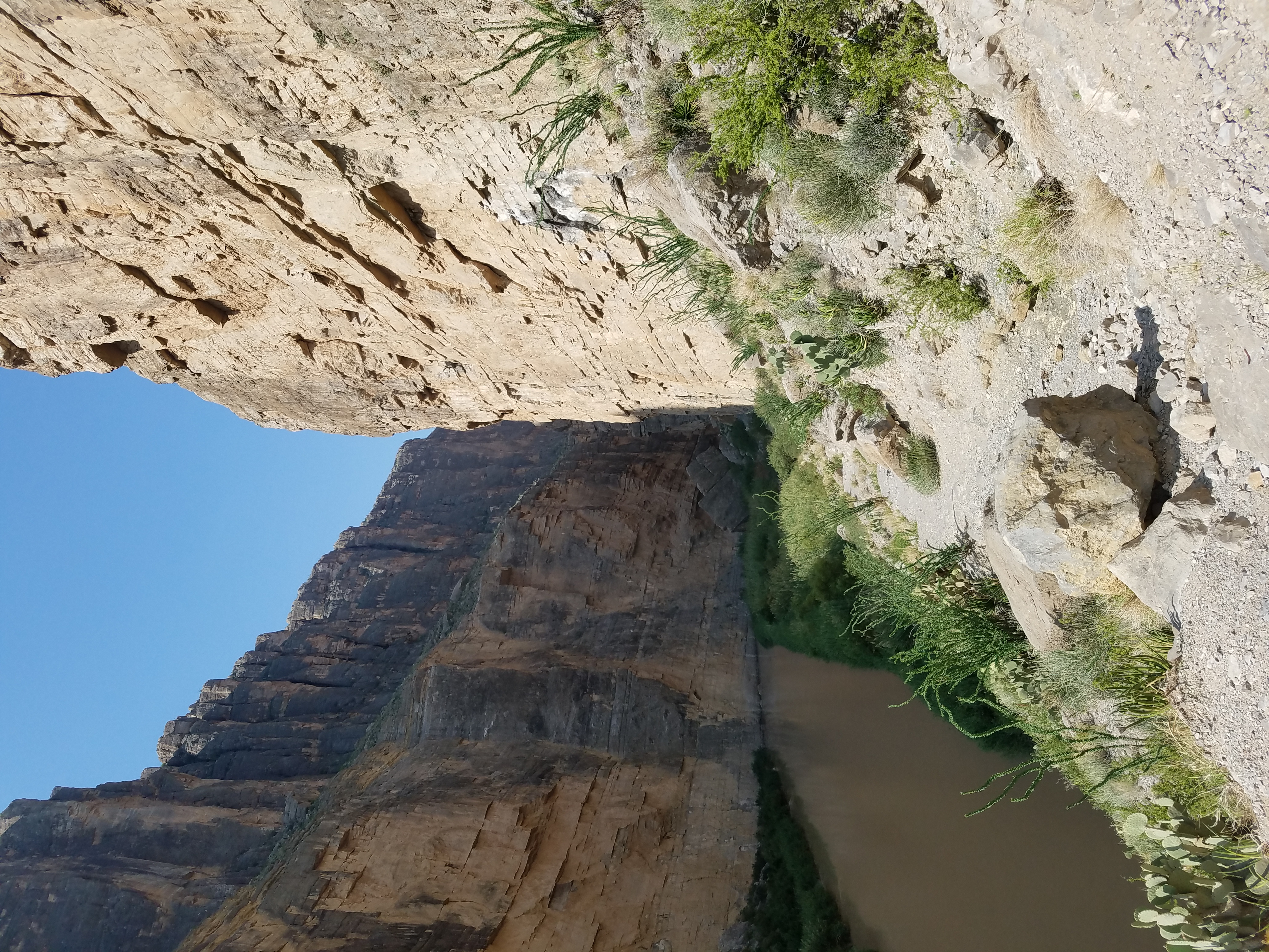
After crossing Terlingua Creek the trail enters between the walls of spectacular Santa Elena Canyon. The trail ascends on paved steps to a vista, then descends back to the water's edge, continuing into the canyon until the canyon walls meet the Rio Grande. The walls of the Canyon rise 1500 feet from the banks of the Rio Grande, making this one of the most dramatic and popular places to view the river. The sheer face of this canyon was formed by the Terlingua Fault, which is mostly covered in gravel. Calcite crystals filled in cracks formed by this fault and can be seen along the trail. The deepest channel of the Rio Grande is the international boundary, with each half of this canyon protected by a national park. The southern side belongs to the Area Protegida del Cañón de Santa Elena (Mexico) and the northern side is within Big Bend National Park (USA). Be prepared for mud. During wet times, abrupt rises to Terlingua Creek can make this trail impassable. Always watch for distant rainfall that could lead to flash flooding to avoid becoming stranded within the canyon.
Trail Safety:
Bring Plenty of water; a minimum of 1-2 liters per person
Wear protective clothing, like sun hats and long sleeves
Be aware of wildlife, such as snakes and mountain lions; maintain a safe distance
Watch for water level rises. Do not cross flowing water.
Trail Rules:
No pets or bicycles on any trails
No collecting or possessing plants, animals, minerals, or artifacts
Do not feed or approach wildlife
Pack out your trashAll boating/rafting requires a permit
Drone/UAV use prohibited within the park
Pets Pets are not allowed on trails, off roads, or on the river. Your pet can only go where your car can go.
Accessibility The parking lot and trailhead are not paved. Muddy conditions along the banks of the Rio Grande and Terlingua Creek, and elevation gains at the start of the canyon make this trail inaccessible to wheelchairs. There are vault toilets and a picnic area at the trailhead. Service animals are allowed, but must be on a leash no longer than 6 feet. 1.6 miles round trip (2.6 km) 80 feet elevation gain (26m)