109 named trails · 172 miles · 4 with the Park Service's own write-up. The lines, trailheads and points are the Park Service's; the write-ups are the Service's own words; the climbing is read from USGS elevation along each line.
2.4 mi one way · about 600 ft of climbing · 7,003 ft–7,473 ft · native surface · hiking · seasonal: Peregrine Falcon Nesting February 1 - May 31
Backcountry camps
Along the wayNortheast Rim Campsite #2Northeast Rim Campsite #5Southeast Rim Campsite #1Southeast Rim Campsite #2Southeast Rim Campsite #3Southeast Rim Campsite #4
6.7 mi one way · about 300 ft of climbing · 3,200 ft of descent · 3,973 ft–7,076 ft · native surface · hiking
Backcountry camps
Along the wayJuniper Canyon Campsite
Hike the Lost Mine Trail the Park Service's write-up
no dogs
Start Lost Mine Trail
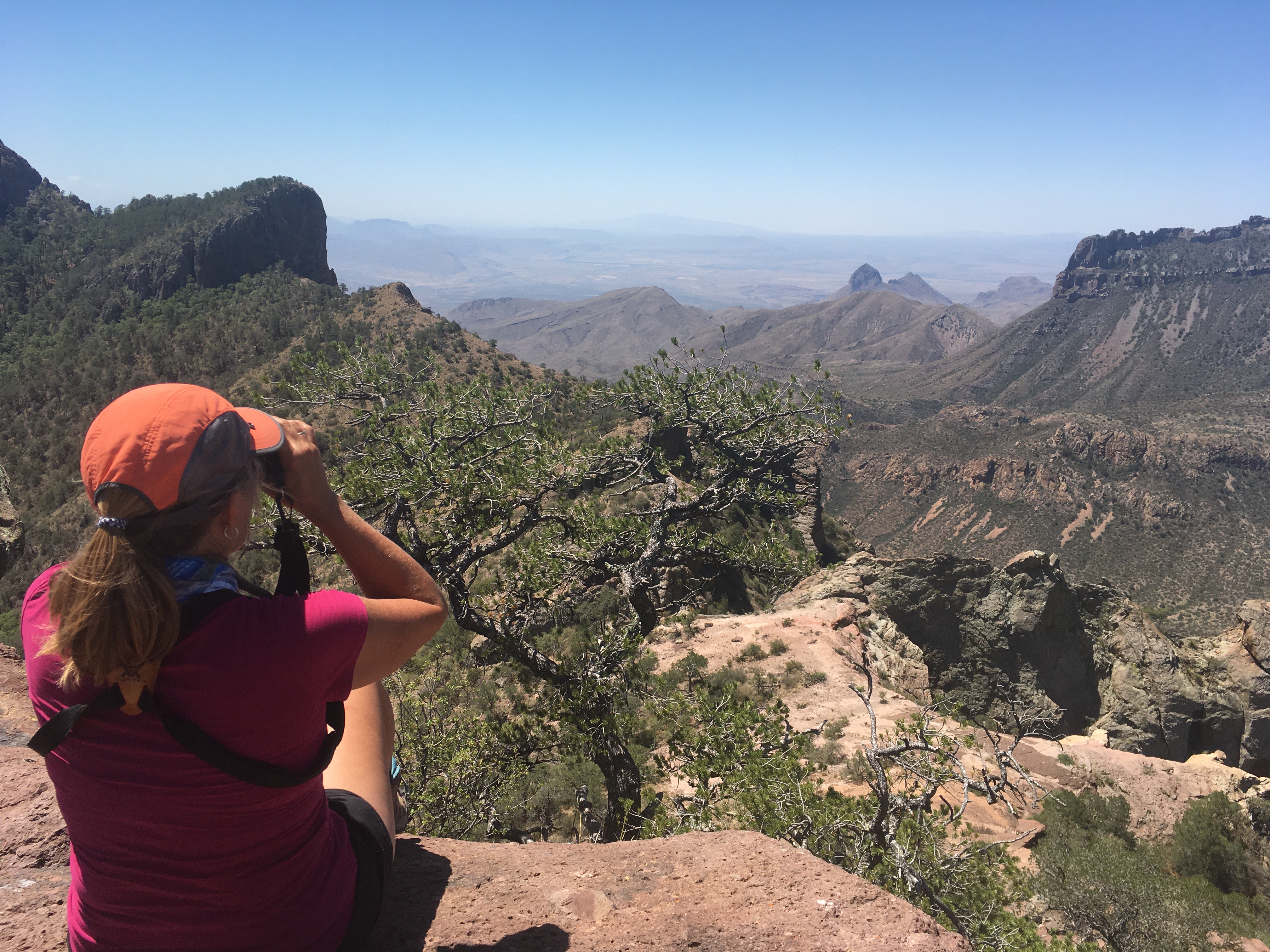
Enjoying the view at the top of the Lost MIne Trail Photo: NPS / T. VandenBerg
From the very first step, the Lost Mine Trail leads hikers into a different world - a woodland-grassland ecosystem with some of the best scenic views in the park. Walk this trail and learn why so many park staff and visitors alike list it as their favorite hike in Big Bend National Park.
Trail Basics
The Lost Mine Trail rises 1,100 feet over 2.4 miles (4.8 miles round-trip) and provides excellent views of the surrounding mountains and desert. The average time to complete this trail is around three hours, so take plenty of water and a snack.
Hike Safe
This is mountain lion and black bear country! Keep children close to you; do not let them hike alone or run ahead of the group. If you see a mountain lion, do not run .
To improve your hiking experience, it is important to carry and drink plenty of water.
Protect yourself from the desert sun, even up in the mountains; use sunscreen and wear a wide-brimmed hat.
Know your limits. Take breaks as needed, and enjoy the view
Trail Tips
If your time and energy is limited, consider hiking only the first mile to a scenic overlook.
Parking at the trailhead is limited; during busy periods you may have to hike another trail and come back to Lost Mine another time. Do not attempt to park along the side of the road.
The Lost Mine is an excellent hike at all times of day, as the climb often leads to cooler temperatures at higher elevations.
The upper portion of the trail is steep; help prevent erosion by staying on the trail and following switchbacks.
There are no toilets along this trail. Human waste must be buried six inches deep, at least 100 yards from the trail or any water source or drainage. Be sure to pack out your toilet paper; it should not be buried, and burning it is prohibited. Being prepared for the trip is just as important as enjoying your visit.
Respect other visitors and protect the quality of their experience. Be courteous. Yield to other users on the trail. Let nature's sound prevail.
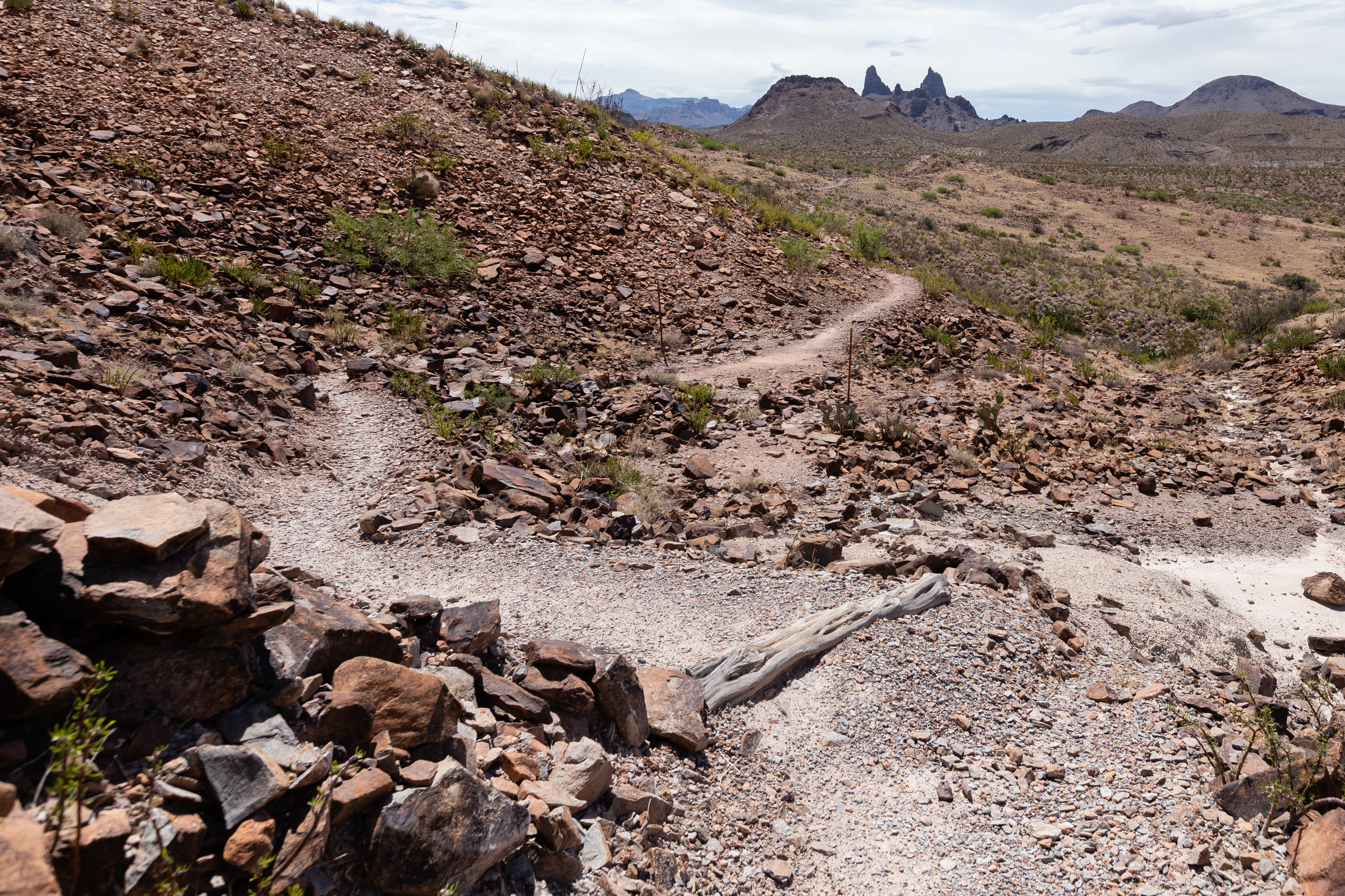
Accessibility The trail surface is composed of dirt and rocks. The second half of the trail includes switchbacks and steps.
2.3 mi one way · about 1,100 ft of climbing · 5,753 ft–6,832 ft · native surface · hiking
Hike the Lost Mine Trail the Park Service's write-up
no dogs
Start Lost Mine Trail
Enjoying the view at the top of the Lost MIne Trail Photo: NPS / T. VandenBerg
From the very first step, the Lost Mine Trail leads hikers into a different world - a woodland-grassland ecosystem with some of the best scenic views in the park. Walk this trail and learn why so many park staff and visitors alike list it as their favorite hike in Big Bend National Park.
Trail Basics
The Lost Mine Trail rises 1,100 feet over 2.4 miles (4.8 miles round-trip) and provides excellent views of the surrounding mountains and desert. The average time to complete this trail is around three hours, so take plenty of water and a snack.
Hike Safe
This is mountain lion and black bear country! Keep children close to you; do not let them hike alone or run ahead of the group. If you see a mountain lion, do not run .
To improve your hiking experience, it is important to carry and drink plenty of water.
Protect yourself from the desert sun, even up in the mountains; use sunscreen and wear a wide-brimmed hat.
Know your limits. Take breaks as needed, and enjoy the view
Trail Tips
If your time and energy is limited, consider hiking only the first mile to a scenic overlook.
Parking at the trailhead is limited; during busy periods you may have to hike another trail and come back to Lost Mine another time. Do not attempt to park along the side of the road.
The Lost Mine is an excellent hike at all times of day, as the climb often leads to cooler temperatures at higher elevations.
The upper portion of the trail is steep; help prevent erosion by staying on the trail and following switchbacks.
There are no toilets along this trail. Human waste must be buried six inches deep, at least 100 yards from the trail or any water source or drainage. Be sure to pack out your toilet paper; it should not be buried, and burning it is prohibited. Being prepared for the trip is just as important as enjoying your visit.
Respect other visitors and protect the quality of their experience. Be courteous. Yield to other users on the trail. Let nature's sound prevail.
Accessibility The trail surface is composed of dirt and rocks. The second half of the trail includes switchbacks and steps.
0.8 mi one way · about 150 ft of climbing · 2,153 ft–2,282 ft · native surface · hiking
Hike Into Santa Elena Canyon the Park Service's write-up
no dogs
Start Hiking Into Santa Elena Trail
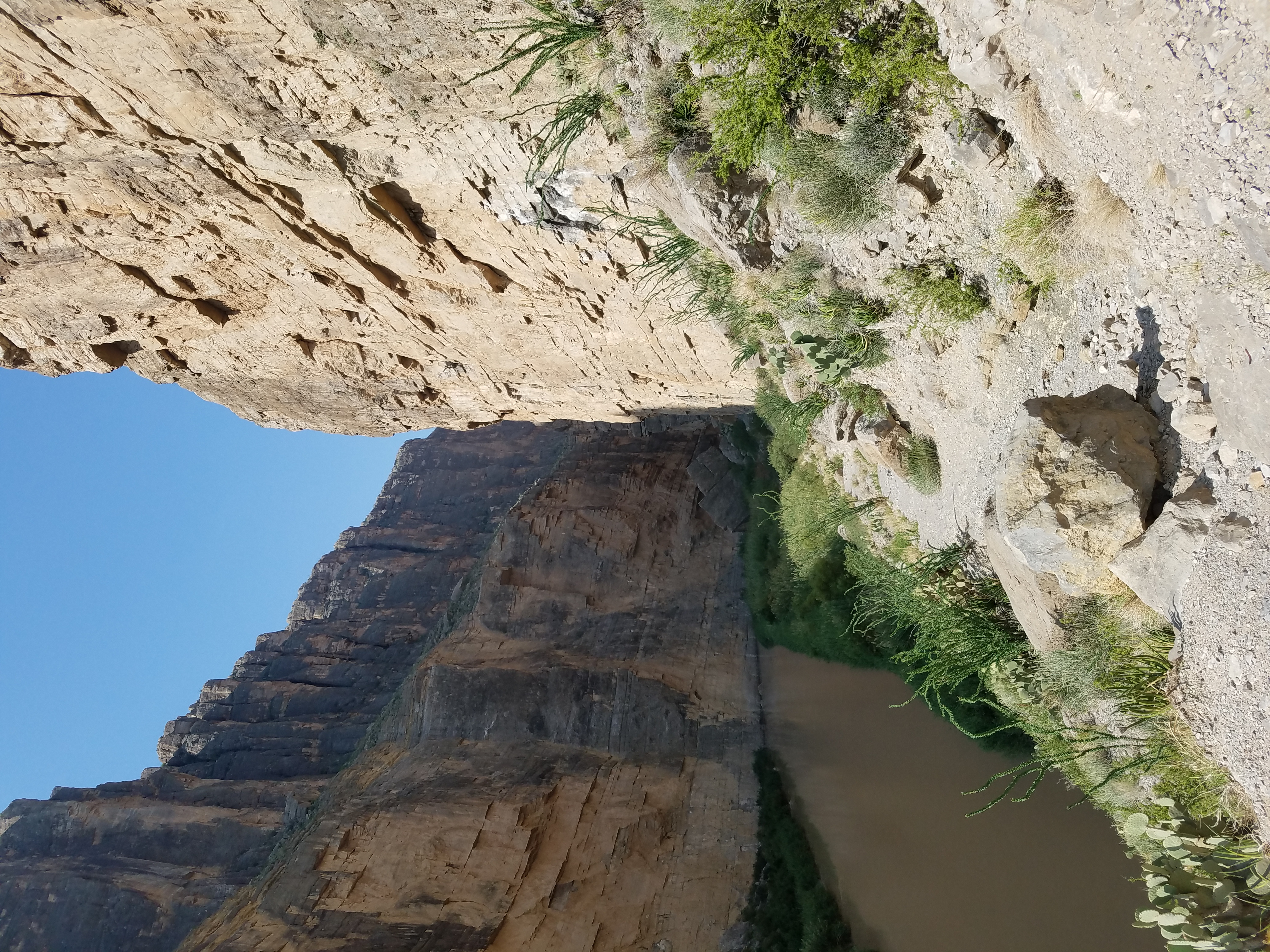
Santa Elena Canyon Trail Photo: NPS PHOTO
After crossing Terlingua Creek the trail enters between the walls of spectacular Santa Elena Canyon. The trail ascends on paved steps to a vista, then descends back to the water's edge, continuing into the canyon until the canyon walls meet the Rio Grande. The walls of the Canyon rise 1500 feet from the banks of the Rio Grande, making this one of the most dramatic and popular places to view the river. The sheer face of this canyon was formed by the Terlingua Fault, which is mostly covered in gravel. Calcite crystals filled in cracks formed by this fault and can be seen along the trail. The deepest channel of the Rio Grande is the international boundary, with each half of this canyon protected by a national park. The southern side belongs to the Area Protegida del Cañón de Santa Elena (Mexico) and the northern side is within Big Bend National Park (USA). Be prepared for mud. During wet times, abrupt rises to Terlingua Creek can make this trail impassable. Always watch for distant rainfall that could lead to flash flooding to avoid becoming stranded within the canyon.
Trail Safety:
Bring Plenty of water; a minimum of 1-2 liters per person
Wear protective clothing, like sun hats and long sleeves
Be aware of wildlife, such as snakes and mountain lions; maintain a safe distance
Watch for water level rises. Do not cross flowing water.
Trail Rules:
No pets or bicycles on any trails
No collecting or possessing plants, animals, minerals, or artifacts
Do not feed or approach wildlife
Pack out your trashAll boating/rafting requires a permit
Drone/UAV use prohibited within the park
Pets Pets are not allowed on trails, off roads, or on the river. Your pet can only go where your car can go.
Accessibility The parking lot and trailhead are not paved. Muddy conditions along the banks of the Rio Grande and Terlingua Creek, and elevation gains at the start of the canyon make this trail inaccessible to wheelchairs. There are vault toilets and a picnic area at the trailhead. Service animals are allowed, but must be on a leash no longer than 6 feet. 1.6 miles round trip (2.6 km) 80 feet elevation gain (26m)
Write-ups that name no single mapped trail, in the Service's words.
See the Rio Grande · no dogs The Rio Grande is accessible from a number of places in Big Bend National Park, and a variety of hiking trails provide even further opportunities to get up close and personal with our watery border with Mexico.
About these trails
The lines are the National Park Service's public trails layer, the trailheads and the waterfalls, views, peaks and historic places along them the Service's public points of interest, read 2026-10-14 and simplified for the map. The write-ups are the Service's own "things to do", unedited. Heights come from USGS 3DEP through Terrain Tiles on AWS (Mapzen/Tilezen), read along each line and rounded; a short trail on steep ground can be off by a few tens of feet. Closures change: check the park's own site before you go.