
Fossil Hills Trail
Visitor centers
Along the way Agate Fossil Beds Visitors Center
Trailhead Fossil Hills Trailhead 4,402 ft Drive there
Fossil Hills Trail the Park Service's write-up
45-120 Minutes · dogs allowed · season Prepare for summer heat with a hat, sunscreen, and plenty of water for your entire party.
Start Fossil Hills Trailhead
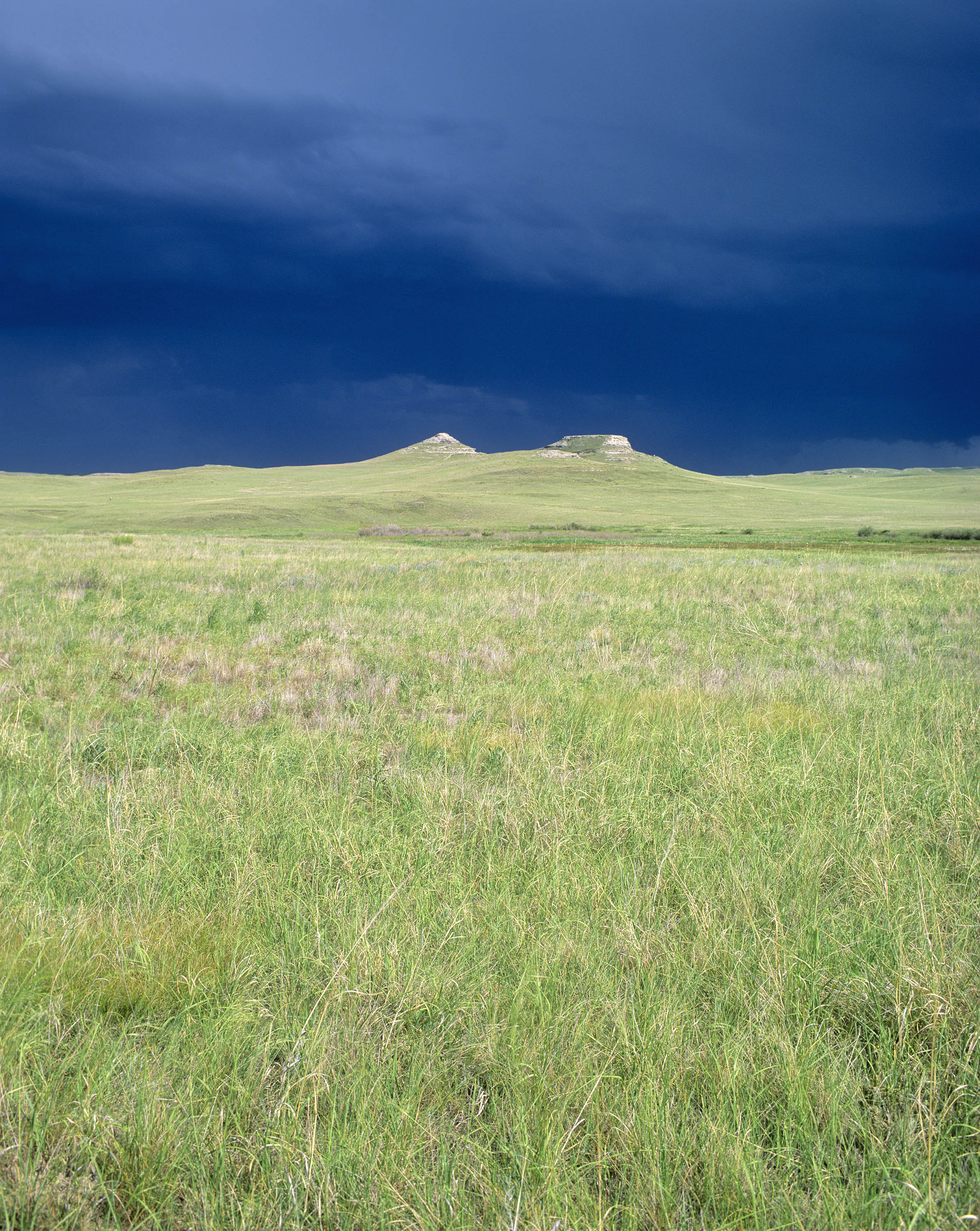
This 2.7-mile (4.3-km) wheelchair-accessible paved trail begins at the visitor center. From the visitor center, the trail crosses the Niobrara River and its wetlands, passes through ecologically intact short- and mixed-grass prairie, and then loops around University and Carnegie Hills. It was on these hills that future local rancher James Cook discovered fossilized bones in the mid 1880s. Excavations didn't commence until nearly twenty years later, following a 1904 visit by Olaf A. Peterson, a paleontologist from the Carnegie Museum in Pittsburgh, Pennsylvania. Signs along the trail point out and discuss a variety of historic and geologic features; others identify the names of plants, including flowers and grasses.
About midway between the visitor center and Fossil Hills is an unpaved one-mile side trail that leads west to Harold J. Cook's homestead cabin. Restored to what it looked like in 1910, while Harold and his wife Eleanor still lived there, the "Bone" cabin was used after 1914 as the temporary residence for scientists who worked the fossil quarries. The American Museum of Natural History's lead excavator, Albert "Bill" Thomson, lived there whenever conducting field work in the bonebed in the late 1910s and early 1920s.