
National Monument · Nebraska
Trails in Agate Fossil Beds National Monument
3 named trails · 4 miles · 2 trailheads · 2 with the Park Service's own write-up. The lines, trailheads and points are the Park Service's; the write-ups are the Service's own words; the climbing is read from USGS elevation along each line.
3 trails, A to Z.
Daemonelix Trail
Trailhead Daemonelix Trailhead 4,419 ft Drive there
Daemonelix Trail the Park Service's write-up
30-60 Minutes · dogs allowed · Winter, Spring, Fall
Start Daemonelix Trailhead
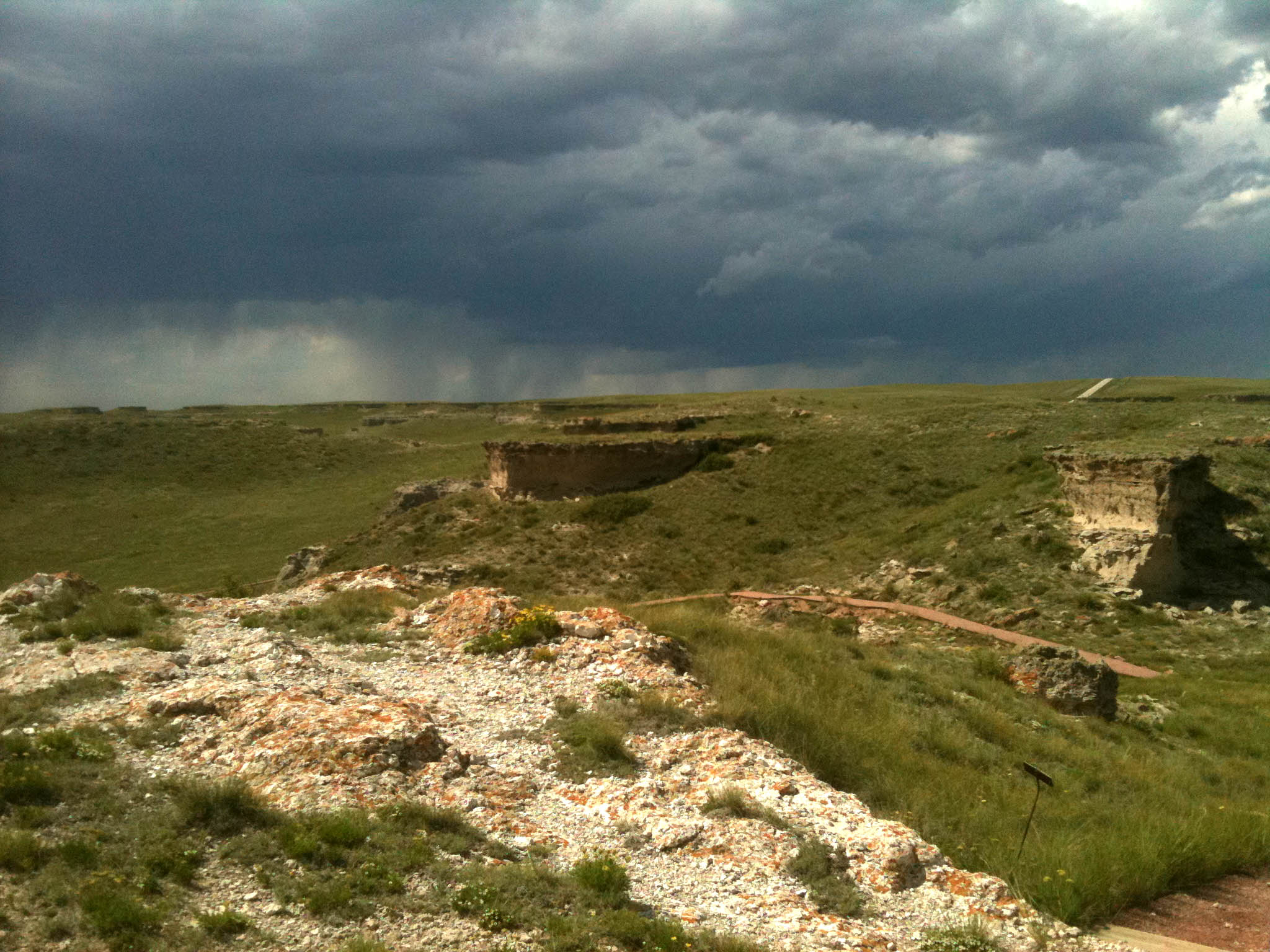
This one-mile (1.6 km) trail at the west end of the park offers visitors a tour through through time. In addition to a dry land beaver's curious spiral burrows, the Daemonelix or Devil's Corkscrew, visitors see ancient sand dunes and fossil grassland soils called paleosols. From the number and concentration of their now petrified homes, paleontologists know that the paleocastor, the dry land beaver, formed and lived in colonies much like present-day prairie dogs.
From the Daemonelix Trail's highest point, visitors can look out over not only James H. Cook's historic Agate Springs Ranch but also the vast, open tablelands that form the northern terminus of the High Plains east of the Rocky Mountains.
Fossil Hills Trail
Visitor centers
Along the way Agate Fossil Beds Visitors Center
Trailhead Fossil Hills Trailhead 4,402 ft Drive there
Fossil Hills Trail the Park Service's write-up
45-120 Minutes · dogs allowed
Start Fossil Hills Trailhead
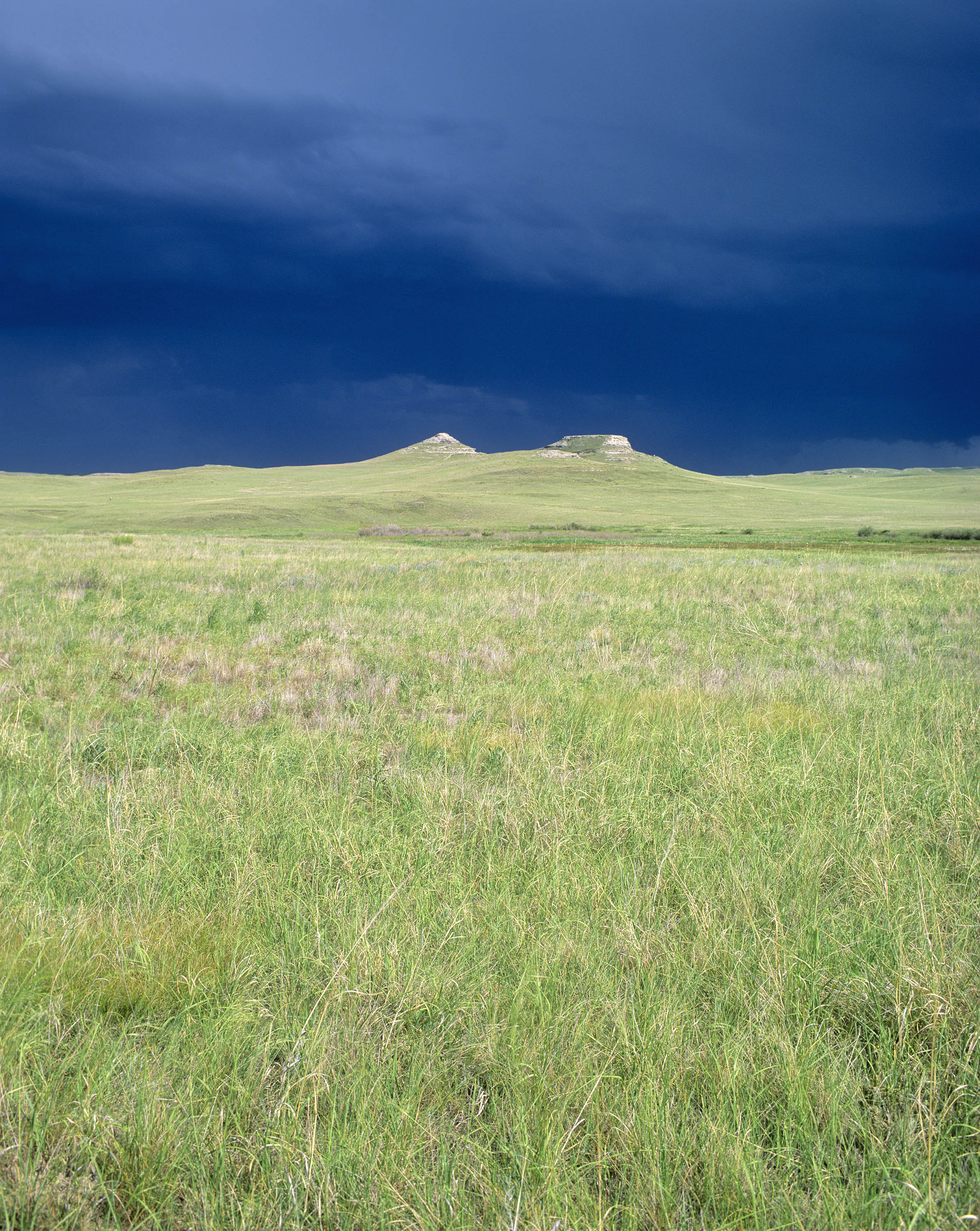
This 2.7-mile (4.3-km) wheelchair-accessible paved trail begins at the visitor center. From the visitor center, the trail crosses the Niobrara River and its wetlands, passes through ecologically intact short- and mixed-grass prairie, and then loops around University and Carnegie Hills. It was on these hills that future local rancher James Cook discovered fossilized bones in the mid 1880s. Excavations didn't commence until nearly twenty years later, following a 1904 visit by Olaf A. Peterson, a paleontologist from the Carnegie Museum in Pittsburgh, Pennsylvania. Signs along the trail point out and discuss a variety of historic and geologic features; others identify the names of plants, including flowers and grasses.
About midway between the visitor center and Fossil Hills is an unpaved one-mile side trail that leads west to Harold J. Cook's homestead cabin. Restored to what it looked like in 1910, while Harold and his wife Eleanor still lived there, the "Bone" cabin was used after 1914 as the temporary residence for scientists who worked the fossil quarries. The American Museum of Natural History's lead excavator, Albert "Bill" Thomson, lived there whenever conducting field work in the bonebed in the late 1910s and early 1920s.
About these trails
The lines are the National Park Service's public trails layer, the trailheads and the waterfalls, views, peaks and historic places along them the Service's public points of interest, read 2026-10-14 and simplified for the map. The write-ups are the Service's own "things to do", unedited. Heights come from USGS 3DEP through Terrain Tiles on AWS (Mapzen/Tilezen), read along each line and rounded; a short trail on steep ground can be off by a few tens of feet. Closures change: check the park's own site before you go.