
Daemonelix Trail
Trailhead Daemonelix Trailhead 4,419 ft Drive there
Daemonelix Trail the Park Service's write-up
30-60 Minutes · dogs allowed · Winter, Spring, Fall · season Cooler seasons are best, but the trail can be enjoyed year round. Prepare for the heat with a hat, sunscreen, and plenty of water for your entire party. If you have pets please take water for them too.
Start Daemonelix Trailhead
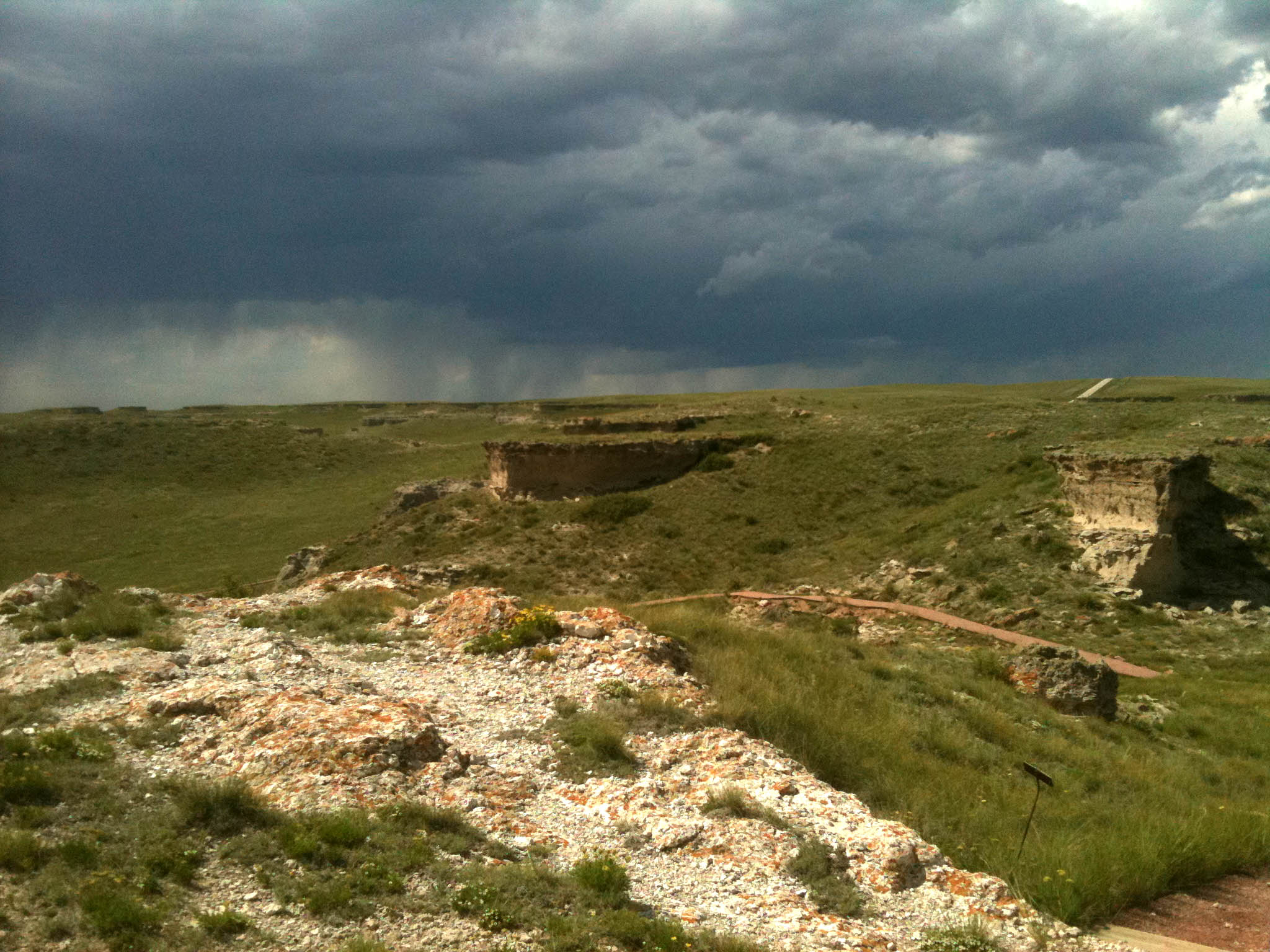
This one-mile (1.6 km) trail at the west end of the park offers visitors a tour through through time. In addition to a dry land beaver's curious spiral burrows, the Daemonelix or Devil's Corkscrew, visitors see ancient sand dunes and fossil grassland soils called paleosols. From the number and concentration of their now petrified homes, paleontologists know that the paleocastor, the dry land beaver, formed and lived in colonies much like present-day prairie dogs.
From the Daemonelix Trail's highest point, visitors can look out over not only James H. Cook's historic Agate Springs Ranch but also the vast, open tablelands that form the northern terminus of the High Plains east of the Rocky Mountains.