
Valley Trail
Boat launches
Along the way Long Pond - South End
Hike Jordan Pond Path 3.3 mi loop · the Park Service's write-up
1-3 Hours · dogs allowed
Start Jordan Pond
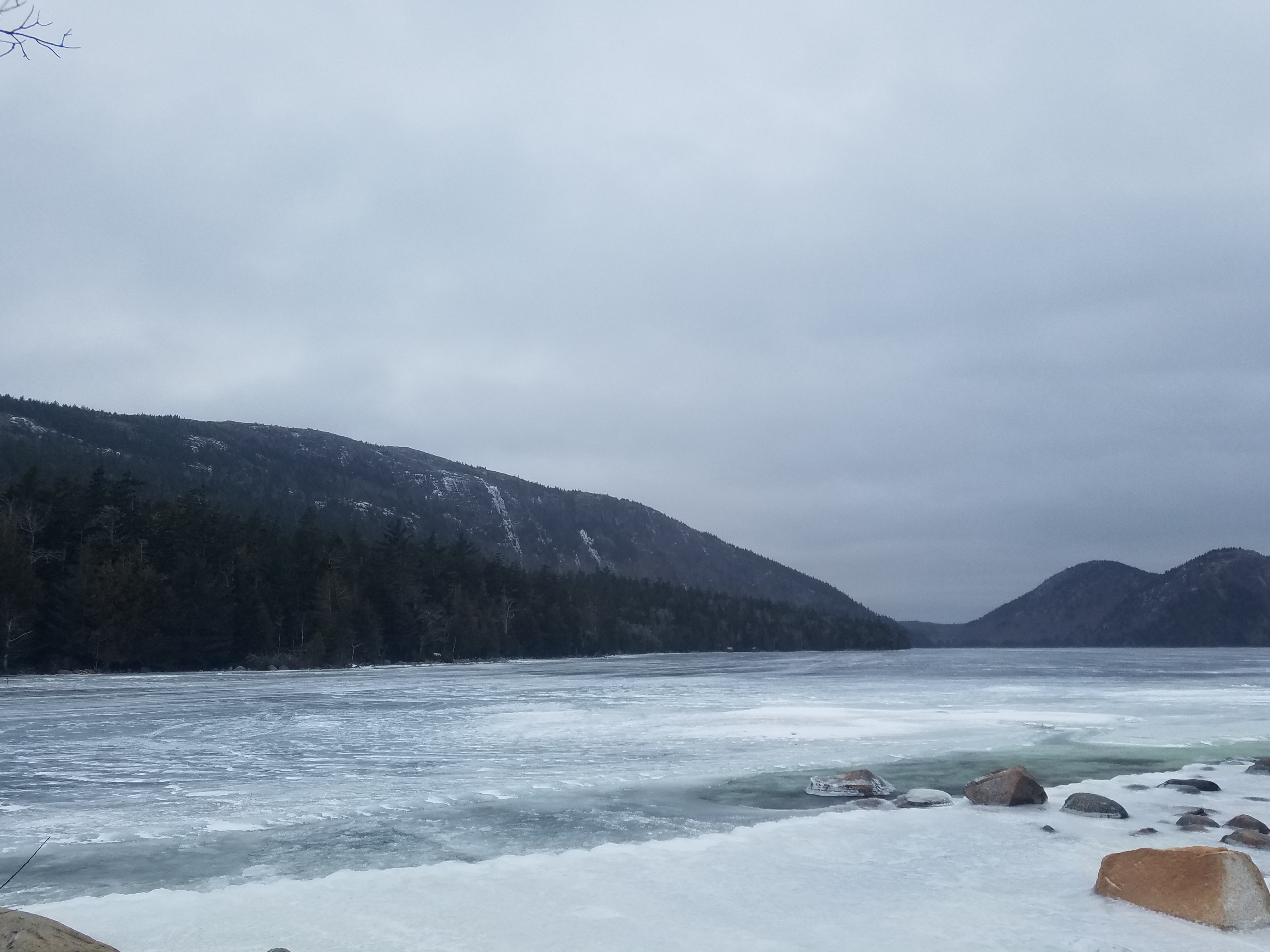
The Jordan Pond Path traverses the shore of Jordan Pond, one of Acadia’s most iconic landscapes. Located in a steep valley carved out by the retreat of glaciers, Jordan Pond is bordered by Penobscot, Pemetic, and two rounded peaks known as the Bubbles. Listen for the calls of common loons, search for signs of beaver activity, and watch the granite cliffs above for nesting peregrine falcons.
Distance: 3.3 mile loop
Terrain: Forested areas with uneven footing on wooden boardwalks, rocks, and footbridges
Jordan Pond is designated public water supply, so wading and swimming are prohibited at all times.
Hike Description
Note: The western half of the Jordan Pond Path is significantly more difficult than the eastern half, and may be challenging for families with small children, seniors, and people with mobility impairments.
The full loop consists of the eastern half, a short walk along the coast at the northern end of the pond, and a trek back to the trailhead along the western half (or said route in reverse). Visitors are encouraged to begin with the eastern half of the loop in case they choose to turn around, and the description below follows this order. See the photo gallery below the description for visual references.
At several points along the Jordan Pond Path, it intersects with other trails. Please check the difficulty and elevation profiles of these trails and make sure you are prepared before choosing to hike them.
Eastern Half
Start at the boat launch for Jordan Pond. Turn right and follow along the east shoreline.
The path is defined by even terrain and crushed stone underfoot. Use caution on stepping stones and bridges that allow water to flow from the slope above.
About two-thirds of the way along the eastern half of the loop, the Jordan Pond Path intersects with the Bubbles Trail and Jordan Pond Carry. This half of the Bubbles Trail leads to South Bubble and Bubble Rock.
Continue along the path to reach the northern end of the pond, which is marked by the Bubbles Divide Trailhead, as well as the Jordan Pond Buoy and two wooden log bridges slightly further along.
Western Half
Starting from the wooden bridges, continue along the path into the forest. Shortly after the bridge, the path intersects with the Deer Brook Trail, which crosses the Eagle Lake/Jordan Pond carriage road and eventually intersects with trails leading to Sargent Peak and Penobscot Peak.
The forest then gives way to an open, rocky area consisting of boulders that broke off from the sheer cliffs above. This area, while mostly level, involves stepping stones, uneven footing, and may require some scrambling. Use caution when climbing the rocks.
After the rocks is a raised wooden plank boardwalk through a forested area. Please stay on the path to protect vegetation.
At the end of the plank boardwalk, the path follows a short walk through the forest before coming to a small stone bridge. The gravel trail crossing the bridge is the Eagle Lake/Jordan Pond carriage road. Visitors may turn right after the bridge to continue along the carriage road, which intersects with the Jordan Stream Path further down.
To finish the Jordan Pond Path, turn left after the bridge into the small stone courtyard. Follow the shoreline to return to the Jordan Pond Path Trailhead.
Accessibility The Jordan Pond Path is not accessible. The trail has uneven footing, stepping stones, and a small bridge. The Jordan Pond restuarant area and boat launch are accessible.