
Norumbega Mountain Trail
Hike Norumbega Mountain Loop 3.2 mi round trip · the Park Service's write-up
2-3 Hours · dogs allowed
Start Norumbega Mountain
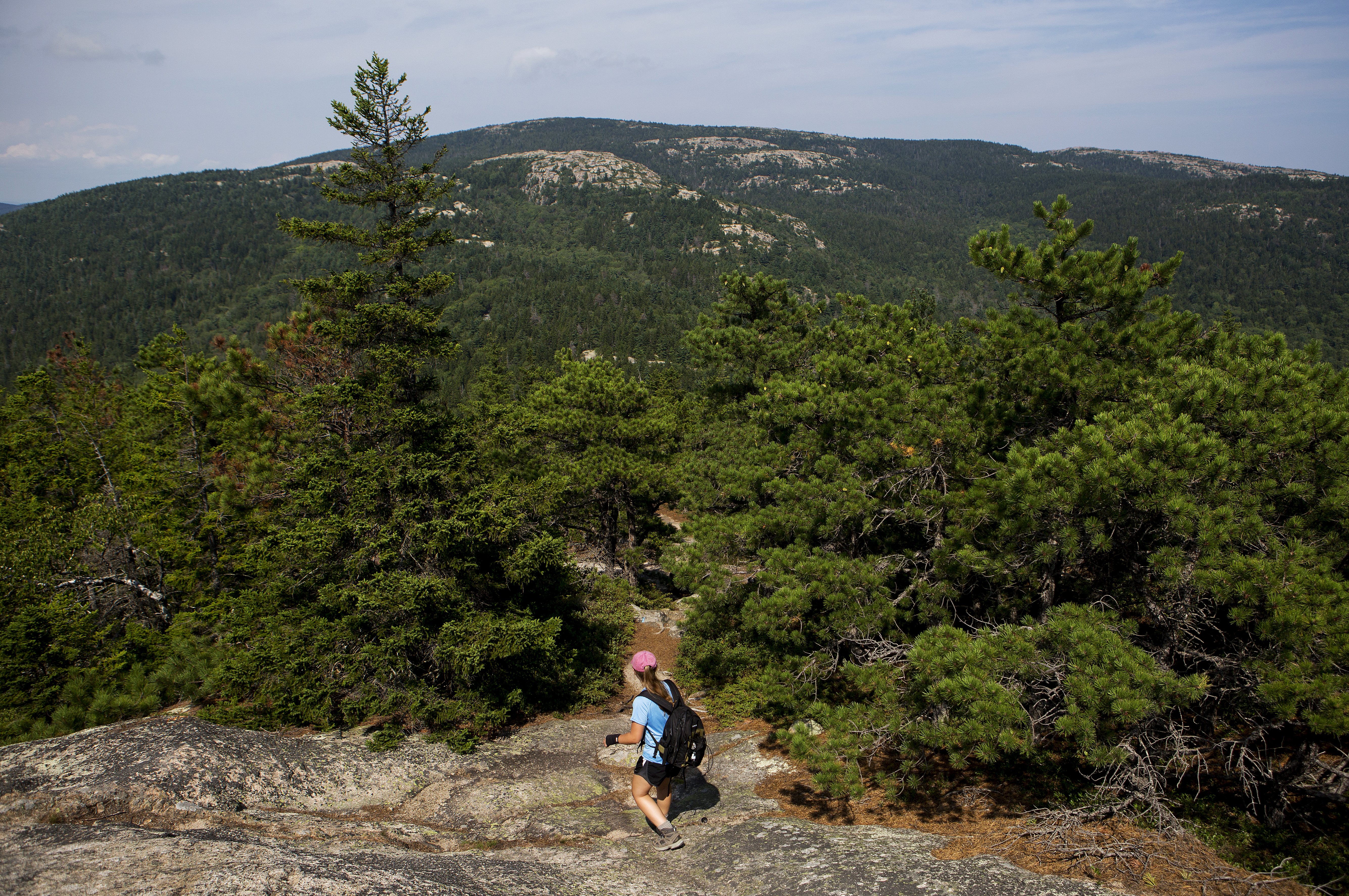
The Norumbega Mountain Loop features a steep hike up to the summit of Norumbega Mountain, then a gradual descent in the forest before hiking along the western shore of Lower Hadlock Pond. Portions of hike are on boardwalks since the trail goes over boggy areas.
Distance: 3.2 miles round trip
Terrain: The trail is rocky with uneven footing. Short, steep granite sections throughout. Some boardwalk sections along the pond's edge.
Hike Description
The Norumbega Loop starts on the northern end of the parking area. Follow signs for the Goat Trail.
The Goat Trail quickly ascends a steep section with granite boulders It joins with the Norumbega Mountain Trail along the ridge, and directly to the left of the signposts is the true summit of Norumbega Mountain at 852 ft.
The trail descends gradually through a forested area with some views of Somes Sound.
At the bottom, it reaches Lower Hadlock Pond and turns left on the Hadlock Pond Trail along the shoreline. The trail has some rooted sections and boardwalks over boggy areas before reaching a small waterfall where water flows from Upper Hadlock to Lower Hadlock Pond.
At the junction, take the Norumbega Connector to lead back to the parking area.
For a longer hike, add .4 miles by following the Hadlock Ponds Trail around Upper Hadlock Pond and Hadlock Brook Trail back to the highway.
Accessibility Norumbega Mountain Loop is not accessible. The trails have uneven footing, short, steep sections that require some scrambling, and some narrow boardwalks. There are no accessible restrooms at the trailhead.