
Jordan Pond Path
Boat launches
Along the way Jordan Pond
Hike Jordan Pond Loop with Island Explorer Bus the Park Service's write-up
1-2 Hours · dogs allowed · Spring, Summer, Fall
Start Jordan Pond Loop
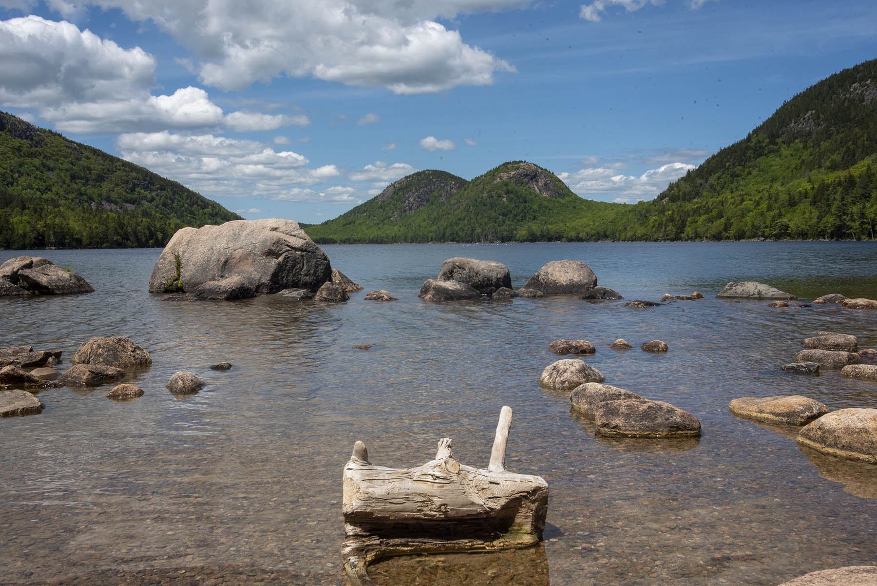
Offering visitors one of the of the iconic vistas of the Acadia, Jordan pond lies at the base three picturesque peaks: Pemetic, the Bubbles, and Penobscot. The pond is a remnant of glaciers and is the deepest of the lakes in the park at 150 feet and the second largest in the park. The calm, pristine water and the lush surroundings allow the visitor to relax on this 3.3-mile hike around the pond while soaking up some unforgettable scenery.
The Jordan Pond Loop circles one of the most picturesque ponds on the island and is considered a park crown jewel. It has been described as the “clearest lake in Maine”, and is a major tourist draw. It is at the base of several mountains that surround it, including the Bubbles on the north end, the steep rock face of Jordan Cliff to the west, and western flank of Pemetic Mountain to the east.
There are many opportunities to explore the shore of the pond and birdwatching is popular with peregrine falcons nesting in the towering rock face of Jordan Cliff during the summer, and common loons that nest on the pond below. The trail also allows for multiple opportunities to explore the shores of the pond.
Although it has no real elevation gain, the trail has three distinct walking surfaces to consider. The pond’s east side trail is mostly even with occasional exposed tree roots and rocks; the west portion requires rock hopping on and between large granite boulders, while the southwest section consists of a narrow boardwalk to protect the fragile wetland below. If looking for a hike with no obstacles, it is suggested to hike only the east side and return.
Accessibility The Jordan Pond path is an unpaved trail. The first 1.3 miles is the most even section, but there are exposed roots and rocks along the way. The west side of the pond consists of large boulders to be negotiated and narrow single-file boardwalks with widened areas to make passing possible.
Hike Jordan Pond Path 3.3 mi loop · the Park Service's write-up
1-3 Hours · dogs allowed
Start Jordan Pond
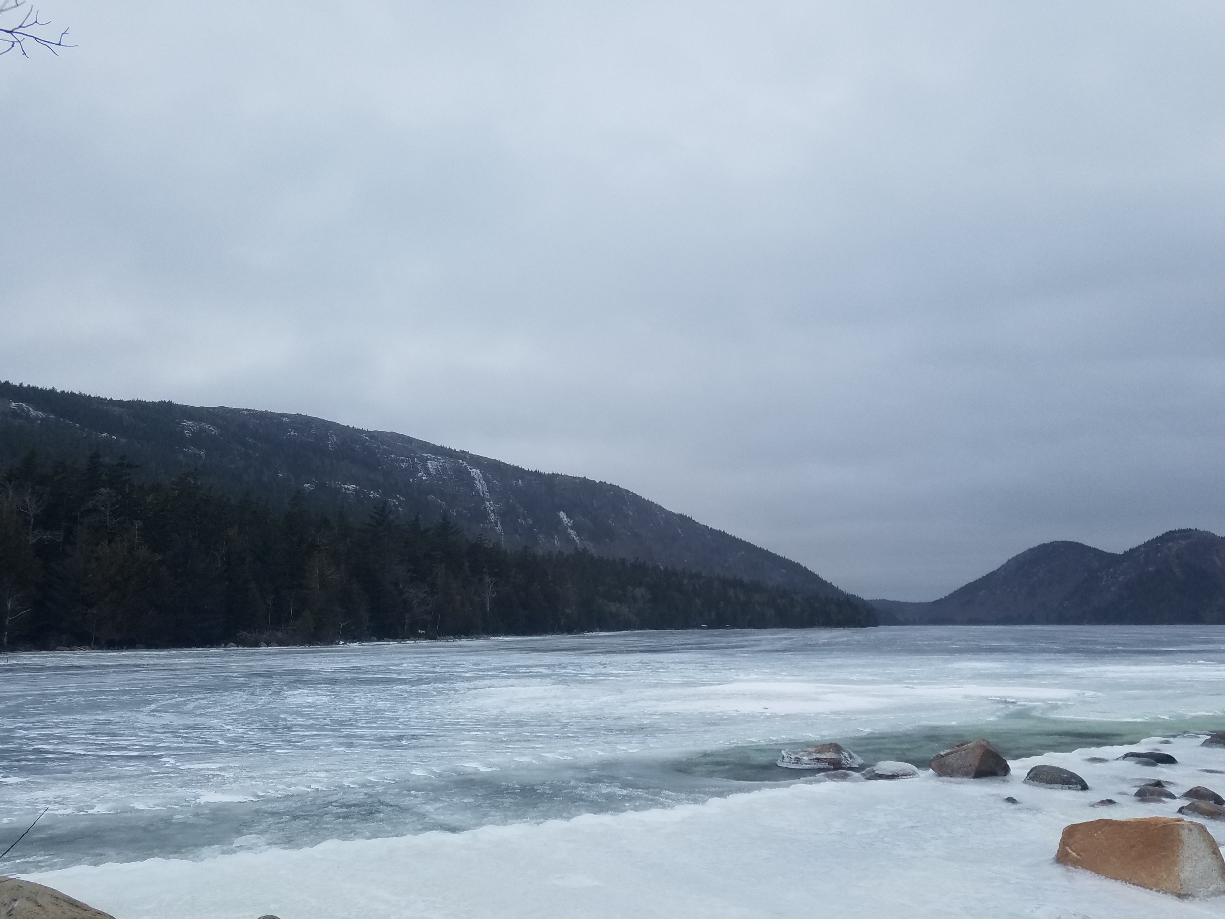
The Jordan Pond Path traverses the shore of Jordan Pond, one of Acadia’s most iconic landscapes. Located in a steep valley carved out by the retreat of glaciers, Jordan Pond is bordered by Penobscot, Pemetic, and two rounded peaks known as the Bubbles. Listen for the calls of common loons, search for signs of beaver activity, and watch the granite cliffs above for nesting peregrine falcons.
Distance: 3.3 mile loop
Terrain: Forested areas with uneven footing on wooden boardwalks, rocks, and footbridges
Jordan Pond is designated public water supply, so wading and swimming are prohibited at all times.
Hike Description
Note: The western half of the Jordan Pond Path is significantly more difficult than the eastern half, and may be challenging for families with small children, seniors, and people with mobility impairments.
The full loop consists of the eastern half, a short walk along the coast at the northern end of the pond, and a trek back to the trailhead along the western half (or said route in reverse). Visitors are encouraged to begin with the eastern half of the loop in case they choose to turn around, and the description below follows this order. See the photo gallery below the description for visual references.
At several points along the Jordan Pond Path, it intersects with other trails. Please check the difficulty and elevation profiles of these trails and make sure you are prepared before choosing to hike them.
Eastern Half
Start at the boat launch for Jordan Pond. Turn right and follow along the east shoreline.
The path is defined by even terrain and crushed stone underfoot. Use caution on stepping stones and bridges that allow water to flow from the slope above.
About two-thirds of the way along the eastern half of the loop, the Jordan Pond Path intersects with the Bubbles Trail and Jordan Pond Carry. This half of the Bubbles Trail leads to South Bubble and Bubble Rock.
Continue along the path to reach the northern end of the pond, which is marked by the Bubbles Divide Trailhead, as well as the Jordan Pond Buoy and two wooden log bridges slightly further along.
Western Half
Starting from the wooden bridges, continue along the path into the forest. Shortly after the bridge, the path intersects with the Deer Brook Trail, which crosses the Eagle Lake/Jordan Pond carriage road and eventually intersects with trails leading to Sargent Peak and Penobscot Peak.
The forest then gives way to an open, rocky area consisting of boulders that broke off from the sheer cliffs above. This area, while mostly level, involves stepping stones, uneven footing, and may require some scrambling. Use caution when climbing the rocks.
After the rocks is a raised wooden plank boardwalk through a forested area. Please stay on the path to protect vegetation.
At the end of the plank boardwalk, the path follows a short walk through the forest before coming to a small stone bridge. The gravel trail crossing the bridge is the Eagle Lake/Jordan Pond carriage road. Visitors may turn right after the bridge to continue along the carriage road, which intersects with the Jordan Stream Path further down.
To finish the Jordan Pond Path, turn left after the bridge into the small stone courtyard. Follow the shoreline to return to the Jordan Pond Path Trailhead.
Accessibility The Jordan Pond Path is not accessible. The trail has uneven footing, stepping stones, and a small bridge. The Jordan Pond restuarant area and boat launch are accessible.
Hike Pemetic Mountain Loop 4 mi round trip · the Park Service's write-up
2-3 Hours · no dogs · Spring, Summer, Fall
Start Pemetic Mountain
The Pemetic Mountain Loop combines a variety of hiking environments from an easy walk along a scenic pond to a rugged ascent. It culminates at an open granite summit with excellent views of the surrounding landscape, ocean and outlying islands.
Distance: 4 miles round trip
Terrain: Flat forested lake side trail, steep granite ledges and rocky trails, granite ridgelines, rooted forest trails
Hike Description
Start at Jordan Pond boat launch and turn right onto the Jordan Pond Path.
Continue along the east side of the pond for .8 miles. Enjoy views of South Bubble.
Turn right onto Jordan Pond Carry. Continue this trail to Bubble Rock parking lot.
Cross the road at the Pemetic Mountain Northwest Ridge Trailhead.
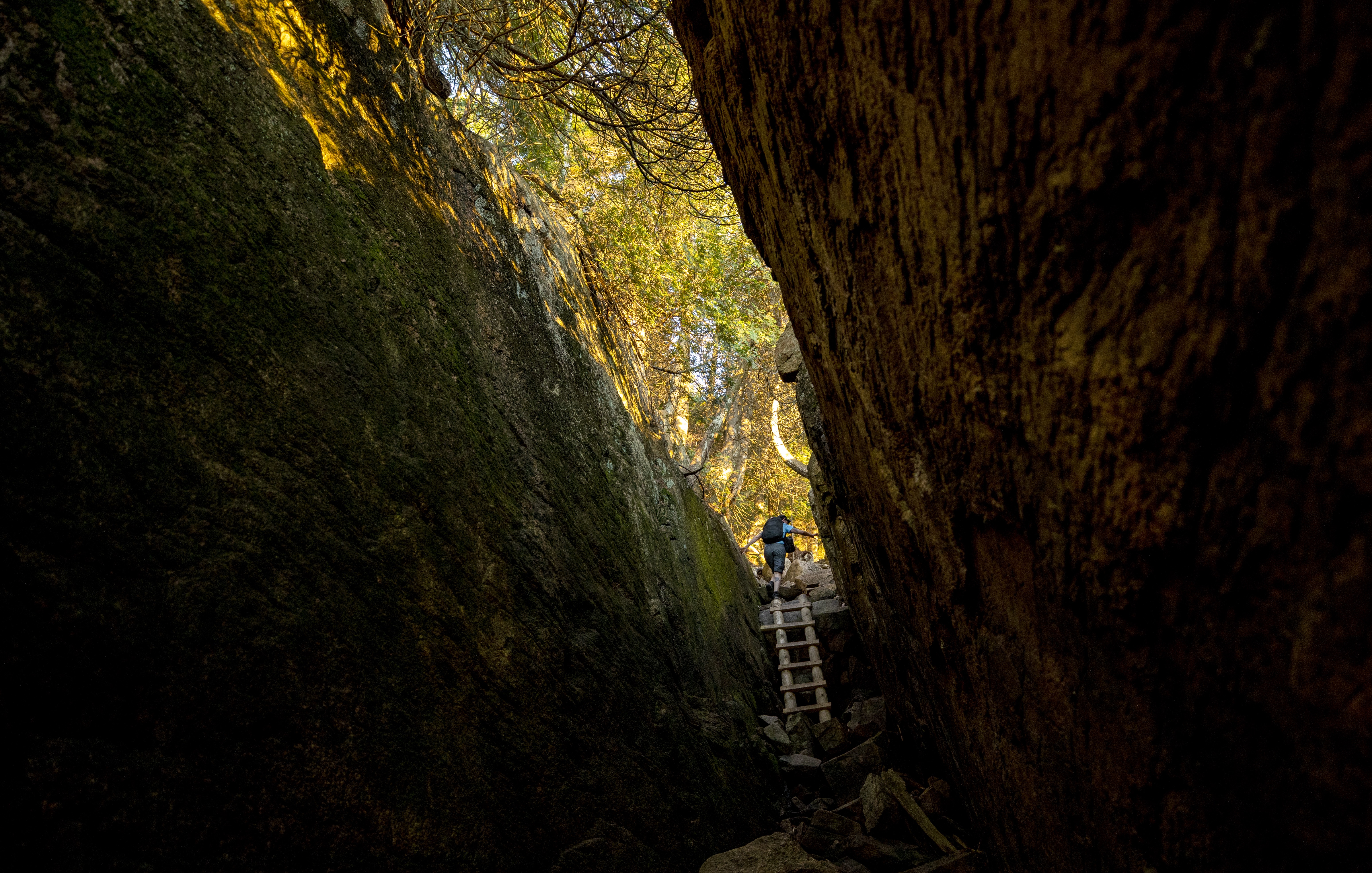
This trail follows a ravine with steep rocky granite sections, some requiring scrambling. Several iron rungs and a wooden ladder lead you to the summit of Pemetic Mountain.
Enjoy views of Jordan Pond, Penobscot Mountain, and Sargent Mountain from the summit.
Follow signs to descend on the Pemetic South Ridge Trail.
At the junction, turn right onto Bubble and Jordan Pond Path. Continue for .4 miles.
Cross the road to return to the Jordan Pond House and parking areas.
Pets Dogs are not allowed since there are iron rungs, ladders, and many steep sections.
Accessibility Pemetic Mountain Loop is not accessible. There is uneven footing, steep sections, and iron rungs and ladders along the route. There are accessible restrooms at Jordan Pond House.