
Homans Path
Hike Homans Path 0.3 mi one way · the Park Service's write-up
15-30 Minutes · dogs allowed · Spring, Summer, Fall
Start Homans Path
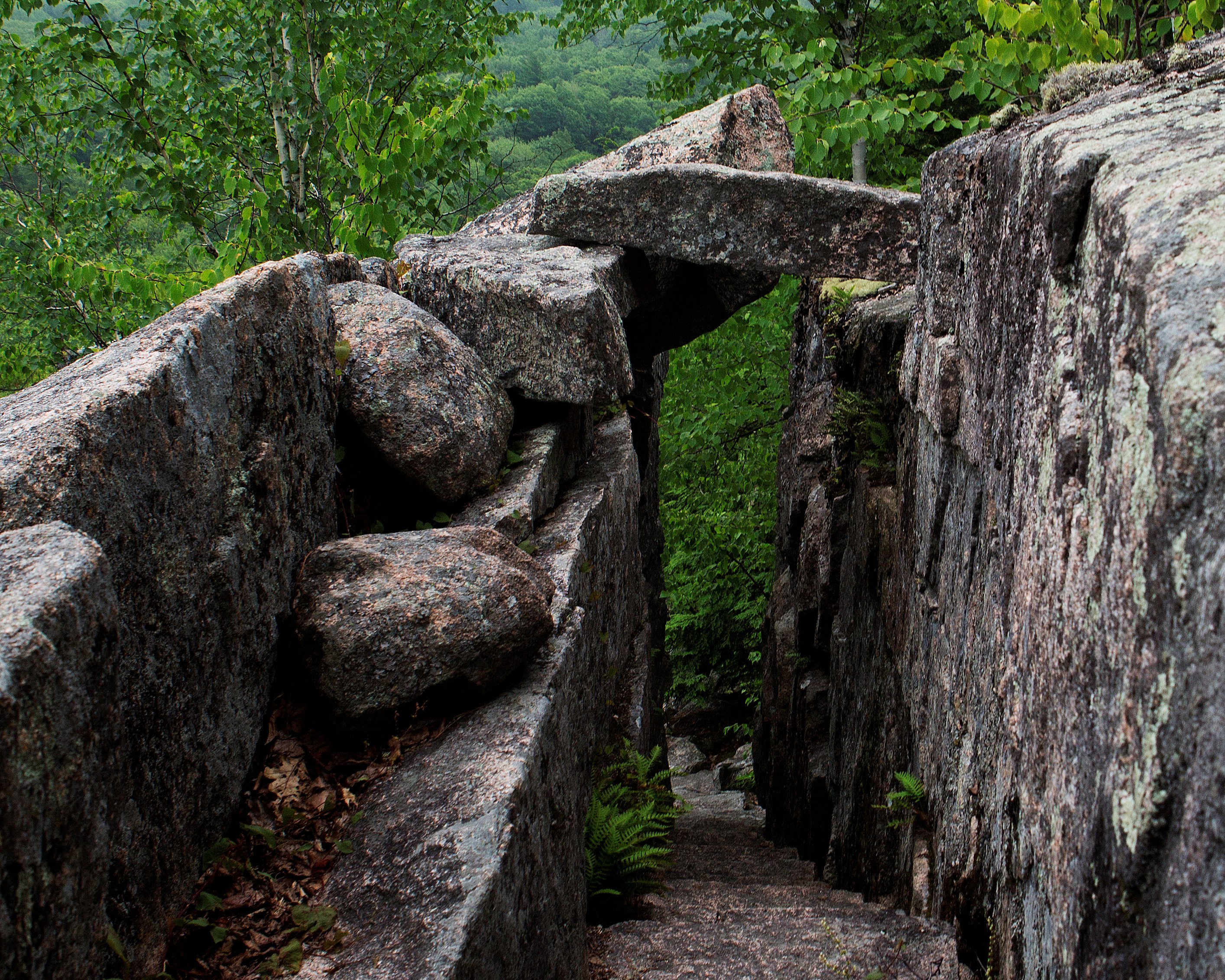
Homans Path is a memorial path at Sieur de Monts. It is a .3 mile steep ascent with impressive examples of intricate rock work. It is one of the routes to reach Schiff Path, and eventually the summit of Dorr Mountain.
It is named to honor Eliza Lothrop Homans for her major donations of land, including the Beehive and Bowl area, to the Hancock County Trustees of Public Reservations. It was unmaintained for a time and was removed from park maps in the 1940s. However, in 2003, Homans Path was officially reopened. In 2006, the trail was damaged by an earthquake, and had to be temporarily closed. Once repaired and safe to use again, the trail reopened in 2007.
Distance: .3 miles one way
Terrain: Forested area with steep and rocky sections, granite steps, narrow passages
Hike Description
Start at the Sieur de Monts Nature Center. Cross the small wooden bridge and walk around the left side of Wild Gardens of Acadia.
Follow the Jesup Path to the intersection with Hemlock Path and Homans Path.
Turn left onto Homans Path.
The trail quickly ascends for .3 miles on granite stairs and steep sections through the forest.
Join up with Emery Path.
To reach the summit of Dorr Mountain, follow Emery Path and continue onto Schiff Path for 1.2 miles.
To return to Sieur de Monts, retrace your steps back or take Emery Path or Kurt Diederichs Climb. All three trails are quick, steep descent with granite steps. Use caution, especially when the rock is wet and slippery.
Accessibility Homans Path is not accessible. The trail has uneven footing, steep sections, a narrow passage, and granite stairs throughout. There is an accessible restroom at Sieur de Monts.