
Hemlock Trail
Hike Jesup Path and Hemlock Path Loop 1.5 mi round trip · the Park Service's write-up
30-60 Minutes · dogs allowed
Start Sieur de Monts Nature Center
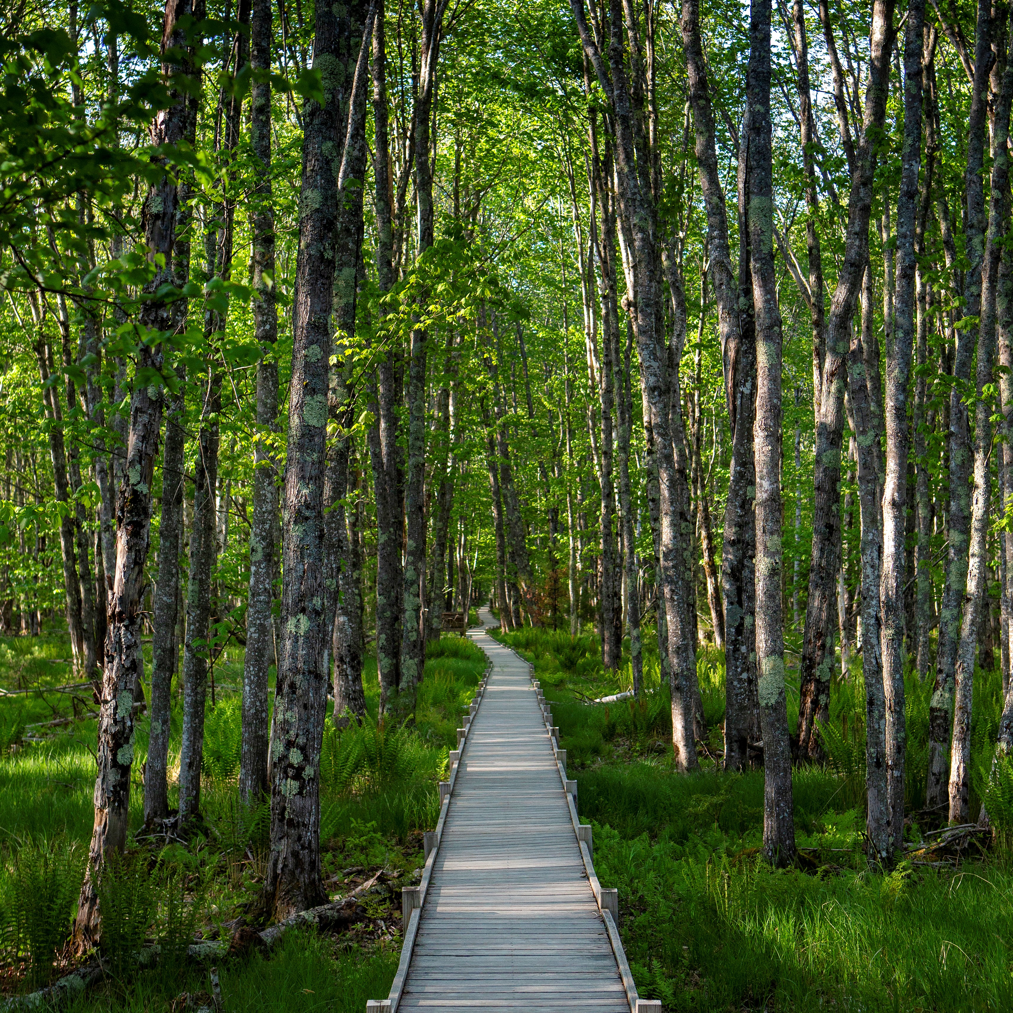
The Jesup Path and Hemlock Path Loop consists of two mostly level trails creating a figure-8. Starting at historic Sieur de Monts, this trail provides a walk through a hemlock and birch forest, a section of the Great Meadow wetland and provides breathtaking views of Dorr Mountain.
Birdwatching, photography, and dog walking are common activities along this trail. It is used routinely by people with mobility limitations and families with small children.
Distance: 1.5 miles round trip
Terrain: Compact, flat trail. Wooden boardwalk with benches and pullouts, wide, gravel fire road.
The fare-free Island Explorer serves this destination. Buses drop off and pick up at regular intervals throughout the day at a designated stop located at the edge of the parking lot. An electronic digital display notes scheduled bus arrival times.
Hike Description
Start the hike just before the entrance to the Wild Gardens of Acadia at Sieur de Monts. A wooden footbridge provides access to the Jesup Path.
Follow the path as it crosses Hemlock Path, and continue straight onto the boardwalk.
The boardwalk runs through a boggy, white birch forest. There are interpretive waysides and benches along the way.
As the boardwalk ends, the trail crosses Hemlock Path again. Continue through the Great Meadow, finally ending at the Park Loop Road.
Cross the Park Loop Road, and turn right onto the Great Meadow Loop. Use caution when crossing the Park Loop Road as there are no crosswalks.
At the next trail junction, turn right and cross back over the Park Loop Road onto Hemlock Path.
Follow Hemlock Path back into the Great Meadow, past the boardwalk, and through a forest of hemlocks.
The path leads back to Sieur de Monts parking lot.
.
Additional Descriptions:
Jesup Path
Hemlock Path
Accessibility The Jesup Path and Hemlock Path Loop is mostly accessible. Both trails are mostly level. The boardwalk is wide enough for a single wheelchair. There are accessible bathrooms across the parking lot from the trailhead.
Hike Village Green to Sieur de Monts with Island Explorer Bus the Park Service's write-up
1-1 Hours · dogs allowed · Spring, Summer, Fall
Start Hike Village Green to Sieur de Monts with Island Explorer Bus
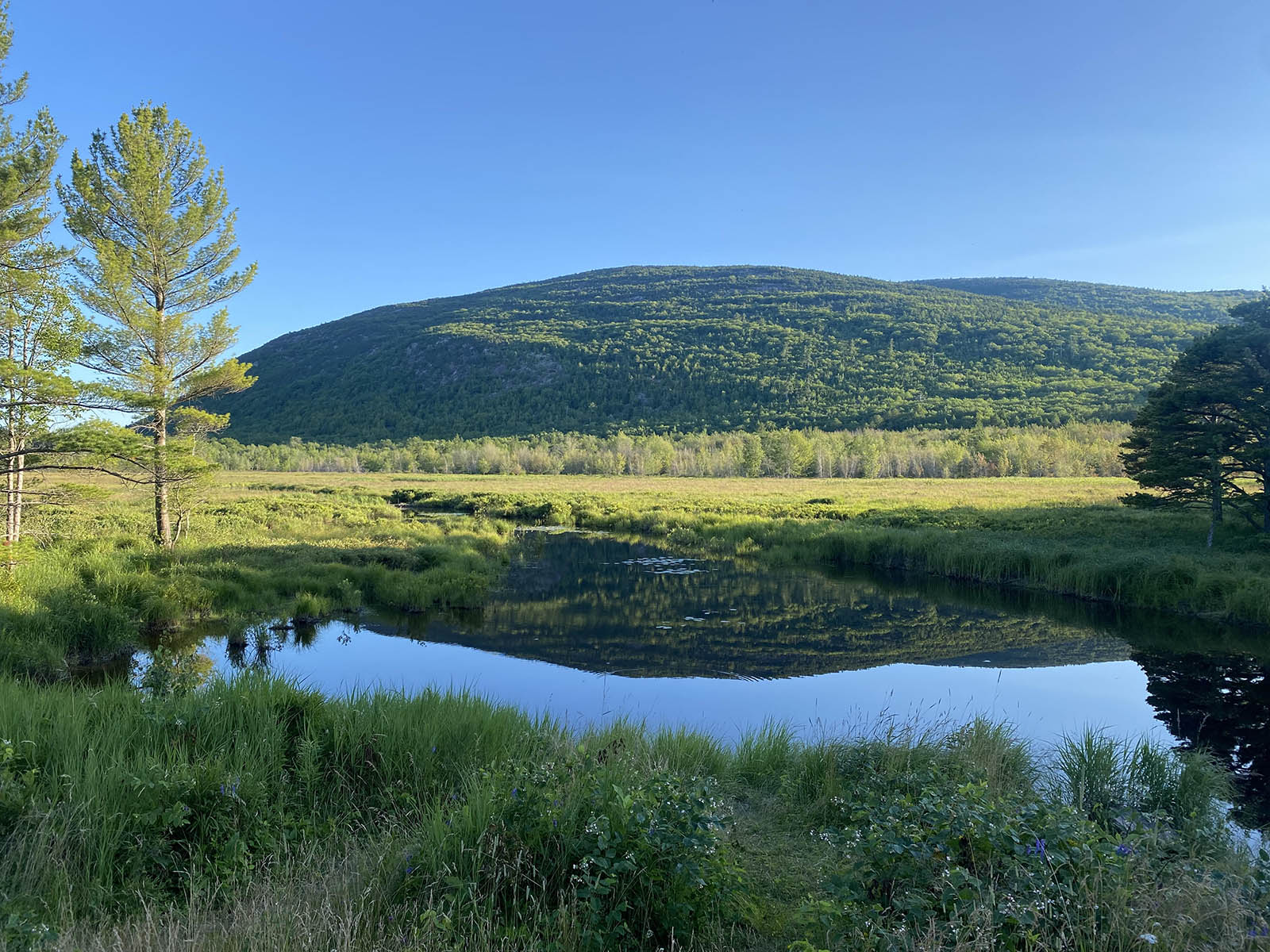
This hike starts in downtown Bar Harbor within walking distance to many hotels and other lodgings. It is a great alternative to driving into the park with gorgeous views of the Great Meadow and the mountains beyond.
If you are staying in Bar Harbor and want to stretch your legs by walking into Acadia, this hike is a wonderful alternative to driving. It begins in the middle of Bar Harbor at the Village Green, crosses through neighborhoods, and soon reaches the boundary of the park. The trail crosses the Great Meadow, the largest freshwater wetland in Acadia, and traverses a boardwalk which is a popular area for bird watching. It ends at Sieur de Monts, an area that includes the Nature Center, the Wild Garden and an Island Explorer bus stop that can take visitors to sought-after sites in the park or return them back to Bar Harbor.
Accessibility The Jesup Path boardwalk is a 3-foot-wide wooden boardwalk with benches and pullouts running through a wetland area. The Jesup Path boardwalk is 3 foot wide and accessible.