
Hadlock Ponds Trail
Hike Hadlock Ponds Loop 4.1 mi round trip · the Park Service's write-up
2-4 Hours · dogs allowed
Start Hadlock Ponds
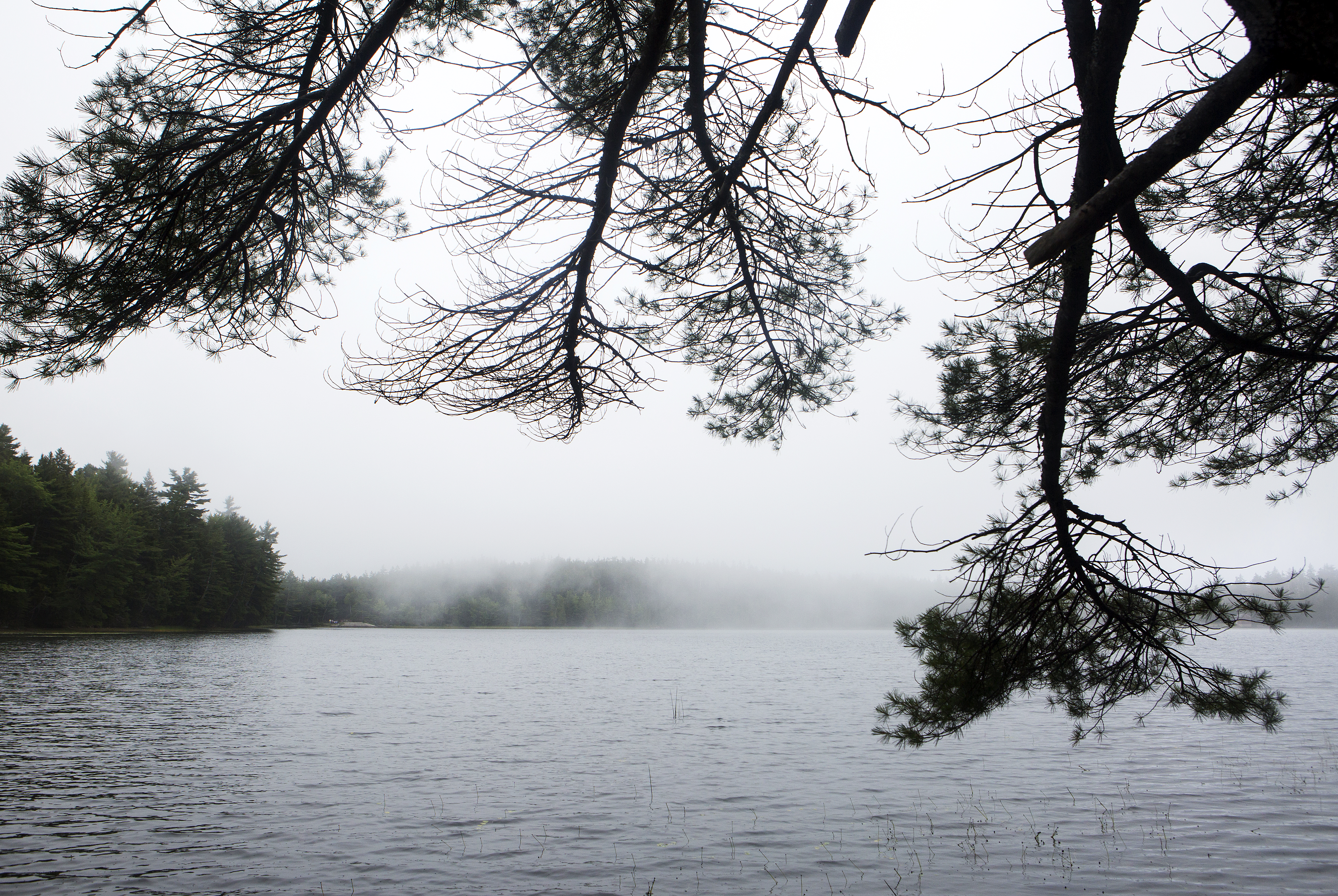
Serene woods, babbling brooks, and crystal clear ponds accompany hikers throughout this walk. Enjoy boardwalks, wooden bridges and some uneven terrain on this figure eight trail that includes both Lower and Upper Hadlock Ponds. Listen for the iconic wail of common loons who can be seen on this hike.
Distance: 4.1 miles round trip
Terrain and Safety: The trail has places with uneven footing. Bog walks can be narrow and slippery when wet. Good footwear is recommended.
Hike Description
Park at the Norumbega Mountain parking area. This is a parking area on Route 198 that is a pull through parking area on the western side of the highway. Cross Rt. 198 safely and begin walking on the Hadlock Ponds Trail.
The Hadlock Ponds Trail begins with a dirt path through the woods. Follow this trail 0.5 miles past multiple other trail intersections and two carriage road intersections. Always make sure to continue on the trail directed to by a sign with Hadlock Ponds Trail carved into it.
Continue another 0.7 miles after the last carriage road intersection to begin following the edge of Upper Hadlock Ponds. Watch out for uneven terrain and roots within the trail. As the trail parallels the pond it does become a narrow bogwalk. Appropriate footwear with good traction is recommended. Bogwalk is very slippery when wet. Caution is advised.
The trail will intersect with Route 198. Safely cross Route 198 and continue on the Hadlock Ponds Trails for 0.3 miles. The trail winds it way past brooks and many vernal pools in this section. Pay close attention to the blue blazes that mark the trail.
The Hadlock Ponds trail splits at Lower Hadlock Pond. Take a left to continue around the pond. Follow this trail 1.6 miles to circle Lower Hadlcok Pond in its entirety.
Once the loop has been completed around Lower Hadlock Pond, return back up the trail first taken after crossing Route 198. In 0.1 miles there will be an intersection with the Norumbega Connector Trail. Take this trail 0.9 miles through spruce woods back to the Norumbega Parking area. This trail has a lot of tree roots. Sturdy footwear is recommended.
The Hadlock Ponds loop is 4.1 miles round trip. However, there are many ways to shorten this hike if desired.
Accessibility The Hadlock Ponds Loop is not accessible. The trail has uneven footing and narrow bogwalks.