
Great Meadow Loop
Hike Village Green to Sieur de Monts with Island Explorer Bus the Park Service's write-up
1-1 Hours · dogs allowed · Spring, Summer, Fall
Start Hike Village Green to Sieur de Monts with Island Explorer Bus
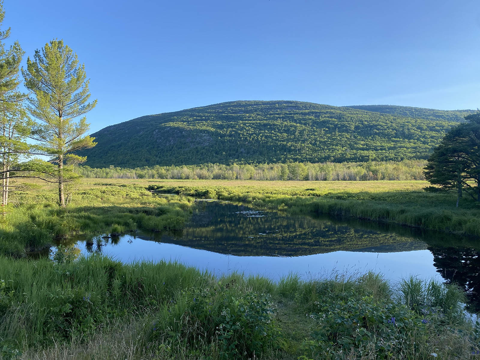
This hike starts in downtown Bar Harbor within walking distance to many hotels and other lodgings. It is a great alternative to driving into the park with gorgeous views of the Great Meadow and the mountains beyond.
If you are staying in Bar Harbor and want to stretch your legs by walking into Acadia, this hike is a wonderful alternative to driving. It begins in the middle of Bar Harbor at the Village Green, crosses through neighborhoods, and soon reaches the boundary of the park. The trail crosses the Great Meadow, the largest freshwater wetland in Acadia, and traverses a boardwalk which is a popular area for bird watching. It ends at Sieur de Monts, an area that includes the Nature Center, the Wild Garden and an Island Explorer bus stop that can take visitors to sought-after sites in the park or return them back to Bar Harbor.
Accessibility The Jesup Path boardwalk is a 3-foot-wide wooden boardwalk with benches and pullouts running through a wetland area. The Jesup Path boardwalk is 3 foot wide and accessible.